



Top-rated land clearing pros.

Get matched with top land clearing pros in Seneca, MI

Enter your zip and get matched with up to 5 pros

Need a pro for your land clearing project in Seneca, MI?

Select your specific project to find the pro for you.

TRUSTED BY SENECA, MI HOMEOWNERS

  • Average homeowner rating star icon5
    Average homeowner rating
  • Verified reviews icon16
    Verified land clearing services reviews

Find Land clearing pros in Seneca

Avatar for Ten Point Contracting
Ten Point Contracting
New to Angi

Serving Seneca, MI and surrounding areas

Approved

Free estimates

Emergency services offered

Small jobs welcome

Hi, I’m Loren Brown, owner of Ten Point Contracting, based in Archbold, Ohio. We specialize in landworks, property improvement, and habitat-focused outdoor services across northwest Ohio and surrounding areas. Whether you need driveway grading, brush cutting, trenching, tilling, seeding, land leveling, trail clearing, or food plot and water hole installation, we take pride in doing quality work with honest communication and attention to detail.\n\nAt Ten Point Contracting, we believe in treating every property like it’s our own. Our goal is to help customers improve and enjoy their land — whether that’s for recreation, hunting, agriculture, or everyday property maintenance. We’re a local, hardworking small business focused on dependable service, fair pricing, and results you can be proud of.\n\nWe appreciate the opportunity to earn your business and look forward to helping bring your project to life.

4 neighbors recently requested a quote
Showing 1-10 of 15
Land Clearing Services questions, answered by experts

The small lines on the tape measure either indicate inches, fractions of an inch, or centimeters and millimeters. On the imperial unit side (aka the inches side), the longest lines indicate inches, followed by the next shortest lines that indicate a half-inch, and then the quarter, eighth, and sixteenth-inch. On the metric side, the lines break down meters, centimeters, and millimeters.

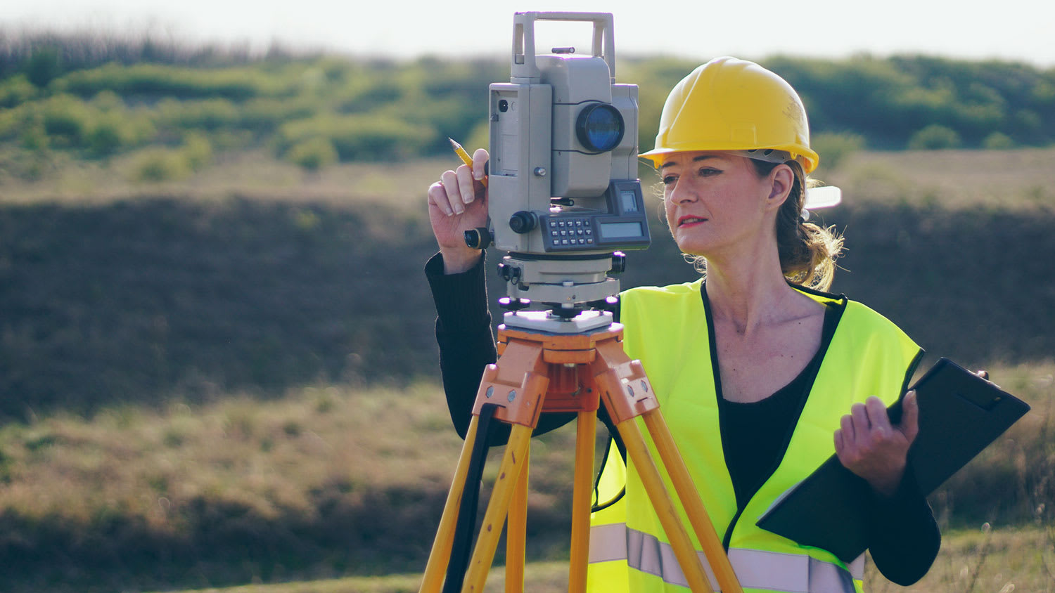
A boundary survey measures the boundary lines of the property, only the length of each property line and their locations. A land survey includes a more in-depth measurement of the property, including the heights and depths of the terrain measured by a topographic survey. A boundary survey is typically the most cost-effective method for marking and measuring property lines.

Land surveying can help give clear guidance on your property boundaries for numerous situations. And in some cases, having your land surveyed is a requirement. Some common reasons to have your land surveyed include:

  • Planning for construction projects, like building a fence

  • Locating utilities, such as plumbing fixtures

  • Settling property line disputes 

  • Creating subdivisions 

  • Meeting mortgage requirements

  • Selling your property

Soil testers and licensed excavators are often the professionals you hire if you need a perc test. In some cases, structural engineers will also be able to conduct the test for you. In many municipalities, you’ll need your professional on-site to dig and fill the holes with water, as well as a representative from your local building department or health department. That representative is the individual who will determine whether your test passes or fails.

Land survey reports have a boatload of information relevant to several scenarios. Here are the types of information contained with a survey, though it depends on your chosen type of land survey. Exact boundaries and dimensions of a given property General topography, including both natural and artificial landmarks Location of utility fixtures, like water mains Confirmation of any easements or encroachments on a piece of property Assessment of land elevation to buy flood insurance Updated information to add to a pre-existing property map

The Seneca, MI homeowners’ guide to land clearing services

From average costs to expert advice, get all the answers you need to get your job done.