




Top-rated land clearing pros.

Get matched with top land clearing pros in West Unity, OH

Enter your zip and get matched with up to 5 pros

Need a pro for your land clearing project in West Unity, OH?

Select your specific project to find the pro for you.

TRUSTED BY WEST UNITY, OH HOMEOWNERS

  • Average homeowner rating star icon4.5
    Average homeowner rating
  • Verified reviews icon28
    Verified land clearing services reviews

Find Land clearing pros in West Unity

Avatar for MR. MILLER CONCRETE LLC
MR. MILLER CONCRETE LLC
4.9(
32
)
Building Site - Preparation and ClearingBuilding Site - Preparation and Clearing - For Business

Serving West Unity, OH and surrounding areas

Approved

In business since 2022

Free estimates

Emergency services offered

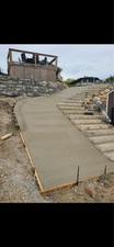
"Josh and his crew very professionally and friendly. I had old driveway and sidewalk removed, and new driveway and sidewalk replaced in under 6hrs . Josh always responding quickly with quotes and any questions I had. Very pleased with every aspect of the work they did and would definitely recommend."
Response time1 day
19 neighbors recently requested a quote
Recommended by96%of homeowners
Avatar for Ten Point Contracting
Ten Point Contracting
New to Angi
Building Site - Preparation and Clearing - For Business

Serving West Unity, OH and surrounding areas

Approved

Free estimates

Emergency services offered

Small jobs welcome

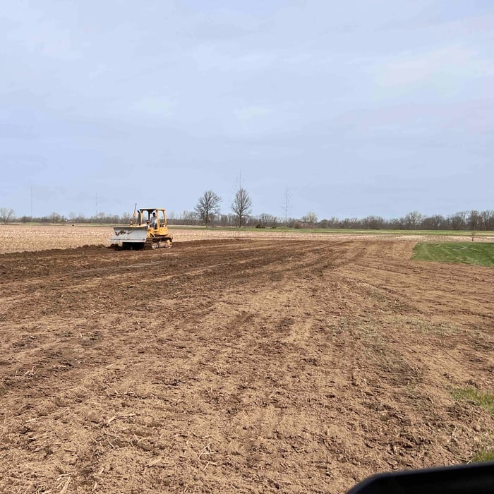
Hi, I’m Loren Brown, owner of Ten Point Contracting, based in Archbold, Ohio. We specialize in landworks, property improvement, and habitat-focused outdoor services across northwest Ohio and surrounding areas. Whether you need driveway grading, brush cutting, trenching, tilling, seeding, land leveling, trail clearing, or food plot and water hole installation, we take pride in doing quality work with honest communication and attention to detail.\n\nAt Ten Point Contracting, we believe in treating every property like it’s our own. Our goal is to help customers improve and enjoy their land — whether that’s for recreation, hunting, agriculture, or everyday property maintenance. We’re a local, hardworking small business focused on dependable service, fair pricing, and results you can be proud of.\n\nWe appreciate the opportunity to earn your business and look forward to helping bring your project to life.

2 neighbors recently requested a quote
Showing 1-10 of 23
Land Clearing Services questions, answered by experts

There are a couple of ways you can determine the depth of your well. One method is to use a device called a well sounder. This tool has a long measuring tape containing a sensor to alert you once the end reaches the water. 

Or you can DIY it by using a long tape measure with a half-filled bottle of water attached to it. Lower the tape measure into your well. Once you feel tension on the tape, you’ll know the bottle has reached your static water level. This will give you an approximate idea of your well’s depth.

A land survey defines and records the physical aspects of a property, including its boundaries, dimensions, easements, features, and sometimes topographical information. In contrast, a land appraisal determines the property's monetary value. While an appraiser will often consult a land survey to understand the property's physical specifications, the survey itself does not determine the land's value.

A boundary survey measures the boundary lines of the property, only the length of each property line and their locations. A land survey includes a more in-depth measurement of the property, including the heights and depths of the terrain measured by a topographic survey. A boundary survey is typically the most cost-effective method for marking and measuring property lines.

The small lines on the tape measure either indicate inches, fractions of an inch, or centimeters and millimeters. On the imperial unit side (aka the inches side), the longest lines indicate inches, followed by the next shortest lines that indicate a half-inch, and then the quarter, eighth, and sixteenth-inch. On the metric side, the lines break down meters, centimeters, and millimeters.

A land survey includes the layout of a single property, including precise measurements and to-scale drawings of boundary lines, land improvements, and sometimes other features, like topography and drainage information. A plat map includes the layouts and boundary lines of several adjacent plots and basic structure measurements. Surveys are normally more valuable for homeowners and buyers, and plat maps are for governmental use.

The West Unity, OH homeowners’ guide to land clearing services

From average costs to expert advice, get all the answers you need to get your job done.