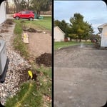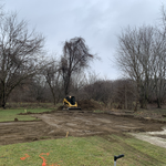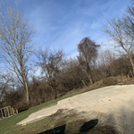


Top-rated land clearing pros.

Get matched with top land clearing pros in Swanton, OH

Enter your zip and get matched with up to 5 pros

Need a pro for your land clearing project in Swanton, OH?

Select your specific project to find the pro for you.

TRUSTED BY SWANTON, OH HOMEOWNERS

  • Average homeowner rating star icon4.6
    Average homeowner rating
  • Verified reviews icon172
    Verified land clearing services reviews

Find Land clearing pros in Swanton

Avatar for Apex Excavating Services LLC
Apex Excavating Services LLC
5.0(
4
)
Building Site - Preparation and ClearingBuilding Site - Preparation and Clearing - For Business

Serving Swanton, OH and surrounding areas

Approved

In business since 2025

Free estimates

Emergency services offered

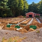
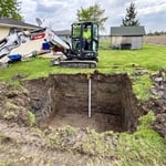
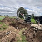
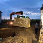
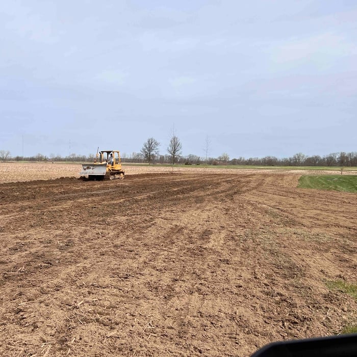
Apex Excavating Services is a locally owned and operated company serving Napoleon, Ohio, and the surrounding communities. We provide excavation, site work, grading, trenching, drainage, septic system installation, land clearing, and demolition services. From the first conversation through the final grade, we focus on honest communication, dependable service, and quality workmanship. Every project receives careful attention to detail and is completed with respect for your property. Built on experience. Focused on excellence.

Septic installation
Septic installation
Septic installation
Septic installation
Site Clearing & Grading

+21

Showing 1-10 of 33
Land Clearing Services questions, answered by experts

A land survey includes the layout of a single property, including precise measurements and to-scale drawings of boundary lines, land improvements, and sometimes other features, like topography and drainage information. A plat map includes the layouts and boundary lines of several adjacent plots and basic structure measurements. Surveys are normally more valuable for homeowners and buyers, and plat maps are for governmental use.
A boundary survey measures the boundary lines of the property, only the length of each property line and their locations. A land survey includes a more in-depth measurement of the property, including the heights and depths of the terrain measured by a topographic survey. A boundary survey is typically the most cost-effective method for marking and measuring property lines.

Land surveying can help give clear guidance on your property boundaries for numerous situations. And in some cases, having your land surveyed is a requirement. Some common reasons to have your land surveyed include:

  • Planning for construction projects, like building a fence

  • Locating utilities, such as plumbing fixtures

  • Settling property line disputes 

  • Creating subdivisions 

  • Meeting mortgage requirements

  • Selling your property

When planning for land survey costs, you should consider the following elements as major contributors to the overall cost:

  • Size of your property in terms of acres or square feet

  • Complexity of the terrain in terms of hills, elevation changes, rocks, water, and other features

  • Type of survey you need (boundary survey, topographic survey, or a combination of survey types)

  • Distance traveled for the professional surveyor

This is fairly rare, but sometimes the local government or a group like a historical society will label a tree as a landmark, or historical item. These designations almost always come with a small, on-site plaque for identification, but you should also be able to look up protected trees in your area on a city website or similar list. If the tree in question is a landmark, call your local government and ask how to proceed before making any plans.

The Swanton, OH homeowners’ guide to land clearing services

From average costs to expert advice, get all the answers you need to get your job done.