

Top-rated land clearing pros.

Best land clearing pros near Saline, MI

Enter your zip and get matched with up to 5 pros

Need a pro for your land clearing project in Saline, MI?

Select your specific project to find the pro for you.

TRUSTED BY SALINE, MI HOMEOWNERS

  • Average homeowner rating star icon4.6
    Average homeowner rating
  • Verified reviews icon690
    Verified land clearing services reviews

Top-Rated Land clearing pros in Saline - Updated Nov 2026

Avatar for NGU DRAIN CLEANING
NGU DRAIN CLEANING
4.6(
49
)
Building Site - Preparation and ClearingBuilding Site - Preparation and Clearing - For Business

Serving Saline, MI and surrounding areas

In business since 2010

Free estimates

Emergency services offered

"The tub was rusted by the drain. We wanted to find the leak and thought it was correct to replace the drain. They matched the brushed satin color and tried to find a larger part that would cover the rust to look nicer. A larger part was not to be found so a lot of caulking was done. No leaks as of install. Nice, respectful and cleaned up after. I will hire them again when we replace the tub."
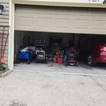
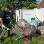
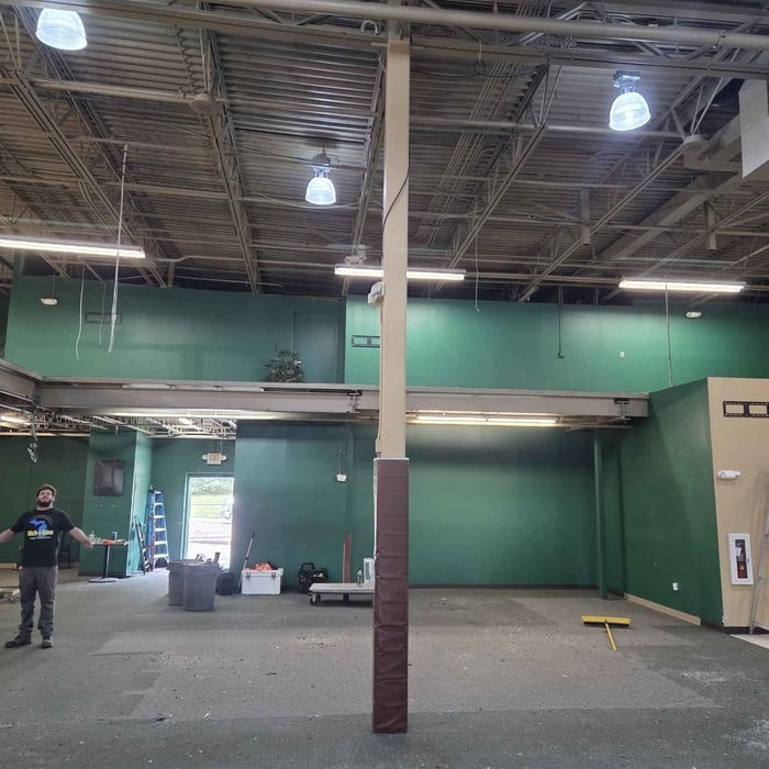
Additional Photos
Additional Photos
Additional Photos
Additional Photos
Additional Photos

+12

Recommended by93%of homeowners
Avatar for Clog-Busters Sewer & Drain Services LLC
Clog-Busters Sewer & Drain Services LLC
5.0(
26
)
Building Site - Preparation and ClearingBuilding Site - Preparation and Clearing - For Business

Serving Saline, MI and surrounding areas

In business since 1999

Credit card accepted

"We had some sewage back up into our basement sink on a Saturday morning. I called Clog Busters based on their Angie’s List reviews. They didn’t have a crew available on the weekend, but were available on the following Monday. The crew did a great job explaining the problem and finding a solution for me. Great customer service and they earned their money working in some frigid and snowy weather. I hope to never have another sewer backup, but if I do, I will call Clog Busters."
Recommended by92%of homeowners
Showing 1-10 of 48
Land Clearing Services FAQs, answered by experts

Professional well contractors may use electromagnetic mapping to look for places with a high likelihood of water. Water access can vary significantly, even on the same property, so it can be difficult to know where to drill if you don’t have specialized tools to look for water.

Land survey reports have a boatload of information relevant to several scenarios. Here are the types of information contained with a survey, though it depends on your chosen type of land survey. Exact boundaries and dimensions of a given property General topography, including both natural and artificial landmarks Location of utility fixtures, like water mains Confirmation of any easements or encroachments on a piece of property Assessment of land elevation to buy flood insurance Updated information to add to a pre-existing property map

A few different types of land surveys can help determine certain features and boundaries of your property. These include:

  • Boundary surveys describe the actual borders of a property. These are generally required when trying to get construction permits issued. 

  • Location surveys provide much of the same information as a boundary survey but also include in-depth information about any improvements made to your property. 

  • Mortgage location surveys are usually required by lenders and title companies before financing or offering an insurance policy. 

  • Site-planning surveys are done before applying for building permits and can be issued before any major home improvements. 

  • Topographic surveys provide a formal map of land elevations. It can also describe the location and size of natural features and any land improvements.

There are a couple of ways you can determine the depth of your well. One method is to use a device called a well sounder. This tool has a long measuring tape containing a sensor to alert you once the end reaches the water. 

Or you can DIY it by using a long tape measure with a half-filled bottle of water attached to it. Lower the tape measure into your well. Once you feel tension on the tape, you’ll know the bottle has reached your static water level. This will give you an approximate idea of your well’s depth.

A land survey includes the layout of a single property, including precise measurements and to-scale drawings of boundary lines, land improvements, and sometimes other features, like topography and drainage information. A plat map includes the layouts and boundary lines of several adjacent plots and basic structure measurements. Surveys are normally more valuable for homeowners and buyers, and plat maps are for governmental use.

The Saline, MI homeowners’ guide to land clearing services

From average costs to expert advice, get all the answers you need to get your job done.