
Get matched with top land surveyors in Munith, MI
Enter your ZIP and get matched with up to 5 pros
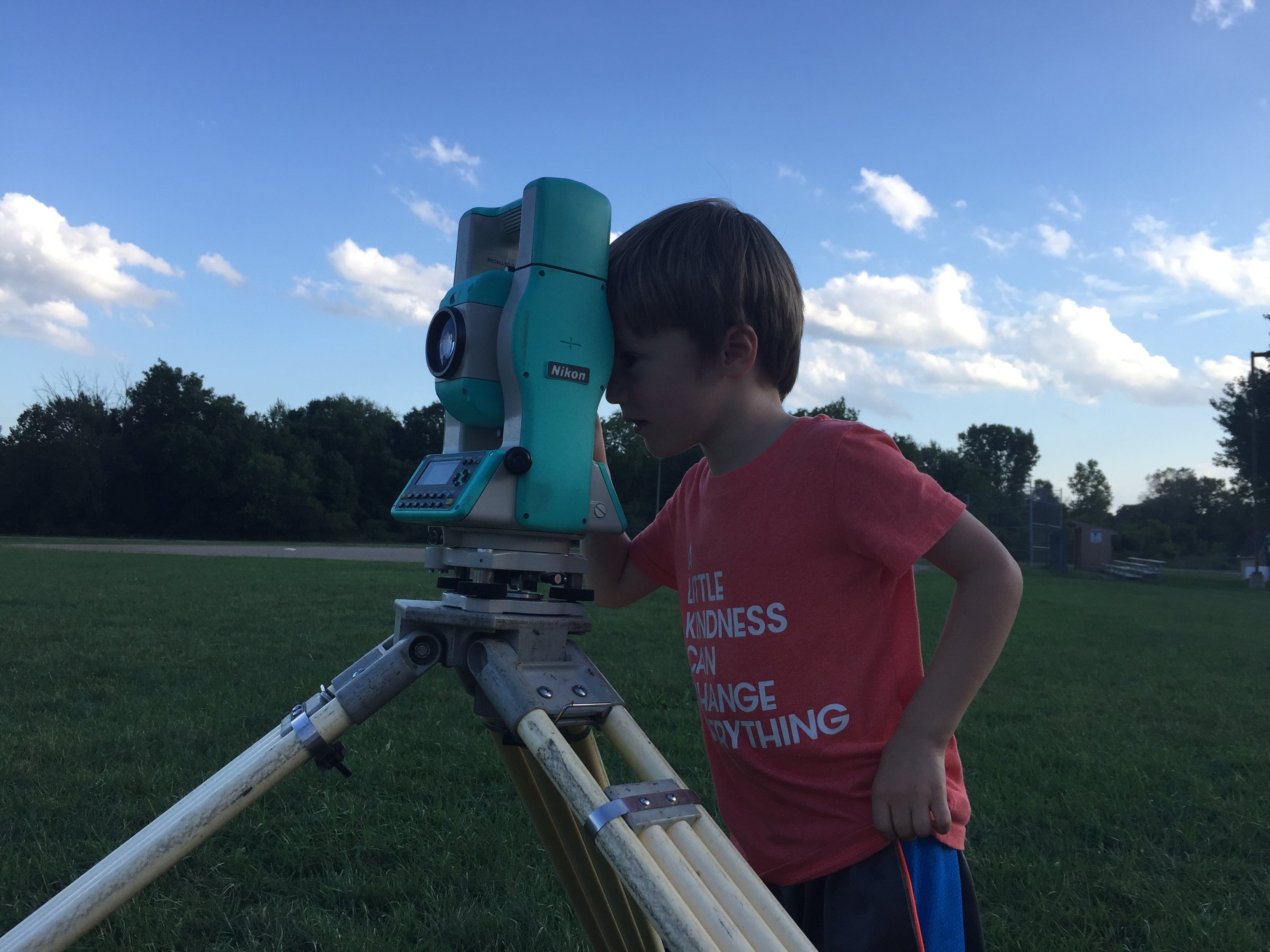
Need a pro for your land surveying project in Munith, MI?
Select your specific project to find the pro for you.
Verified Reviews for Land Surveying pros in Munith, MI
*The Angi rating for Land Surveying companies in Munith, MI is a rating based on verified reviews from our community of homeowners who have used these pros to meet their Land Surveying needs.
*The HomeAdvisor rating for Land Surveying companies in Munith, MI is a rating based on verified reviews from our community of homeowners who have used these pros to meet their Land Surveying needs.
Last update on December 04, 2025


Find Land surveyors in Munith
Fauser Land Surveying
Fauser Land Surveying
A professional Land Surveying service providing boundary and topography services and more in Leslie, MI and serving Ingham, Jackson, and Eaton counties.
A professional Land Surveying service providing boundary and topography services and more in Leslie, MI and serving Ingham, Jackson, and Eaton counties.
Flint Surveying & Engineering Co
Flint Surveying & Engineering Co
Customers say: Quick response
Recommended by 100% of Angi customers
Recommended by 100% of HomeAdvisor customers
FSE Company was established in the year 1957. At the firm's inception, civil engineering and land surveying services were provided with the idea of excellence in endeavor and client satisfaction. Today this earlier philosophy has helped to blossom FSE Company into a specialized niche firm of unique professionals providing full service engineering, geodetic surveying, and project management services serving the industry. Our objective is to provide our clients with the best services to achieve their individual goals. We stress sound engineering principles, cost effectiveness, technical accuracy, practical feasibility, and compliance with regulatory requirements in our approach to serving clients. We have made the choice to remain a firm servicing the land development needs of our clients, to insure that we can provide our clients with a personal touch, but yet large enough to accomplish substantial projects. Our staff primarily includes senior professional engineers and surveyors, spanning the fields of environmental engineering, municipal engineering, development engineering, planning, geodetic surveying, and project management. Additional email: [email protected]
FSE Company was established in the year 1957. At the firm's inception, civil engineering and land surveying services were provided with the idea of excellence in endeavor and client satisfaction. Today this earlier philosophy has helped to blossom FSE Company into a specialized niche firm of unique professionals providing full service engineering, geodetic surveying, and project management services serving the industry. Our objective is to provide our clients with the best services to achieve their individual goals. We stress sound engineering principles, cost effectiveness, technical accuracy, practical feasibility, and compliance with regulatory requirements in our approach to serving clients. We have made the choice to remain a firm servicing the land development needs of our clients, to insure that we can provide our clients with a personal touch, but yet large enough to accomplish substantial projects. Our staff primarily includes senior professional engineers and surveyors, spanning the fields of environmental engineering, municipal engineering, development engineering, planning, geodetic surveying, and project management. Additional email: [email protected]

Feller, Finch & Associates Inc.
Feller, Finch & Associates Inc.
41 years of experience
Land Surveying, Civil Engineering, Architecture
Land Surveying, Civil Engineering, Architecture
KEBS INC
KEBS INC
Customers say: Quick response
Recommended by 100% of Angi customers
Recommended by 100% of HomeAdvisor customers
KEBS, Inc. currently employs 26 people, including 2 licensed surveyors and 4 licensed engineers.
KEBS, Inc. currently employs 26 people, including 2 licensed surveyors and 4 licensed engineers.
Enger Surveying and Engineering
Enger Surveying and Engineering
37 years of experience
Family owned and operated, Enger Surveying and Engineering has worked with numerous municipalities and thousands of private clients in Michigan since 1988. We provide engineering, surveying, and other services to commercial clients, utility companies, and private developers.
Family owned and operated, Enger Surveying and Engineering has worked with numerous municipalities and thousands of private clients in Michigan since 1988. We provide engineering, surveying, and other services to commercial clients, utility companies, and private developers.
Wolverine Engineers & Surveyors, Inc.
Wolverine Engineers & Surveyors, Inc.
Customers say: Quick response
Recommended by 100% of Angi customers
Recommended by 100% of HomeAdvisor customers
Wolverine Engineers & Surveyors, Inc. has been providing engineering and surveying services for nearly 100 years.
Wolverine Engineers & Surveyors, Inc. has been providing engineering and surveying services for nearly 100 years.
Louis Cantor Company
Louis Cantor Company
Customers say: Super punctual
Recommended by 92% of Angi customers
Recommended by 92% of HomeAdvisor customers
Full service Land and Property Surveying Company
"Excellent service and good price"
Dawn H on April 2025
Full service Land and Property Surveying Company
"Excellent service and good price"
Dawn H on April 2025
KEBS, INC
KEBS, INC
Customers say: Quick response
Recommended by 100% of Angi customers
Recommended by 100% of HomeAdvisor customers
KEBS, Inc. is staffed with licensed Professional Surveyors and Professional Engineers, supported by personnel Certified by national examination boards. KEBS, Inc. works from two offices with locations in Haslett and Marshall, Michigan, offering our clients convenient and timely service.
"It went great - their team was professional and efficient. They delivered a quality job on time and without any issues."
Sara V on May 2018
Land Surveying questions, answered by experts
The Munith, MI homeowners’ guide to land surveying services
From average costs to expert advice, get all the answers you need to get your job done.
 •
•Discover site preparation cost estimates, including average prices, cost factors, and tips to help homeowners budget for their next project.

A land survey can determine your property’s borders and settle property disputes. Learn how much a land survey costs and what can affect the price.

Just bought a plot of land and need to get it build-ready? Learn how much it costs to clear land to gauge your initial budget before you break ground.
 •
•Find out how much an elevation certificate costs, including average prices, cost factors, and tips to save money when hiring a surveyor for your property.

A land surveyor can perform a land survey and help clarify your property boundaries and features. Use this guide to find the right professional.

Not sure what kind of property survey you need? Learn about the differences between a land survey vs. a boundary survey to get started.
- Pleasant Lake, MI Land surveyors
- Stockbridge, MI Land surveyors
- Grass Lake, MI Land surveyors
- Leslie, MI Land surveyors
- Rives Junction, MI Land surveyors
- Michigan Center, MI Land surveyors
- Dansville, MI Land surveyors
- Gregory, MI Land surveyors
- Blackman, MI Land surveyors
- Napoleon, MI Land surveyors
- Jackson, MI Land surveyors
- Chelsea, MI Land surveyors
- Onondaga, MI Land surveyors
- Norvell, MI Land surveyors
- Summit, MI Land surveyors
- Mason, MI Land surveyors
- Pinckney, MI Land surveyors
- Parma, MI Land surveyors
- Clarklake, MI Land surveyors
- Dexter, MI Land surveyors
- Spring Arbor, MI Land surveyors
- Webberville, MI Land surveyors
- Brooklyn, MI Land surveyors
- Lakeland, MI Land surveyors
- Sharon, MI Land surveyors
- Manchester, MI Land surveyors
- Springport, MI Land surveyors
- Williamston, MI Land surveyors
- Fowlerville, MI Land surveyors
- Horton, MI Land surveyors
- Exterior Painting in Munith
- Electrical in Munith
- Lawn And Yard Work in Munith
- Plumbing in Munith
- Roofing in Munith
- Lawn Irrigation in Munith
- Sunroom And Patio Remodeling in Munith
- Tree Service in Munith
- Epoxy Flooring in Munith
- Garage Doors in Munith
- Deck Maintenance in Munith
- Pest Control in Munith
- Drywall in Munith
- Septic Tank in Munith
- Mailbox Repair in Munith
- Asbestos Removal in Munith
- Landscaping in Munith
- Flooring in Munith
- Computer Repair in Munith
- Garage Builders in Munith
- Windows in Munith
- Kitchen And Bath Remodeling in Munith
- Solar Panels in Munith
- Air Duct Cleaning in Munith
- Lawn Fertilization And Treatment in Munith
- Painting in Munith
- Roofing in Munith
- Plumbing in Munith
- Tree Service in Munith
- Kitchen And Bath Remodeling in Munith
What do you need done? We’ll find top pros.
- 🌱 "Mow a small front yard"
- 🛠 "Fix a leaking pipe under the sink"
- 🏠 "Repair shingles on an asphalt roof"