






Top-rated land clearing pros.

Get matched with top land clearing pros in Readfield, ME

Enter your zip and get matched with up to 5 pros

Need a pro for your land clearing project in Readfield, ME?

Select your specific project to find the pro for you.

TRUSTED BY READFIELD, ME HOMEOWNERS

  • Average homeowner rating star icon4.7
    Average homeowner rating
  • Verified reviews icon151
    Verified land clearing services reviews

Find Land clearing pros in Readfield

Avatar for Forrest Excavation
Forrest Excavation
5.0(
34
)
Building Site - Preparation and Clearing

Serving Readfield, ME and surrounding areas

Approved

In business since 1995

Free estimates

Customers say: Quick response

"I hired Rick to fix my gravel driveway, clear land and put in a pad for a 40 x 60 barn. He gave me a very good quote, and over performed during the job. The barn went up without a hitch and the drive is holding up perfectly. Two months after the completion we had flooding and a river flowed down my driveway, and the next day the driveway looked great. I would recommend ricks work and expertise to anyone and everyone. He is very professional and courteous at all times. A great guy and great excavator."
Our Work
Our Work
Our Work
Our Work
Our Work

+32

Response time9 hrs
9 neighbors recently requested a quote
Recommended by100%of homeowners

Avatar for First Choice Lawn Care
First Choice Lawn Care
4.5(
10
)
Building Site - Preparation and Clearing

Serving Readfield, ME and surrounding areas

Approved

In business since 2005

Free estimates

Emergency services offered

"The project hasn't started yet, we're in their backlog of work for next year. They did respond promptly and professionally with a reasonable estimate and came out to go over the job with us. Very pleased with the customer service so far. Will comment more once the job is completed. I had to rate the quality and value or the app wouldn't let me proceed. So gave them a 4 for the moment."
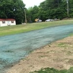
HYDRO SEEDING OF A LAWN PACH
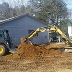
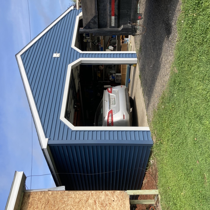
EXCAVATION OF A GARAGE SLAB
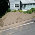
HILL SIDE LAWN
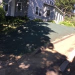
AFTER THE HYDRO SEED WAS SPRAYED OUT
Response time1 day
Recommended by100%of homeowners

...
Showing 1-10 of 65
Land Clearing Services questions, answered by experts

A land survey includes the layout of a single property, including precise measurements and to-scale drawings of boundary lines, land improvements, and sometimes other features, like topography and drainage information. A plat map includes the layouts and boundary lines of several adjacent plots and basic structure measurements. Surveys are normally more valuable for homeowners and buyers, and plat maps are for governmental use.
This is fairly rare, but sometimes the local government or a group like a historical society will label a tree as a landmark, or historical item. These designations almost always come with a small, on-site plaque for identification, but you should also be able to look up protected trees in your area on a city website or similar list. If the tree in question is a landmark, call your local government and ask how to proceed before making any plans.

Prior to excavation, you should prepare the dig site and call 311 before you sign anything.

To get your site ready for excavation, you should move anything in the area that isn’t affixed to the land. You can save money on the excavation by removing hardscaping, including walkways, decks, concrete patios, and paver patios.

Before you carry out any digging, you should call 311 to confirm that there are no utility lines running through your excavation site. Skipping this step could lead to severe injury and property damage if your excavator hits a water, sewage, or gas line.

Land survey reports have a boatload of information relevant to several scenarios. Here are the types of information contained with a survey, though it depends on your chosen type of land survey. Exact boundaries and dimensions of a given property General topography, including both natural and artificial landmarks Location of utility fixtures, like water mains Confirmation of any easements or encroachments on a piece of property Assessment of land elevation to buy flood insurance Updated information to add to a pre-existing property map

The small lines on the tape measure either indicate inches, fractions of an inch, or centimeters and millimeters. On the imperial unit side (aka the inches side), the longest lines indicate inches, followed by the next shortest lines that indicate a half-inch, and then the quarter, eighth, and sixteenth-inch. On the metric side, the lines break down meters, centimeters, and millimeters.

The Readfield, ME homeowners’ guide to land clearing services

From average costs to expert advice, get all the answers you need to get your job done.