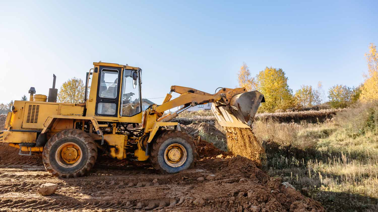









Top-rated land clearing pros.

Best land clearing pros near Norton, MA

Enter your zip and get matched with up to 5 pros

Need a pro for your land clearing project in Norton, MA?

Select your specific project to find the pro for you.

TRUSTED BY NORTON, MA HOMEOWNERS

  • Average homeowner rating star icon4.4
    Average homeowner rating
  • Verified reviews icon747
    Verified land clearing services reviews

Top-Rated Land clearing pros in Norton - Updated Nov 2026

Avatar for Coulstring construction Inc
Coulstring construction Inc
5.0(
3
)
Building Site - Preparation and ClearingBuilding Site - Preparation and Clearing - For Business

Serving Norton, MA and surrounding areas

Approved

In business since 2023

Free estimates

Emergency services offered

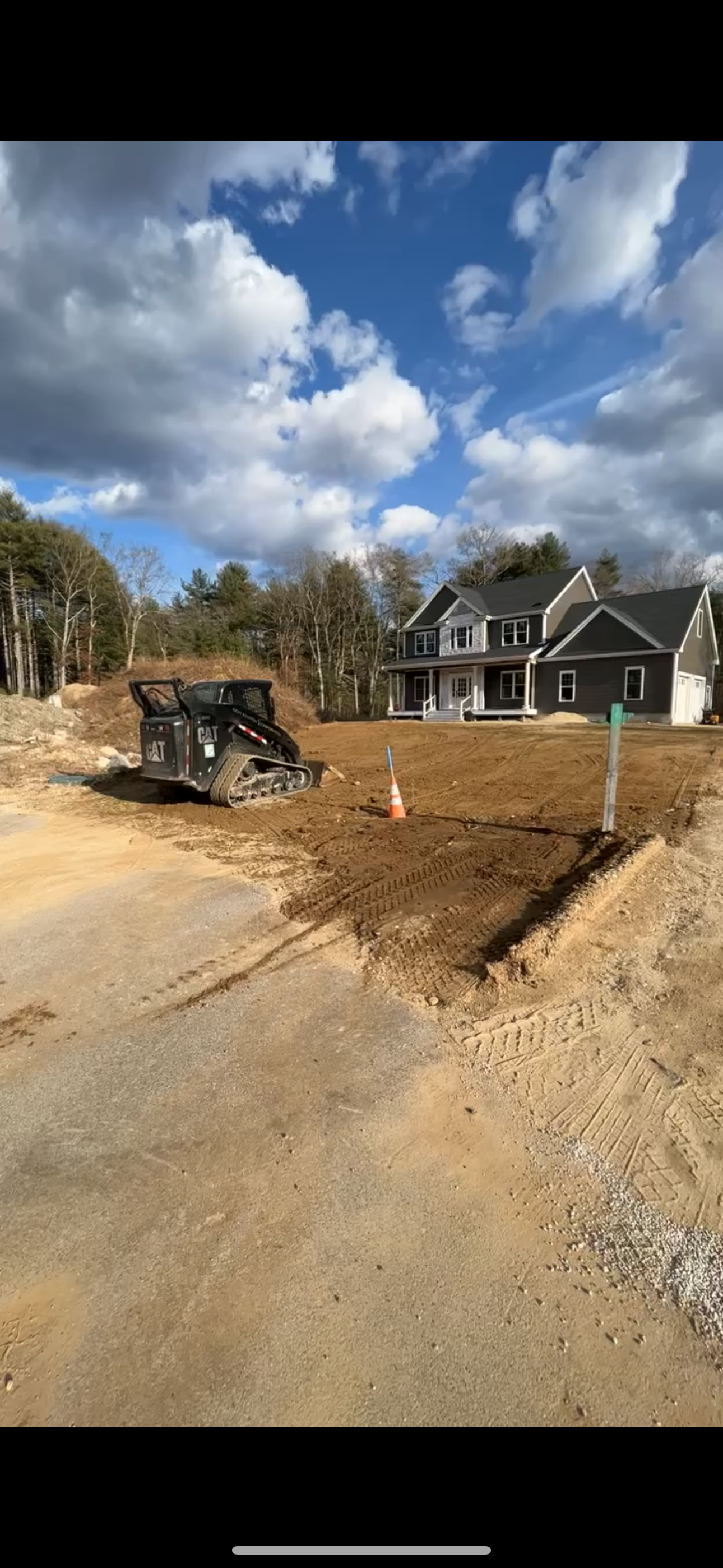
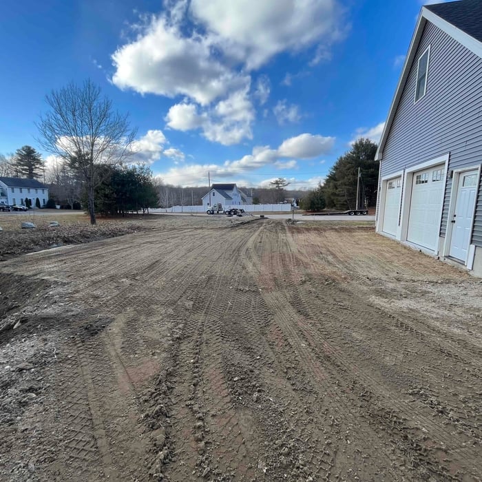
"Cameron showed up right on time, measured and marked off the site and went to work. Excavated the site, spread and leveled 5 yards of 3/4? stone. The Reeds Ferry foreman complimented Cameron?s work. I have more work to do and Cam and his excavator can do the heavy lifting. Highly recommend Cameron."
Excavation Site
Driveway and yard grading

+9

Solimini Excavation and Utility
New to Angi
Building Site - Preparation and ClearingBuilding Site - Preparation and Clearing - For Business

Serving Norton, MA and surrounding areas

Approved

In business since 2014

Free estimates

Offers commercial services

We are dedicated to providing our clients with the very best in excavation and building site services. We specialize in residential and commercial services and take pride in the attention to detail put into each of the projects we're involved with. We're known for our quality work and the integrity of our business. We look forward to building long-term relationships with our clients, and guarantee your satisfaction.

...
Showing 1-10 of 127
Land Clearing Services FAQs, answered by experts

If you can’t find any records online, you’ll need to contact your county clerk’s office to do further research. They should have property records on file, or can at least point you in the right direction of who to contact. You can also speak with your neighbors about when their houses were built because they were likely built around the same time.

Land surveys don’t technically expire. They do serve as a point of reference and a snapshot of your property, though, so as soon as you make changes to your property (and even if your neighbor makes certain changes to theirs), your existing land survey becomes inaccurate, and a new one must be done. Even if you don’t make any changes to your property, many states only guarantee the accuracy of a land survey for five to ten years.

A few different types of land surveys can help determine certain features and boundaries of your property. These include:

  • Boundary surveys describe the actual borders of a property. These are generally required when trying to get construction permits issued. 

  • Location surveys provide much of the same information as a boundary survey but also include in-depth information about any improvements made to your property. 

  • Mortgage location surveys are usually required by lenders and title companies before financing or offering an insurance policy. 

  • Site-planning surveys are done before applying for building permits and can be issued before any major home improvements. 

  • Topographic surveys provide a formal map of land elevations. It can also describe the location and size of natural features and any land improvements.

With proper training and experience, reading blueprints is fairly straightforward and not very difficult. If you don’t have the necessary knowledge to interpret the symbols, abbreviations, and other notations used, blueprints may not make sense. Learning to read blueprints can help you understand the construction process and keep you more involved and informed when you’re building a house.

A land survey includes the layout of a single property, including precise measurements and to-scale drawings of boundary lines, land improvements, and sometimes other features, like topography and drainage information. A plat map includes the layouts and boundary lines of several adjacent plots and basic structure measurements. Surveys are normally more valuable for homeowners and buyers, and plat maps are for governmental use.

The Norton, MA homeowners’ guide to land clearing services

From average costs to expert advice, get all the answers you need to get your job done.