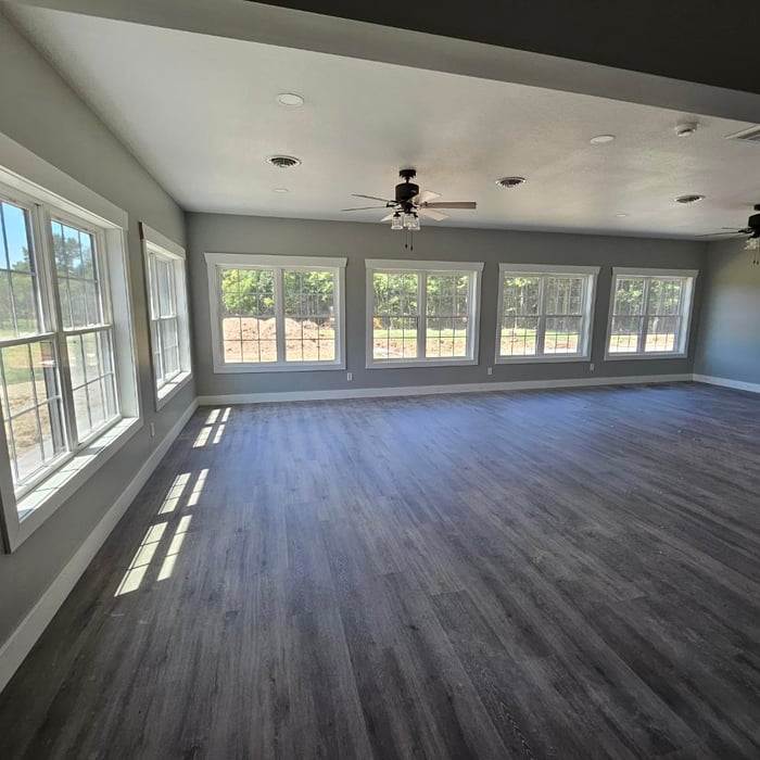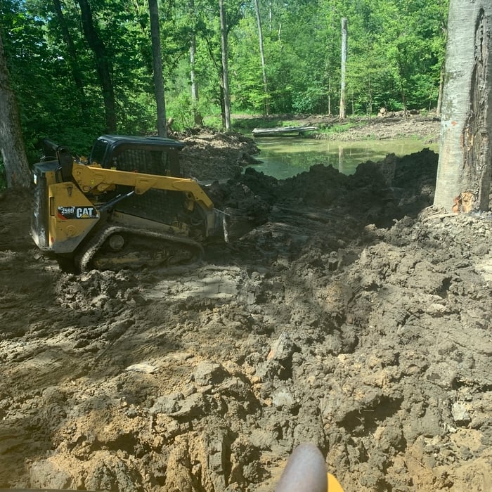







Top-rated land clearing pros.

Get matched with top land clearing pros in Dunkirk, IN

Enter your zip and get matched with up to 5 pros

Need a pro for your land clearing project in Dunkirk, IN?

Select your specific project to find the pro for you.

TRUSTED BY DUNKIRK, IN HOMEOWNERS

  • Average homeowner rating star icon4.5
    Average homeowner rating
  • Verified reviews icon35
    Verified land clearing services reviews

Find Land clearing pros in Dunkirk

Avatar for Bales Construction
Bales Construction
5.0(
5
)
Building Site - Preparation and Clearing

Serving Dunkirk, IN and surrounding areas

In business since 2016

Free estimates

Credit card accepted

"Bales Construction did an amazing job with our home renovation. We live in an old farmhouse that needed major renovation through the entire home. Even with the challenges of an old home, they did a great job on everything. Our contractor, Jake and his team, transformed our house into a home. They added a bathroom upstairs and reconfigured the entire floor, remodeled the dining room, kitchen, half bath, mudroom/laundry room, and master suite shower, added a pantry, and relocated our back door to make better use of our space. I recommend them for any project you have on your wish list!"
Response time10 mins
Showing 1-10 of 39
Land Clearing Services questions, answered by experts

A boundary survey measures the boundary lines of the property, only the length of each property line and their locations. A land survey includes a more in-depth measurement of the property, including the heights and depths of the terrain measured by a topographic survey. A boundary survey is typically the most cost-effective method for marking and measuring property lines.

Property lines, building locations, and potential encroachments are mapped.

Land survey reports have a boatload of information relevant to several scenarios. Here are the types of information contained with a survey, though it depends on your chosen type of land survey. Exact boundaries and dimensions of a given property General topography, including both natural and artificial landmarks Location of utility fixtures, like water mains Confirmation of any easements or encroachments on a piece of property Assessment of land elevation to buy flood insurance Updated information to add to a pre-existing property map

A land survey defines and records the physical aspects of a property, including its boundaries, dimensions, easements, features, and sometimes topographical information. In contrast, a land appraisal determines the property's monetary value. While an appraiser will often consult a land survey to understand the property's physical specifications, the survey itself does not determine the land's value.

A land survey includes the layout of a single property, including precise measurements and to-scale drawings of boundary lines, land improvements, and sometimes other features, like topography and drainage information. A plat map includes the layouts and boundary lines of several adjacent plots and basic structure measurements. Surveys are normally more valuable for homeowners and buyers, and plat maps are for governmental use.

The Dunkirk, IN homeowners’ guide to land clearing services

From average costs to expert advice, get all the answers you need to get your job done.