
Get matched with top land surveyors in Vacaville, CA
Enter your ZIP and get matched with up to 5 pros
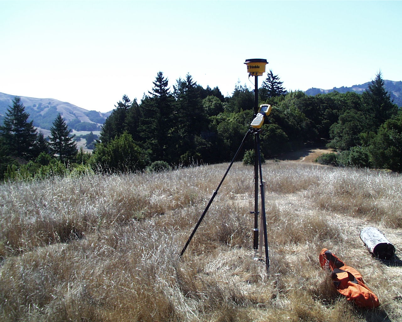
Need a pro for your land surveying project in Vacaville, CA?
Select your specific project to find the pro for you.
Find Land surveyors in Vacaville
Ocommerce Consulting Services
Ocommerce Consulting Services
15 years of experience
We help existing businesses, to take there store into the Ecommerce world online. This generate additional revenue stream. We also help you to start your own business from scratch. From the legal aspect, as well as consulting on how to get started.
We help existing businesses, to take there store into the Ecommerce world online. This generate additional revenue stream. We also help you to start your own business from scratch. From the legal aspect, as well as consulting on how to get started.
Mehlhop & Vogt Law Offices
Mehlhop & Vogt Law Offices
Customers say: Quick response
Recommended by 100% of Angi customers
Recommended by 100% of HomeAdvisor customers
Workers Compensation Attorneys - Certified Specialist
Workers Compensation Attorneys - Certified Specialist
Northern California Geomatics
Northern California Geomatics
Free onsite estimate
Land Surveyor in El Dorado County. 10% discount if your project is in Placerville, Diamond Springs, Shingle Springs, Cameron Park, El Dorado Hills or Folsom
Land Surveyor in El Dorado County. 10% discount if your project is in Placerville, Diamond Springs, Shingle Springs, Cameron Park, El Dorado Hills or Folsom
Landcrafters
Landcrafters
49 years of experience
A family owned and operated landscape construction business serving the Greater-Sacramento area since 1976. From large commercial projects to residential designs - "We can dig it!"
A family owned and operated landscape construction business serving the Greater-Sacramento area since 1976. From large commercial projects to residential designs - "We can dig it!"
Mathis Land Surveying
Mathis Land Surveying
Mathis Land Surveying perform a variety of vital tasks such as land surveys, boundary surveys, topographic mapping, subdivisions, record of surveys, easements and legal descriptions, parcel maps, lot line adjustments, and construction staking. We serve in Cool, CA, Auburn, CA and the surrounding areas. Land Surveyor, Surveying, Surveyors, Land Surveying Contractor, Surveying & Mapping Service Land Surveying Service, Mapping Service, Subdivisions, Boundary Surveys, Topographic Mapping For more information visit our website: https://mathislandsurveying.com/ We also accept the following payment methods: Cash, Visa, Mastercard, Debit Card
Mathis Land Surveying perform a variety of vital tasks such as land surveys, boundary surveys, topographic mapping, subdivisions, record of surveys, easements and legal descriptions, parcel maps, lot line adjustments, and construction staking. We serve in Cool, CA, Auburn, CA and the surrounding areas. Land Surveyor, Surveying, Surveyors, Land Surveying Contractor, Surveying & Mapping Service Land Surveying Service, Mapping Service, Subdivisions, Boundary Surveys, Topographic Mapping For more information visit our website: https://mathislandsurveying.com/ We also accept the following payment methods: Cash, Visa, Mastercard, Debit Card
BASE Design & Drafting
BASE Design & Drafting
All major credit cards via PayPal accepted
All major credit cards via PayPal accepted
Oberkamper & Associates
Oberkamper & Associates
64 years of experience
We offer Land Surveying services including: SB9 Lot Splits, FEMA Elevations Certs, Boundary Surveys, Topographic Surveys, Construction Staking and more! Give us a call or email and we can take care of your building needs.
We offer Land Surveying services including: SB9 Lot Splits, FEMA Elevations Certs, Boundary Surveys, Topographic Surveys, Construction Staking and more! Give us a call or email and we can take care of your building needs.
Klima Land Surveys
Klima Land Surveys
16 years of experience
Kristopher Klima P.L.S 8602 916.416.6338 [email protected] Extensive technical education and a lengthy, diverse career in the Land Surveying profession has given me an unparalleled expertise. Working in both Private and Public sectors has given me a unique skill set and prepared me for a wide breadth of projects ... including yours. Using the latest field equipment and office software – from GPS to GIS – residential, environmental and commercial surveys are successfully and swiftly accomplished with the most advanced technology. From conception to completion, my main focus remains quality of product and outstanding client experience. Welcome to Klima Land Surveys, I look forward to working with you.
Kristopher Klima P.L.S 8602 916.416.6338 [email protected] Extensive technical education and a lengthy, diverse career in the Land Surveying profession has given me an unparalleled expertise. Working in both Private and Public sectors has given me a unique skill set and prepared me for a wide breadth of projects ... including yours. Using the latest field equipment and office software – from GPS to GIS – residential, environmental and commercial surveys are successfully and swiftly accomplished with the most advanced technology. From conception to completion, my main focus remains quality of product and outstanding client experience. Welcome to Klima Land Surveys, I look forward to working with you.
Fullen Surveying & Mapping,Inc.
Fullen Surveying & Mapping,Inc.
19 years of experience
We provide all aspects of Land Surveying for both commercial and residential customers.
We provide all aspects of Land Surveying for both commercial and residential customers.
Geometric Land Surveyors
Geometric Land Surveyors
Free onsite estimate
GLS provides land surveying services to the entire state of California. We offer economical rates and services tailored to meet the needs of our clients.
GLS provides land surveying services to the entire state of California. We offer economical rates and services tailored to meet the needs of our clients.
Land Surveying questions, answered by experts
The Vacaville, CA homeowners’ guide to land surveying services
From average costs to expert advice, get all the answers you need to get your job done.
 •
•Discover site preparation cost estimates, including average prices, cost factors, and tips to help homeowners budget for their next project.

A land survey can determine your property’s borders and settle property disputes. Learn how much a land survey costs and what can affect the price.

Just bought a plot of land and need to get it build-ready? Learn how much it costs to clear land to gauge your initial budget before you break ground.

A land surveyor can perform a land survey and help clarify your property boundaries and features. Use this guide to find the right professional.

What is a property line? Find out everything you need to know about property lines, from easements to where to build a fence and how land surveys work.

Knowing where your property lines are can help settle a dispute with a neighbor and even prevent an ugly legal battle. This guide will help you draw the line.
- Suisun City, CA Land surveyors
- Fairfield, CA Land surveyors
- Dixon, CA Land surveyors
- Winters, CA Land surveyors
- Davis, CA Land surveyors
- Napa, CA Land surveyors
- Rio Vista, CA Land surveyors
- American Canyon, CA Land surveyors
- Yountville, CA Land surveyors
- Vallejo, CA Land surveyors
- Benicia, CA Land surveyors
- Walnut Grove, CA Land surveyors
- Pittsburg, CA Land surveyors
- Bay Point, CA Land surveyors
- Clarksburg, CA Land surveyors
- Esparto, CA Land surveyors
- Isleton, CA Land surveyors
- Crockett, CA Land surveyors
- Woodland, CA Land surveyors
- Antioch, CA Land surveyors
- West Sacramento, CA Land surveyors
- Martinez, CA Land surveyors
- Pacheco, CA Land surveyors
- Moraga, CA Land surveyors
- Sonoma, CA Land surveyors
- Rodeo, CA Land surveyors
- Boyes Hot Springs, CA Land surveyors
- Saint Helena, CA Land surveyors
- Oakley, CA Land surveyors
- Bethel Island, CA Land surveyors
What do you need done? We’ll find top pros.
- 🌱 "Mow a small front yard"
- 🛠 "Fix a leaking pipe under the sink"
- 🏠 "Repair shingles on an asphalt roof"