Get matched with top land surveyors in Tehachapi, CA
Enter your zip and get matched with up to 5 pros
Need a pro for your land surveying project in Tehachapi, CA?
Verified Reviews for Land Surveying pros in Tehachapi, CA
*The Angi rating for Land Surveying companies in Tehachapi, CA is a rating based on verified reviews from our community of homeowners who have used these pros to meet their Land Surveying needs.
*The HomeAdvisor rating for Land Surveying companies in Tehachapi, CA is a rating based on verified reviews from our community of homeowners who have used these pros to meet their Land Surveying needs.
Last update on January 21, 2026
Find Land surveyors in Tehachapi

Art Kearin Surveying
Art Kearin Surveying
At Art Kearin Surveying, we treat you like family, we have over 30 years of experience. We strive to meet your needs and leave you 100% satisfied. We look forward to working with you, call us for an estimate. Art Kearin Survey provides an extensive range of land surveying services using conventional or GPS methodology. Our state-of-the-art computer technology enables us to provide our field crews with complete office support to facilitate and expedite field procedures quickly and accurately. The surveyors provide cutting edge solutions to solve both private and public sector industry needs. With over 30 years surveying in the Antelope Valley & Los Angeles County our surveyors have helped with the construction of bridges, communication towers, baseball stadiums, hotels, shopping centers, commercial and residential subdivisions, Golf courses and MOST RECENTLY A SOLAR FIELD for E-solar and Alion Energy.
"No comments"
Shane C on January 2025
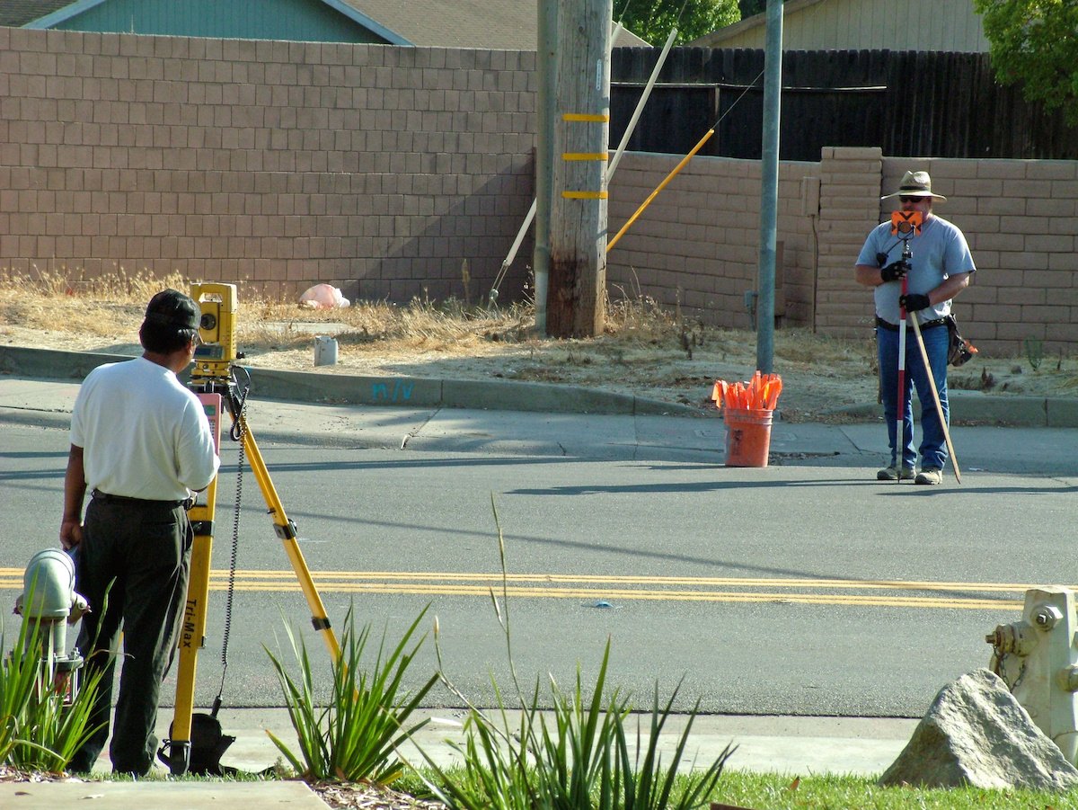
California Engineering & Surveying Inc
California Engineering & Surveying Inc
Land Surveying, Land Development, ALTA Survey, ADU Survey, Civil Engineering, Tentative Maps, Parcel Maps, Tract Maps, Lot Line Adjustments, Elevation Certifications, SWPPP, Stormwater, Street Plans, Sewer Plans, Site Plans, Water Plans, Improvement Plans, Utility Plans, Grading Plans
"We had been looking for someone for weeks. Larry responded to my inquiry within 24 hours and was able to help us with the land survey in less than a week. Very pleased with his quick response. I will definitely recommend him to friends and family."
Leticia G on April 2024
Wounded Warrior Surveying
Wounded Warrior Surveying
Wounded Warrior Surveying, is committed to excellence and continues to be an outstanding business in the Murrieta, CA area. Wounded Warrior Surveying, prides itself on an outstanding record of quality service. Our longevity is a testament to the level of service and quality you will get when you choose Wounded Warrior Surveying, for your land surveying needs. We are excited that you have expressed an interest in our services and we look forward to working with you.
"thanks again for your help in this matter would be speaking with you about my friend is coming over to watch the game last night so I can get my hands on your hips and I will be in the"
Michael Ryan S on December 2019

JS HOME INSPECTORS-Fresno
JS HOME INSPECTORS-Fresno
We are the only Company in the San Joaquin Valley that can provide HOME INSPECTIONS and certified by ASHI CREIA .and ACIA/RCI Costumers can pay by Visa, MasterCard, Checks, and Cash. Inspections range from $350.00 to $850.00 depending on the extent of the Inspections requested (ie FHA Loans, Size of the Home, apartments, duplexes , and commercial buildings.Reports are available the same day if needed additional cost may be included.We also perform , Civil Engineering and Construction Consulting. Additional website: www.fresnocahomeinspector.com.
We are the only Company in the San Joaquin Valley that can provide HOME INSPECTIONS and certified by ASHI CREIA .and ACIA/RCI Costumers can pay by Visa, MasterCard, Checks, and Cash. Inspections range from $350.00 to $850.00 depending on the extent of the Inspections requested (ie FHA Loans, Size of the Home, apartments, duplexes , and commercial buildings.Reports are available the same day if needed additional cost may be included.We also perform , Civil Engineering and Construction Consulting. Additional website: www.fresnocahomeinspector.com.
Superior Surveying Services Inc
Superior Surveying Services Inc
Since 1988 Superior Surveying Services, Inc. has been professionally land surveying across the Southwest. Additional DBA - Superior Surveying SVC Inc.
Since 1988 Superior Surveying Services, Inc. has been professionally land surveying across the Southwest. Additional DBA - Superior Surveying SVC Inc.

Mashiach Exploration LLC
Mashiach Exploration LLC
Mashiach Exploration LLC is committed to our clients success. Our over 30 years of experience will lead your project needs from Permitting, Surveying, Planning, Engineering, Geological investigations, Modeling, Quality control, to Reclamation.
Mashiach Exploration LLC is committed to our clients success. Our over 30 years of experience will lead your project needs from Permitting, Surveying, Planning, Engineering, Geological investigations, Modeling, Quality control, to Reclamation.
CHALLMAN ENGINEERING INC
CHALLMAN ENGINEERING INC
Since 2005. 2-5 employees.
Since 2005. 2-5 employees.
LaserTech 3D Scanning
LaserTech 3D Scanning
Experience the future of surveying with LaserTech! No more waiting for weeks or months to get your survey maps. We take pride in our lightning-fast turnaround time, get your maps in just days, not weeks! Precision meets speed at LaserTech, where cutting-edge technology ensures accuracy without the long wait. Elevate your projects with the quickest and most efficient surveying services. Your timelines matter to us, and at LaserTech, we're redefining speed in the surveying industry. Contact us today for swift, accurate, and hassle-free survey maps!
Experience the future of surveying with LaserTech! No more waiting for weeks or months to get your survey maps. We take pride in our lightning-fast turnaround time, get your maps in just days, not weeks! Precision meets speed at LaserTech, where cutting-edge technology ensures accuracy without the long wait. Elevate your projects with the quickest and most efficient surveying services. Your timelines matter to us, and at LaserTech, we're redefining speed in the surveying industry. Contact us today for swift, accurate, and hassle-free survey maps!
Southwest Surveying, Inc.
Southwest Surveying, Inc.
Contact Southwest Surveying, Inc. in Joshua Tree, CA, to hire land surveying and mapping technology services.
Contact Southwest Surveying, Inc. in Joshua Tree, CA, to hire land surveying and mapping technology services.

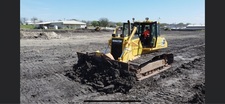
On grade excavation
On grade excavation
Specializing in soils excavation and grading. Overexcavations, trenching, grading, clearing, haul offs, road building and maintenance, landscaping, and more.
Specializing in soils excavation and grading. Overexcavations, trenching, grading, clearing, haul offs, road building and maintenance, landscaping, and more.
The Tehachapi, CA homeowners’ guide to land surveying services
From average costs to expert advice, get all the answers you need to get your job done.
 •
•Just bought a plot of land and need to get it build-ready? Learn how much it costs to clear land to gauge your initial budget before you break ground.

A land survey can determine your property’s borders and settle property disputes. Learn how much a land survey costs and what can affect the price.

Discover site preparation cost estimates, including average prices, cost factors, and tips to help homeowners budget for their next project.

A land surveyor can perform a land survey and help clarify your property boundaries and features. Use this guide to find the right professional.

Not sure what kind of property survey you need? Learn about the differences between a land survey vs. a boundary survey to get started.

Boundary surveys and topographic surveys provide important information about a property. Learn the differences between boundary and topographic surveys.
- Arvin, CA Land surveyors
- Rosamond, CA Land surveyors
- Mojave, CA Land surveyors
- Lamont, CA Land surveyors
- California City, CA Land surveyors
- Del Sur, CA Land surveyors
- Lebec, CA Land surveyors
- Bodfish, CA Land surveyors
- Lake Hughes, CA Land surveyors
- Quartz Hill, CA Land surveyors
- Lake Isabella, CA Land surveyors
- Edwards, CA Land surveyors
- Lancaster, CA Land surveyors
- Weldon, CA Land surveyors
- Bakersfield, CA Land surveyors
- Frazier Park, CA Land surveyors
- Hi Vista, CA Land surveyors
- Wofford Heights, CA Land surveyors
- Kernville, CA Land surveyors
- Saugus, CA Land surveyors
- Agua Dulce, CA Land surveyors
- Lake Los Angeles, CA Land surveyors
- Castaic, CA Land surveyors
- Palmdale, CA Land surveyors
- Canyon Country, CA Land surveyors
- Acton, CA Land surveyors
- Valencia, CA Land surveyors
- Boron, CA Land surveyors
- Santa Clarita, CA Land surveyors
- Shafter, CA Land surveyors
- 🌱 "Mow a small front yard"
- 🛠 "Fix a leaking pipe under the sink"
- 🏠 "Repair shingles on an asphalt roof"
