Get matched with top land surveyors in Acton, CA
Enter your ZIP and get matched with up to 5 pros
Need a pro for your land surveying project in Acton, CA?
Find Land surveyors in Acton

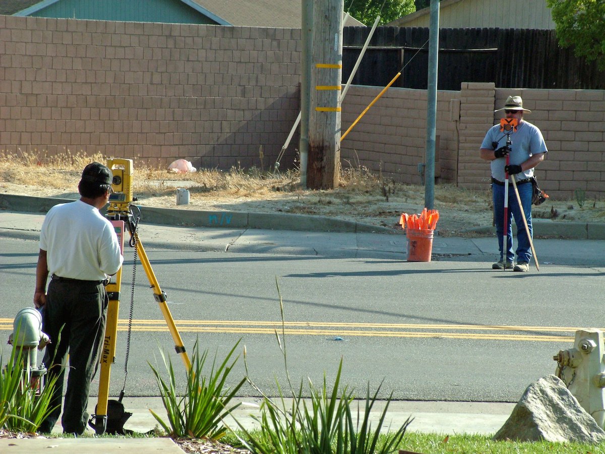
California Engineering & Surveying Inc
California Engineering & Surveying Inc
Land Surveying, Land Development, ALTA Survey, ADU Survey, Civil Engineering, Tentative Maps, Parcel Maps, Tract Maps, Lot Line Adjustments, Elevation Certifications, SWPPP, Stormwater, Street Plans, Sewer Plans, Site Plans, Water Plans, Improvement Plans, Utility Plans, Grading Plans
"We had been looking for someone for weeks. Larry responded to my inquiry within 24 hours and was able to help us with the land survey in less than a week. Very pleased with his quick response. I will definitely recommend him to friends and family."
Leticia G on April 2024

LaserTech 3D Scanning
LaserTech 3D Scanning
Experience the future of surveying with LaserTech! No more waiting for weeks or months to get your survey maps. We take pride in our lightning-fast turnaround time, get your maps in just days, not weeks! Precision meets speed at LaserTech, where cutting-edge technology ensures accuracy without the long wait. Elevate your projects with the quickest and most efficient surveying services. Your timelines matter to us, and at LaserTech, we're redefining speed in the surveying industry. Contact us today for swift, accurate, and hassle-free survey maps!
Experience the future of surveying with LaserTech! No more waiting for weeks or months to get your survey maps. We take pride in our lightning-fast turnaround time, get your maps in just days, not weeks! Precision meets speed at LaserTech, where cutting-edge technology ensures accuracy without the long wait. Elevate your projects with the quickest and most efficient surveying services. Your timelines matter to us, and at LaserTech, we're redefining speed in the surveying industry. Contact us today for swift, accurate, and hassle-free survey maps!

Gallagher Company
Gallagher Company
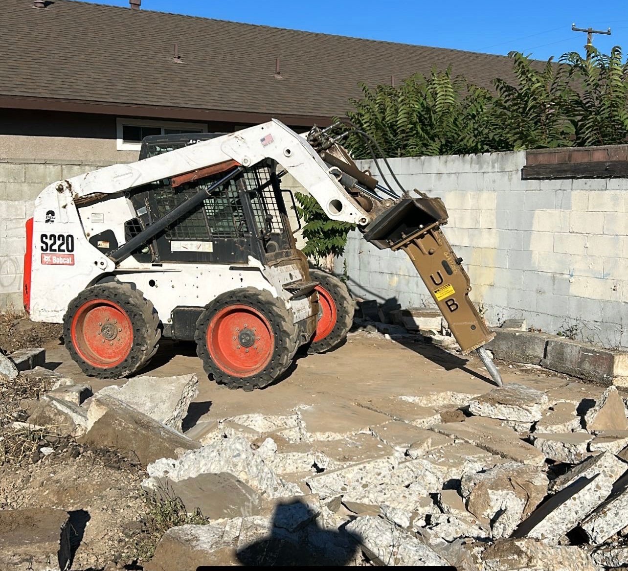
Grading, Excavation, Demolition, Septic Tanks, Underground Utilities, Building Foundations, Retaining Walls, Concrete Driveways, Drainiage Systems, Road Building, Pool Demolition and Excavation, Brush Clearance.
"Gallagher Grading did an excellent job removing 60 tons of landslide debris in two days. All excavation to dig out retaining walls, stairway, a garage and scraping and cleaning mud off my driveway was done with utmost care and no damage was incurred. Edward and his men were professional, prompt, quiet, well-mannered, and responsible. High work ethic coupled with very competitive and transparent pricing makes this company not to miss. No hidden charges, no price inflation. Job was run smoothly and efficiently and all precautions were made, taking the size of the 10 ton load trucks, not to disturb my neighbors here in Bel Air. For all excavation and grading services, I would highly recommend Gallagher Grading."
Linnell B on March 2024
LiDAR America inc
LiDAR America inc
Lidar America Inc, is a company specialized in Aircraft and Drone mapping, providing Lidar and photogrammetry services in aircrafts and UAS (drone). Manned (aircraft) and unmanned (Drone UAV) aerial survey with LiDAR (Light Detection and Ranging) to produce topographic Lidar products and photogrammetry images. We perform, Topographic Lidar, Lidar Aerial, Lidar Survey, Aerial Mapping, Aerial Lidar, Topographic survey, Drone Survey, UAV Survey, Drone Lidar Mapping, Aerial Drone Services, Drone Inspection and drone services in California, South Nevada and West Arizona.
Lidar America Inc, is a company specialized in Aircraft and Drone mapping, providing Lidar and photogrammetry services in aircrafts and UAS (drone). Manned (aircraft) and unmanned (Drone UAV) aerial survey with LiDAR (Light Detection and Ranging) to produce topographic Lidar products and photogrammetry images. We perform, Topographic Lidar, Lidar Aerial, Lidar Survey, Aerial Mapping, Aerial Lidar, Topographic survey, Drone Survey, UAV Survey, Drone Lidar Mapping, Aerial Drone Services, Drone Inspection and drone services in California, South Nevada and West Arizona.

Mashiach Exploration LLC
Mashiach Exploration LLC
Mashiach Exploration LLC is committed to our clients success. Our over 30 years of experience will lead your project needs from Permitting, Surveying, Planning, Engineering, Geological investigations, Modeling, Quality control, to Reclamation.
Mashiach Exploration LLC is committed to our clients success. Our over 30 years of experience will lead your project needs from Permitting, Surveying, Planning, Engineering, Geological investigations, Modeling, Quality control, to Reclamation.
MJRobert Surveying
MJRobert Surveying
Many years of experience and I only work with hand selected professionals.
Many years of experience and I only work with hand selected professionals.
Southwest Surveying, Inc.
Southwest Surveying, Inc.
Contact Southwest Surveying, Inc. in Joshua Tree, CA, to hire land surveying and mapping technology services.
Contact Southwest Surveying, Inc. in Joshua Tree, CA, to hire land surveying and mapping technology services.
M.H CONSTRUCTION
M.H CONSTRUCTION
M.H Construction LICENSE #704920 LICENSED BOND & INSURED COMMERCIAL/RESIDENTIAL REAL ESTATE - TRASH OUT & SALES CLEAN -ROOF CERTIFICATE -FRONT & BACKYARD MAINT. -TERMITE REPAIR -HVAC -ROOFING RESIDENTIAL -ROOM ADDITION -CONCRETE WORK -PATIO/DECK -DRYWALL -TILE -FIRE DAMAGE CUSTOM -OFFICE -CLINIC -CUSTOM HOMES -GARAGE -GUEST ROOM -BATHROOM CONTACT: MANUEL HERRERA *[email protected] *CONTACT: (661) 733-9028 *FAX: (661) 718-2595
M.H Construction LICENSE #704920 LICENSED BOND & INSURED COMMERCIAL/RESIDENTIAL REAL ESTATE - TRASH OUT & SALES CLEAN -ROOF CERTIFICATE -FRONT & BACKYARD MAINT. -TERMITE REPAIR -HVAC -ROOFING RESIDENTIAL -ROOM ADDITION -CONCRETE WORK -PATIO/DECK -DRYWALL -TILE -FIRE DAMAGE CUSTOM -OFFICE -CLINIC -CUSTOM HOMES -GARAGE -GUEST ROOM -BATHROOM CONTACT: MANUEL HERRERA *[email protected] *CONTACT: (661) 733-9028 *FAX: (661) 718-2595
Coast & Valley Land Surveying Inc
Coast & Valley Land Surveying Inc
Licensed by the State of California as Professional Land Surveyor No. 4464 since 1977. Working with general public, realtors, attorneys, civil engineers, architects. Payment due upon receipt of our invoice, by check or cash. Over 5000 clients.
Licensed by the State of California as Professional Land Surveyor No. 4464 since 1977. Working with general public, realtors, attorneys, civil engineers, architects. Payment due upon receipt of our invoice, by check or cash. Over 5000 clients.
CHALLMAN ENGINEERING INC
CHALLMAN ENGINEERING INC
Since 2005. 2-5 employees.
Since 2005. 2-5 employees.
The Acton, CA homeowners’ guide to land surveying services
From average costs to expert advice, get all the answers you need to get your job done.
 •
•Discover site preparation cost estimates, including average prices, cost factors, and tips to help homeowners budget for their next project.

A land survey can determine your property’s borders and settle property disputes. Learn how much a land survey costs and what can affect the price.

Just bought a plot of land and need to get it build-ready? Learn how much it costs to clear land to gauge your initial budget before you break ground.

What is a property line? Find out everything you need to know about property lines, from easements to where to build a fence and how land surveys work.

If you've just been told that you need a land survey to continue your project, what time of land survey do you really need? Here are eight main options.

Knowing where your property lines are can help settle a dispute with a neighbor and even prevent an ugly legal battle. This guide will help you draw the line.
- Palmdale, CA Land surveyors
- Saugus, CA Land surveyors
- Agua Dulce, CA Land surveyors
- Lancaster, CA Land surveyors
- Canyon Country, CA Land surveyors
- Littlerock, CA Land surveyors
- Quartz Hill, CA Land surveyors
- Valencia, CA Land surveyors
- Tujunga, CA Land surveyors
- Sunland, CA Land surveyors
- Lake Los Angeles, CA Land surveyors
- Hi Vista, CA Land surveyors
- Del Sur, CA Land surveyors
- Lake Hughes, CA Land surveyors
- La Crescenta, CA Land surveyors
- Lake View Terrace, CA Land surveyors
- Sylmar, CA Land surveyors
- Santa Clarita, CA Land surveyors
- Verdugo City, CA Land surveyors
- La Canada Flintridge, CA Land surveyors
- Pearblossom, CA Land surveyors
- Pacoima, CA Land surveyors
- Sun Valley, CA Land surveyors
- Mission Hills, CA Land surveyors
- Arleta, CA Land surveyors
- Altadena, CA Land surveyors
- San Fernando, CA Land surveyors
- Newhall, CA Land surveyors
- Glendale, CA Land surveyors
- Stevenson Ranch, CA Land surveyors