






Top-rated land clearing pros.

Get matched with top land clearing pros in Taft, TX

Enter your zip and get matched with up to 5 pros

Need a pro for your land clearing project in Taft, TX?

Select your specific project to find the pro for you.

TRUSTED BY TAFT, TX HOMEOWNERS

  • Average homeowner rating star icon4.7
    Average homeowner rating
  • Verified reviews icon87
    Verified land clearing services reviews

Find Land clearing pros in Taft

Avatar for Landers Ranch Services
Landers Ranch Services
5.0(
7
)
Building Site - Preparation and ClearingBuilding Site - Preparation and Clearing - For Business

Serving Taft, TX and surrounding areas

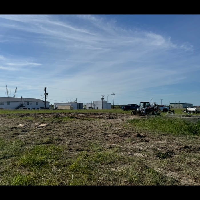
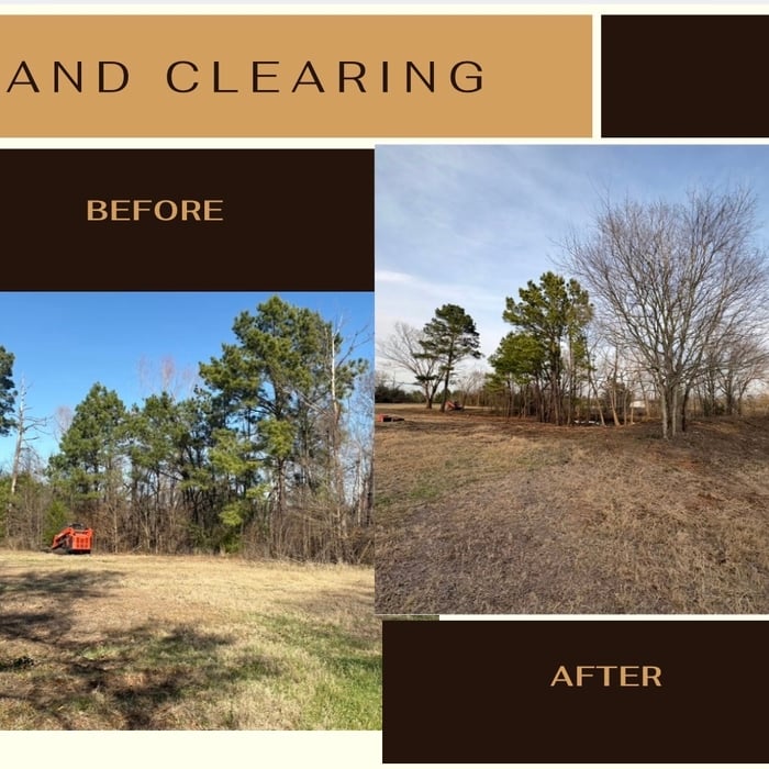
At Landers Ranch Services, we are a reputable excavation company located in Grimes County, TX. Serving the surrounding areas, we pride ourselves on delivering top-notch services to meet all our clients' excavation needs. With our skilled team and state-of-the-art equipment, we ensure efficient and reliable results for every project.

Bulkhead
Bulkhead
Bulkhead
Land clearing
Land clearing

+10

Recommended by14%of homeowners
...
Showing 1-10 of 62
Land Clearing Services questions, answered by experts

Surveys completed by licensed surveyors can be recorded with a local surveying records office, and in most cases, they will be. Filing survey reports categorize them as legal documents, and they can be used whenever legal documentation of your property’s boundaries is needed. While you’re not required to file survey documents, it’s a good idea to do so. 

A few different types of land surveys can help determine certain features and boundaries of your property. These include:

  • Boundary surveys describe the actual borders of a property. These are generally required when trying to get construction permits issued. 

  • Location surveys provide much of the same information as a boundary survey but also include in-depth information about any improvements made to your property. 

  • Mortgage location surveys are usually required by lenders and title companies before financing or offering an insurance policy. 

  • Site-planning surveys are done before applying for building permits and can be issued before any major home improvements. 

  • Topographic surveys provide a formal map of land elevations. It can also describe the location and size of natural features and any land improvements.

The small lines on the tape measure either indicate inches, fractions of an inch, or centimeters and millimeters. On the imperial unit side (aka the inches side), the longest lines indicate inches, followed by the next shortest lines that indicate a half-inch, and then the quarter, eighth, and sixteenth-inch. On the metric side, the lines break down meters, centimeters, and millimeters.

Land survey reports have a boatload of information relevant to several scenarios. Here are the types of information contained with a survey, though it depends on your chosen type of land survey. Exact boundaries and dimensions of a given property General topography, including both natural and artificial landmarks Location of utility fixtures, like water mains Confirmation of any easements or encroachments on a piece of property Assessment of land elevation to buy flood insurance Updated information to add to a pre-existing property map

Professional well contractors may use electromagnetic mapping to look for places with a high likelihood of water. Water access can vary significantly, even on the same property, so it can be difficult to know where to drill if you don’t have specialized tools to look for water.

The Taft, TX homeowners’ guide to land clearing services

From average costs to expert advice, get all the answers you need to get your job done.