


Top-rated land clearing pros.

Best land clearing pros near Odem, TX

Enter your zip and get matched with up to 5 pros

Need a pro for your land clearing project in Odem, TX?

Select your specific project to find the pro for you.

TRUSTED BY ODEM, TX HOMEOWNERS

  • Average homeowner rating star icon4.5
    Average homeowner rating
  • Verified reviews icon147
    Verified land clearing services reviews

Top-Rated Land clearing pros in Odem - Updated Nov 2026

Avatar for Landers Ranch Services
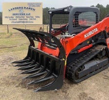
Landers Ranch Services
5.0(
7
)
Building Site - Preparation and ClearingBuilding Site - Preparation and Clearing - For Business

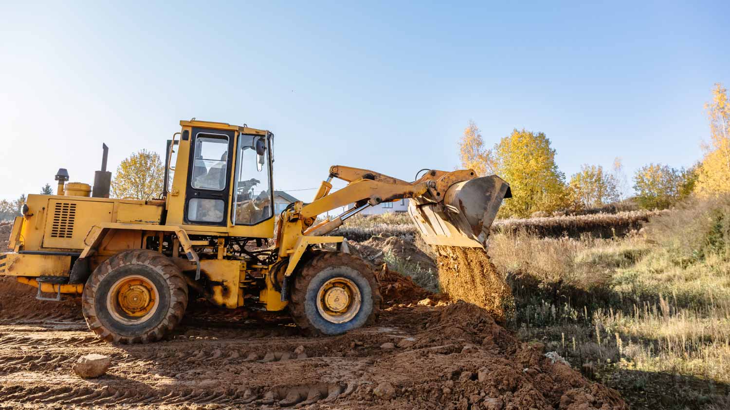
Serving Odem, TX and surrounding areas

At Landers Ranch Services, we are a reputable excavation company located in Grimes County, TX. Serving the surrounding areas, we pride ourselves on delivering top-notch services to meet all our clients' excavation needs. With our skilled team and state-of-the-art equipment, we ensure efficient and reliable results for every project.

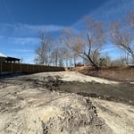
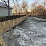
Bulkhead
Bulkhead
Bulkhead
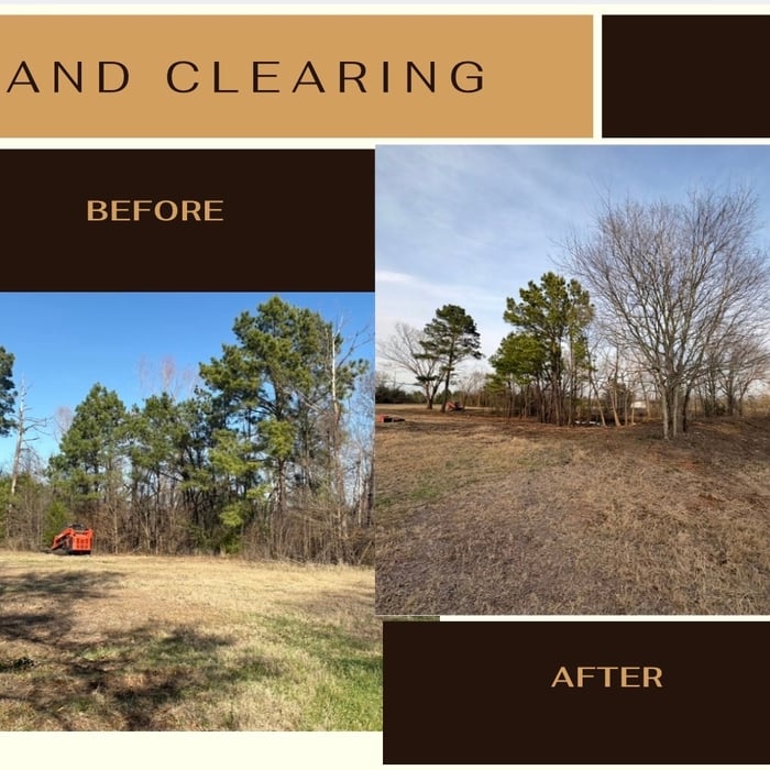
Land clearing
Land clearing

+10

Recommended by14%of homeowners
...
Showing 1-10 of 59
Land Clearing Services FAQs, answered by experts

Land survey reports have a boatload of information relevant to several scenarios. Here are the types of information contained with a survey, though it depends on your chosen type of land survey. Exact boundaries and dimensions of a given property General topography, including both natural and artificial landmarks Location of utility fixtures, like water mains Confirmation of any easements or encroachments on a piece of property Assessment of land elevation to buy flood insurance Updated information to add to a pre-existing property map

Land surveys don’t technically expire. They do serve as a point of reference and a snapshot of your property, though, so as soon as you make changes to your property (and even if your neighbor makes certain changes to theirs), your existing land survey becomes inaccurate, and a new one must be done. Even if you don’t make any changes to your property, many states only guarantee the accuracy of a land survey for five to ten years.

There are a couple of ways you can determine the depth of your well. One method is to use a device called a well sounder. This tool has a long measuring tape containing a sensor to alert you once the end reaches the water. 

Or you can DIY it by using a long tape measure with a half-filled bottle of water attached to it. Lower the tape measure into your well. Once you feel tension on the tape, you’ll know the bottle has reached your static water level. This will give you an approximate idea of your well’s depth.

Surveys completed by licensed surveyors can be recorded with a local surveying records office, and in most cases, they will be. Filing survey reports categorize them as legal documents, and they can be used whenever legal documentation of your property’s boundaries is needed. While you’re not required to file survey documents, it’s a good idea to do so. 

The small lines on the tape measure either indicate inches, fractions of an inch, or centimeters and millimeters. On the imperial unit side (aka the inches side), the longest lines indicate inches, followed by the next shortest lines that indicate a half-inch, and then the quarter, eighth, and sixteenth-inch. On the metric side, the lines break down meters, centimeters, and millimeters.

The Odem, TX homeowners’ guide to land clearing services

From average costs to expert advice, get all the answers you need to get your job done.