Get matched with top land surveyors in Needmore, PA
Enter your zip and get matched with up to 5 pros
Need a pro for your land surveying project in Needmore, PA?
TRUSTED BY NEEDMORE, PA HOMEOWNERS
4.1
Average homeowner rating11
Verified land surveying services reviews
Verified Reviews for Land Surveying pros in Needmore, PA
*The Angi rating for Land Surveying companies in Needmore, PA is a rating based on verified reviews from our community of homeowners who have used these pros to meet their Land Surveying needs.
*The HomeAdvisor rating for Land Surveying companies in Needmore, PA is a rating based on verified reviews from our community of homeowners who have used these pros to meet their Land Surveying needs.
Last update on December 01, 2025
Find Land surveyors in Needmore

Diamonds Excavating
Diamonds Excavating
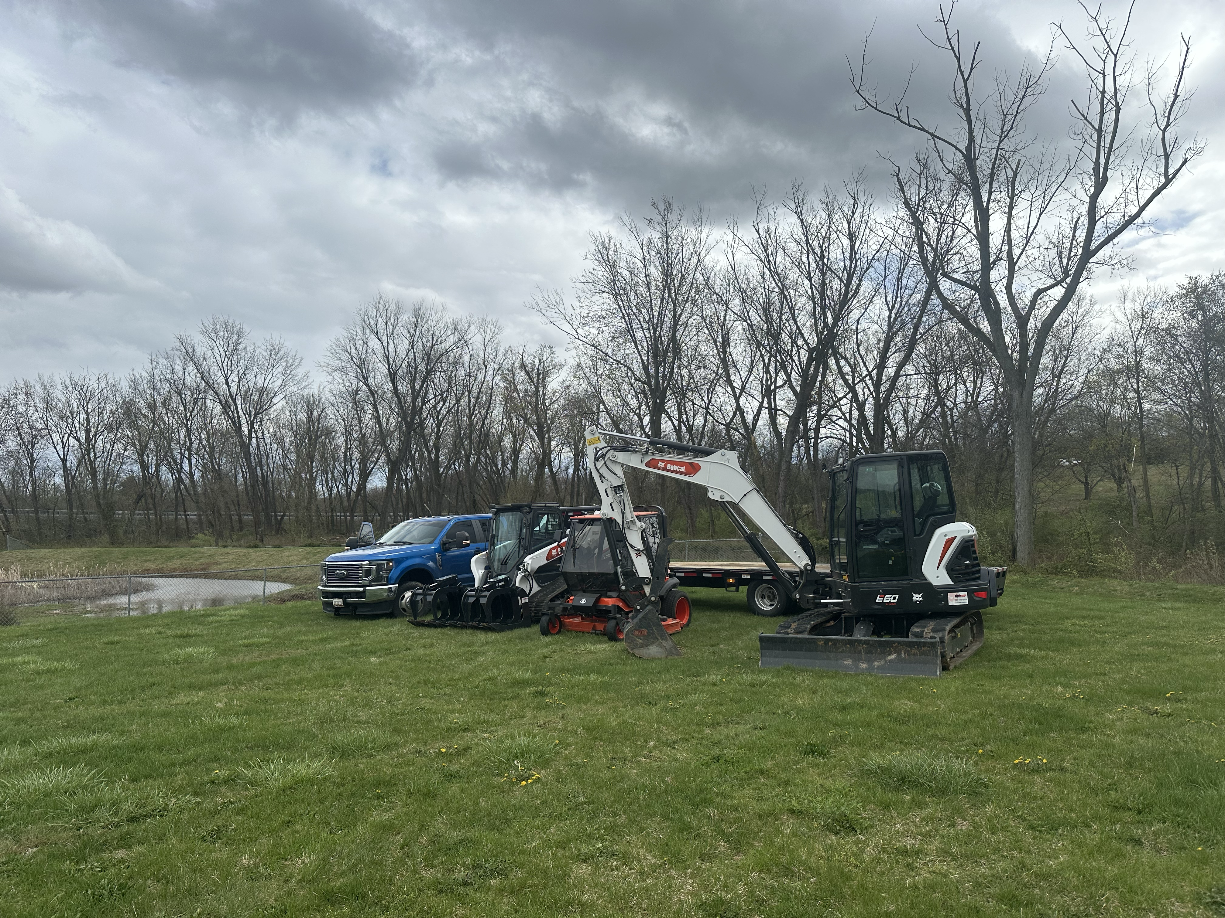
Diamonds Excavating is dedicated to providing professional excavation services for a variety of projects, including residential, commercial, and industrial developments. Unlike the competition, we keep it clean and organized throughout the whole process we only do top quality work. With a team of skilled professionals, we deliver superior results in site preparation, Excavation/landscaping Land Clearing Demolition Driveways/pads Snow removal Grading Tree removal Inground pools Digging for water /electric lines Driveway/roadway removal Junk removal Retaining walls Rock and debris removal/hauling Ditching and drainage And More! Our commitment to safety, efficiency, and quality ensures that every job is completed to the highest standards. Contact us today to discuss your excavation needs and let us help you bring your project to life.
"Very punctual and went over and beyond expectations when encountered the unexpected."
Suman R on May 2024
Kreamer Survery Assoc
Kreamer Survery Assoc
land surveyor company with over 24 years of real experience in the industry.
land surveyor company with over 24 years of real experience in the industry.
Environmental Land Surveying & Solutions
Environmental Land Surveying & Solutions
Environmental Land Surveying and Solutions (ELSS) is a company of professionals dedicated to delivering superior professional engineering, land surveying, and other related services within the Commonwealth of Pennsylvania and neighboring states.
Environmental Land Surveying and Solutions (ELSS) is a company of professionals dedicated to delivering superior professional engineering, land surveying, and other related services within the Commonwealth of Pennsylvania and neighboring states.

DeVon R. Henne Land Surveying and Title Research
DeVon R. Henne Land Surveying and Title Research
Established part-time in 1993, full-time in 1999 and with archived local survey records dating back to the 1970’s we have been providing our clients with quality surveying and design services for over two decades. Throughout our years of experience, we have consistently proven that a carefully prepared plan is foundational to any project. By combining modern field and office technologies with honesty, hard work and experience, DeVon R. Henne, PLS is dedicated to utilizing our resources and abilities to provide the highest quality surveying and design services in the most prompt and efficient manner possible.
Established part-time in 1993, full-time in 1999 and with archived local survey records dating back to the 1970’s we have been providing our clients with quality surveying and design services for over two decades. Throughout our years of experience, we have consistently proven that a carefully prepared plan is foundational to any project. By combining modern field and office technologies with honesty, hard work and experience, DeVon R. Henne, PLS is dedicated to utilizing our resources and abilities to provide the highest quality surveying and design services in the most prompt and efficient manner possible.
Peters Consultants, Inc.
Peters Consultants, Inc.
Peters Consultants, Inc. is a full service consulting engineering/design firm located in Berwick and Bloomsburg Pennsylvania, and has provided professional consulting services in the engineering, environmental and land surveying disciplines to municipal, authorities, commercial, industrial and private clients since 1975. We are a leading provider of engineering services in northeastern Pennsylvania by using sound and practical engineering judgment and skills when evaluating potential projects.
Peters Consultants, Inc. is a full service consulting engineering/design firm located in Berwick and Bloomsburg Pennsylvania, and has provided professional consulting services in the engineering, environmental and land surveying disciplines to municipal, authorities, commercial, industrial and private clients since 1975. We are a leading provider of engineering services in northeastern Pennsylvania by using sound and practical engineering judgment and skills when evaluating potential projects.
G Force Engineering Services, LLC
G Force Engineering Services, LLC
Engineering Services Include: Mine Engineering, Mine permitting, Mine surveying, Civil engineering, Site design, Structural steel & concrete design Municipal plans, Wetland delineation, Storm water management plans, Erosion & sedimentation control plans, Roadway management plans, Water Treatment, Treatment System Management Surveying Services Include: ALTA/ACSM Land Title Surveys, Residential and Commercial Subdivisions, Oil & gas well surveys, Construction surveys, Topographic surveys, Survey grade GPS surveys As built surveys Geologic/Hydrogeological Services Include: Geologic & hydrogeologic studies, Source water analysis, Fracture trace analysis, Core boring analysis, Geophysics evaluation
Engineering Services Include: Mine Engineering, Mine permitting, Mine surveying, Civil engineering, Site design, Structural steel & concrete design Municipal plans, Wetland delineation, Storm water management plans, Erosion & sedimentation control plans, Roadway management plans, Water Treatment, Treatment System Management Surveying Services Include: ALTA/ACSM Land Title Surveys, Residential and Commercial Subdivisions, Oil & gas well surveys, Construction surveys, Topographic surveys, Survey grade GPS surveys As built surveys Geologic/Hydrogeological Services Include: Geologic & hydrogeologic studies, Source water analysis, Fracture trace analysis, Core boring analysis, Geophysics evaluation

Pyramid Land Development Solutions
Pyramid Land Development Solutions
A premier Land Development Solutions company and a commercial residential build and design management company all in one. Celebrating 31 years of increasing success in the highly competitive development industry. We can help make your next venture successful and profitable. Additional DBA - Pyramid Land Development.
A premier Land Development Solutions company and a commercial residential build and design management company all in one. Celebrating 31 years of increasing success in the highly competitive development industry. We can help make your next venture successful and profitable. Additional DBA - Pyramid Land Development.
Renn Engineering, Inc.
Renn Engineering, Inc.
Civil Engineering, Land Surveying and Planning
Civil Engineering, Land Surveying and Planning

David H. Martin Excavating, Inc.
David H. Martin Excavating, Inc.
David H. Martin Excavating, Inc. is a family-owned company that started out in 1968 with one man, a dump truck, and a backhoe. Today we have more than 200 employees, a large fleet of dump trucks and a vast assortment of excavation equipment to take care of all your excavation needs. Let us help you with your next project!
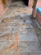
"Fantastic! The crew from David H Martin did a great job restoring our driveway and barn floor."
Tom A on February 2022
The Needmore, PA homeowners’ guide to land surveying services
From average costs to expert advice, get all the answers you need to get your job done.
 •
•Discover site preparation cost estimates, including average prices, cost factors, and tips to help homeowners budget for their next project.

A land survey can determine your property’s borders and settle property disputes. Learn how much a land survey costs and what can affect the price.

Just bought a plot of land and need to get it build-ready? Learn how much it costs to clear land to gauge your initial budget before you break ground.
 •
•Find out how much an elevation certificate costs, including average prices, cost factors, and tips to save money when hiring a surveyor for your property.

Not sure what kind of property survey you need? Learn about the differences between a land survey vs. a boundary survey to get started.

Real estate transactions often require a survey, but who pays for it? Learn who pays for a land survey in most cases and some exceptions to the norm.
- Harrisonville, PA Land surveyors
- Mercersburg, PA Land surveyors
- Charlestown, PA Land surveyors
- Peters, PA Land surveyors
- Warfordsburg, PA Land surveyors
- Mcconnellsburg, PA Land surveyors
- Breezewood, PA Land surveyors
- Metal, PA Land surveyors
- Fort Loudon, PA Land surveyors
- Hancock, MD Land surveyors
- Saint Thomas, PA Land surveyors
- Clear Spring, MD Land surveyors
- Everett, PA Land surveyors
- Three Springs, PA Land surveyors
- Chambersburg, PA Land surveyors
- Hedgesville, WV Land surveyors
- Bath, WV Land surveyors
- Williamsport, MD Land surveyors
- Bedford, PA Land surveyors
- Robinwood, MD Land surveyors
- Saxton, PA Land surveyors
- Hagerstown, MD Land surveyors
- Orbisonia, PA Land surveyors
- Todd, PA Land surveyors


