





Top-rated land clearing pros.

Get matched with top land clearing pros in Apollo, PA

Enter your zip and get matched with up to 5 pros

Need a pro for your land clearing project in Apollo, PA?

Select your specific project to find the pro for you.

TRUSTED BY APOLLO, PA HOMEOWNERS

  • Average homeowner rating star icon4.6
    Average homeowner rating
  • Verified reviews icon386
    Verified land clearing services reviews

Find Land clearing pros in Apollo

Avatar for VP Excavating Services LLC
VP Excavating Services LLC
4.4(
7
)
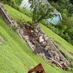
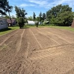
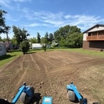
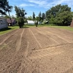
Building Site - Preparation and Clearing

Serving Apollo, PA and surrounding areas

Approved

In business since 2024

Free estimates

Emergency services offered

"VP Excavating did an outstanding job on our property! From start to finish, their preparation and clearing work was done with precision, efficiency, and professionalism. They went above and beyond to make sure everything was done right, and it truly shows. Highly recommend them for anyone needing quality excavation work!"
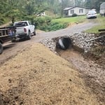
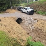
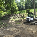
Site prep
Culvert pipe install
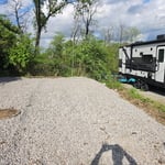
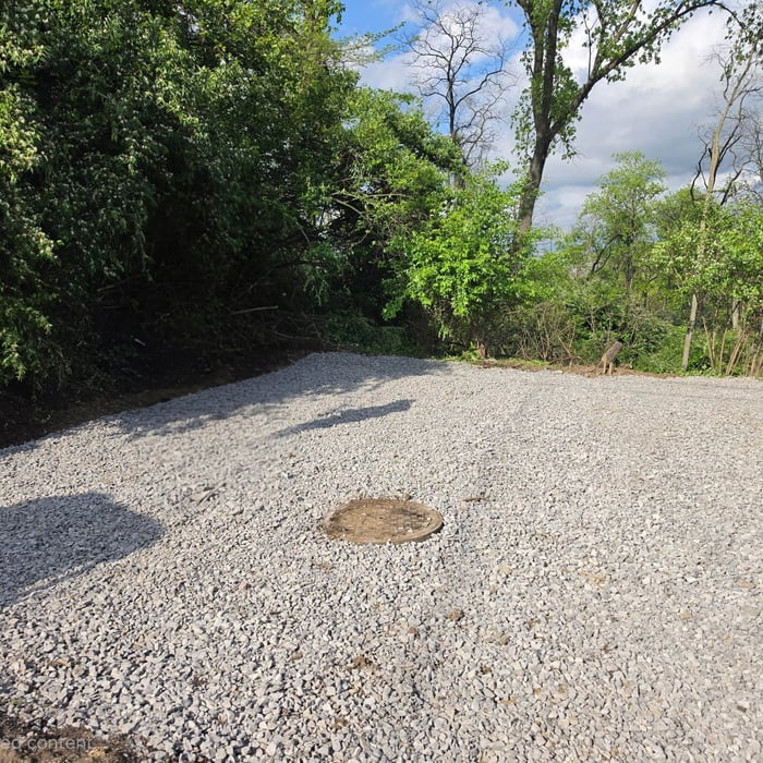
 New Parking pad
 New Parking pad

+1

15 neighbors recently requested a quote
Avatar for Sloan Construction Company
Sloan Construction Company
New to Angi
Building Site - Preparation and Clearing - For Business

Serving Apollo, PA and surrounding areas

Approved

In business since 1988

Free estimates

Offers commercial services

We're a locally owned and operated company with over 22 years of industry experience. We value honesty and integrity in all aspects of our business. We offer a variety of Home Improvement services that are customizable to each individual project. Thank you for choosing Sloan Construction Inc

Response time10 mins
...
Showing 1-10 of 101
Land Clearing Services questions, answered by experts

A land survey includes the layout of a single property, including precise measurements and to-scale drawings of boundary lines, land improvements, and sometimes other features, like topography and drainage information. A plat map includes the layouts and boundary lines of several adjacent plots and basic structure measurements. Surveys are normally more valuable for homeowners and buyers, and plat maps are for governmental use.

The small lines on the tape measure either indicate inches, fractions of an inch, or centimeters and millimeters. On the imperial unit side (aka the inches side), the longest lines indicate inches, followed by the next shortest lines that indicate a half-inch, and then the quarter, eighth, and sixteenth-inch. On the metric side, the lines break down meters, centimeters, and millimeters.

This is fairly rare, but sometimes the local government or a group like a historical society will label a tree as a landmark, or historical item. These designations almost always come with a small, on-site plaque for identification, but you should also be able to look up protected trees in your area on a city website or similar list. If the tree in question is a landmark, call your local government and ask how to proceed before making any plans.

If a buyer pays for a survey, the surveyor they hired will only provide results to them. It’s up to the buyer whether they share the survey results with the seller or not, even if they ultimately walk away from the deal. It’s considered good faith to share the results with the seller, though, especially if you back out of the deal, as the seller can then provide that survey to future interested parties.

A few different types of land surveys can help determine certain features and boundaries of your property. These include:

  • Boundary surveys describe the actual borders of a property. These are generally required when trying to get construction permits issued. 

  • Location surveys provide much of the same information as a boundary survey but also include in-depth information about any improvements made to your property. 

  • Mortgage location surveys are usually required by lenders and title companies before financing or offering an insurance policy. 

  • Site-planning surveys are done before applying for building permits and can be issued before any major home improvements. 

  • Topographic surveys provide a formal map of land elevations. It can also describe the location and size of natural features and any land improvements.

The Apollo, PA homeowners’ guide to land clearing services

From average costs to expert advice, get all the answers you need to get your job done.