





Top-rated land clearing pros.

Get matched with top land clearing pros in Dexter, OR

Enter your zip and get matched with up to 5 pros

Need a pro for your land clearing project in Dexter, OR?

Select your specific project to find the pro for you.

TRUSTED BY DEXTER, OR HOMEOWNERS

  • Average homeowner rating star icon4.6
    Average homeowner rating
  • Verified reviews icon194
    Verified land clearing services reviews

Find Land clearing pros in Dexter

Avatar for WICKWIRE CIVIL WORKS, LLC
WICKWIRE CIVIL WORKS, LLC
New to Angi
Building Site - Preparation and Clearing

Serving Dexter, OR and surrounding areas

Approved

In business since 2025

Free estimates

Warranties offered

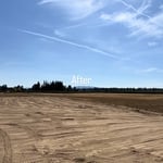
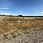
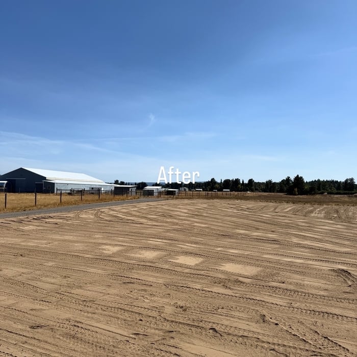
Wickwire Civil provides professional excavation and civil site services focused on precision, safety, and performance. We support residential and commercial development with reliable earthwork and site preparation solutions.

5 neighbors recently requested a quote
Avatar for Woodside Property Services, LLC
Woodside Property Services, LLC
4.8(
13
)
Building Site - Preparation and ClearingBuilding Site - Preparation and Clearing - For Business

Serving Dexter, OR and surrounding areas

In business since 2010

Emergency services offered

"Woodside was great at responding and answering questions. They were quick to get us in their schedule. We asked for rock removal and they did a great job getting the work done. We would definitely use them again! Great experience!"
Woodside Lawn Care
Woodside Lawn Care
Woodside Lawn Care
Response time2 days
Response rate85%
Recommended by58%of homeowners
Avatar for RIVERWEST OUTDOOR SOLUTIONS LAND MANAGMENT LLC
RIVERWEST OUTDOOR SOLUTIONS LAND MANAGMENT LLC
5.0(
5
)
Building Site - Preparation and Clearing

Serving Dexter, OR and surrounding areas

In business since 2021

Free estimates

Small jobs welcome

"My yard hasn’t looked this good in years! It has been covered in blackberries and another invasive species for the past 4 1/2 years since my husband’s death which was my main concern, but they had gentle suggestions for the rest. My favorite was the incorporating of my collection of large white quartz and granite river rock from the banks of the Rogue River from our many vacations on the coast and the use of my mother’s (an avid gardener) statues which they put to good use. (Didn’t realize I had so many of the latter!). They unburied some of the plants I had forgotten about, readjusted climbers, saved my roses, daylilies, a rhodie I thought was dead, and a lilac I thought some previous worker had killed, put weed fabric over every space before replanting the few plants I bought, showed me how to replant with new plants. I’ve had neighbors comment on my “new” front yard and friends on my back yard. And I really enjoyed them!"
Equipment
Equipment
Equipment
Equipment
Gravel pad/carport

+41

9 neighbors recently requested a quote

Showing 1-10 of 39
Land Clearing Services questions, answered by experts

If you’re planning to dig on your property, you’ll need to check for underground utility lines. Call the national call-before-you-dig 811 number. Once connected to an operator, you can schedule a site visit to mark underground lines. This way, you won’t accidentally dig into pipes and can cause major (read: costly) issues.

Surveys completed by licensed surveyors can be recorded with a local surveying records office, and in most cases, they will be. Filing survey reports categorize them as legal documents, and they can be used whenever legal documentation of your property’s boundaries is needed. While you’re not required to file survey documents, it’s a good idea to do so. 

A land survey includes the layout of a single property, including precise measurements and to-scale drawings of boundary lines, land improvements, and sometimes other features, like topography and drainage information. A plat map includes the layouts and boundary lines of several adjacent plots and basic structure measurements. Surveys are normally more valuable for homeowners and buyers, and plat maps are for governmental use.

The small lines on the tape measure either indicate inches, fractions of an inch, or centimeters and millimeters. On the imperial unit side (aka the inches side), the longest lines indicate inches, followed by the next shortest lines that indicate a half-inch, and then the quarter, eighth, and sixteenth-inch. On the metric side, the lines break down meters, centimeters, and millimeters.

Land survey reports have a boatload of information relevant to several scenarios. Here are the types of information contained with a survey, though it depends on your chosen type of land survey. Exact boundaries and dimensions of a given property General topography, including both natural and artificial landmarks Location of utility fixtures, like water mains Confirmation of any easements or encroachments on a piece of property Assessment of land elevation to buy flood insurance Updated information to add to a pre-existing property map

The Dexter, OR homeowners’ guide to land clearing services

From average costs to expert advice, get all the answers you need to get your job done.