
Top-rated land clearing pros.

Best land clearing pros near Maineville, OH

Enter your zip and get matched with up to 5 pros

Need a pro for your land clearing project in Maineville, OH?

Select your specific project to find the pro for you.

TRUSTED BY MAINEVILLE, OH HOMEOWNERS

  • Average homeowner rating star icon4.6
    Average homeowner rating
  • Verified reviews icon3k+
    Verified land clearing services reviews

Top-Rated Land clearing pros in Maineville - Updated Nov 2026

Avatar for Dig One Excavating
Dig One Excavating
5.0(
8
)
Building Site - Preparation and ClearingBuilding Site - Preparation and Clearing - For Business

Serving Maineville, OH and surrounding areas

Approved

Super Service Award Winner

In business since 2024

Free estimates

Emergency services offered

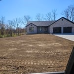
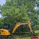
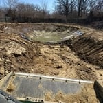
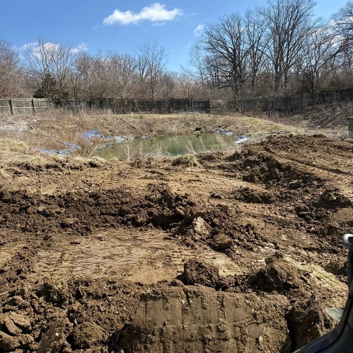
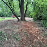
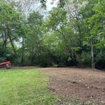
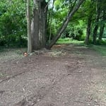
"He worked hard clearing out the honeysuckle and small trees in our backyard. He carried limbs to a dumpster. He pulled out the roots and graded the ground. He was very diligent in meeting my needs and making sure all my requests were met. I appreciate how he spent time walking the property with me to ensure I was satisfied."
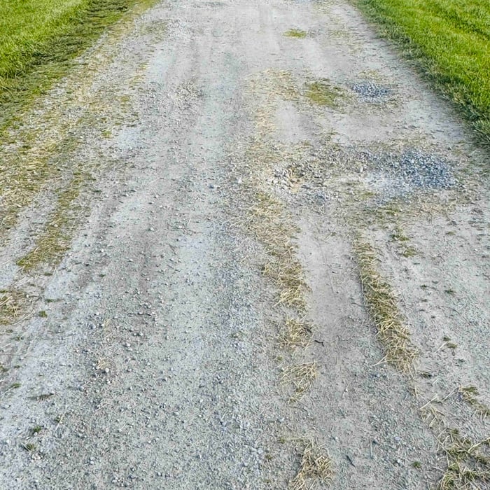
Edging driveway
Additional Photos
Additional Photos
Additional Photos
Additional Photos

+3

12 neighbors recently requested a quote
Recommended by100%of homeowners
Avatar for Tri State Complete Home Repair and Maintenance
Tri State Complete Home Repair and Maintenance
4.5(
79
)
Building Site - Preparation and ClearingBuilding Site - Preparation and Clearing - For Business

Serving Maineville, OH and surrounding areas

Approved

Super Service Award Winner

In business since 1996

Free estimates

Emergency services offered

"First time experience amazing results. Communication was clear and followed through from the beginning starting with the call. I had reached out to four prior company's. All there quotes were more then double. I will be a return costumer for any future home repair projects ."
Remodeling - General Project
Before ☹️
Remodeling - General Project
After! !
Additional Photos

+5

10 neighbors recently requested a quote
Recommended by50%of homeowners
...
Showing 1-10 of 131
Land Clearing Services FAQs, answered by experts

A few different types of land surveys can help determine certain features and boundaries of your property. These include:

  • Boundary surveys describe the actual borders of a property. These are generally required when trying to get construction permits issued. 

  • Location surveys provide much of the same information as a boundary survey but also include in-depth information about any improvements made to your property. 

  • Mortgage location surveys are usually required by lenders and title companies before financing or offering an insurance policy. 

  • Site-planning surveys are done before applying for building permits and can be issued before any major home improvements. 

  • Topographic surveys provide a formal map of land elevations. It can also describe the location and size of natural features and any land improvements.

There are a couple of ways you can determine the depth of your well. One method is to use a device called a well sounder. This tool has a long measuring tape containing a sensor to alert you once the end reaches the water. 

Or you can DIY it by using a long tape measure with a half-filled bottle of water attached to it. Lower the tape measure into your well. Once you feel tension on the tape, you’ll know the bottle has reached your static water level. This will give you an approximate idea of your well’s depth.

A land survey includes the layout of a single property, including precise measurements and to-scale drawings of boundary lines, land improvements, and sometimes other features, like topography and drainage information. A plat map includes the layouts and boundary lines of several adjacent plots and basic structure measurements. Surveys are normally more valuable for homeowners and buyers, and plat maps are for governmental use.

Professional well contractors may use electromagnetic mapping to look for places with a high likelihood of water. Water access can vary significantly, even on the same property, so it can be difficult to know where to drill if you don’t have specialized tools to look for water.

Depending on the type of land survey, the report will mark the boundaries of your property, the topographical changes of the landscape, as well as major natural and added structures to the plot. A more detailed survey, like an as-built survey, will note the measurements of the structures and landscape following major construction. A topographic survey will also help your contractor determine the cost of land development projects.

The Maineville, OH homeowners’ guide to land clearing services

From average costs to expert advice, get all the answers you need to get your job done.