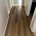
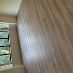
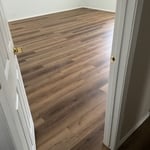
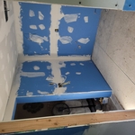
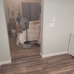
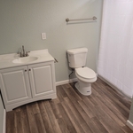
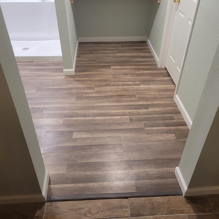
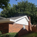
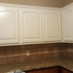
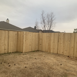
"Lorenzo did an amazing job. He installed new flooring throughout my whole house. Did a custom renovation to my master bathroom. He was really professional and tidy to. Would definitely hire him for future projects"
Thank you for visiting ! We are a locally owned and operated service based out of and servicing the surrounding areas. Whether it is residential or commercial, we promise to complete your project with a guaranteed persistence in getting it done right the first time. Contact us now for your free estimate!
Our happy and satisfied customers recommend us to their friends and family all the time. We are proud of our reputation and we feel it has been well earned. We are also happy that we can help you feel good knowing that you are working with a reputable company that stands behind its products and services.\n\n\n
We have the experience and we are committed to providing quality workmanship and superior customer service on all our applications. We at Johnson's Remodeling strive to maintain our reputation as a high quality, very service oriented company with our main focus being customer satisfaction."\n
With over 5 years of experience in the flooring industry, Flooring Tech is your industry expert in Lea County and the surrounding areas. We pride ourselves on our extreme professionalism and attention to detail. Our customer satisfaction guarantee will assure you we will not leave your property until you are completely satisfied with our work. As a locally owned and operated business you can trust that we will treat your home as we would treat our own. Give us a call today and we look forward to working with you!
A land survey includes the layout of a single property, including precise measurements and to-scale drawings of boundary lines, land improvements, and sometimes other features, like topography and drainage information. A plat map includes the layouts and boundary lines of several adjacent plots and basic structure measurements. Surveys are normally more valuable for homeowners and buyers, and plat maps are for governmental use.
To hire a land surveyor, you need to start by searching online for reputable professionals in your area. Here are a few steps to take when making a shortlist:
Browse land surveyor service website
Check credentials
Read customer reviews
Find their contact information
Call or email to inquire about more information
Ask how far they travel, if you’re some distance away
Find out how they charge for their services
Ask about schedule and turnaround times
Repeat these steps for one to two other services and compare pricing
Permit requirements to clear land vary by municipality, so whether or not you need permits depends on where you live and what you’re removing from the land. Some building departments will require permits for any underground work or excavation, meaning grinding down tree stumps on your property would require permits. Others mandate individual permits for each tree you remove. You can contact your local building department or a land-clearing specialist near you to see if permits are necessary for your job.
Detailed mapping of elevation changes and natural features on the property.
You can’t build on undeveloped land without preparing it for construction, which involves running utilities to the site or accounting for private utilities like wells and septic systems and grading and compacting the soil for safe construction. Once you prepare the land, you can build on it as long as the project abides by local zoning regulations.
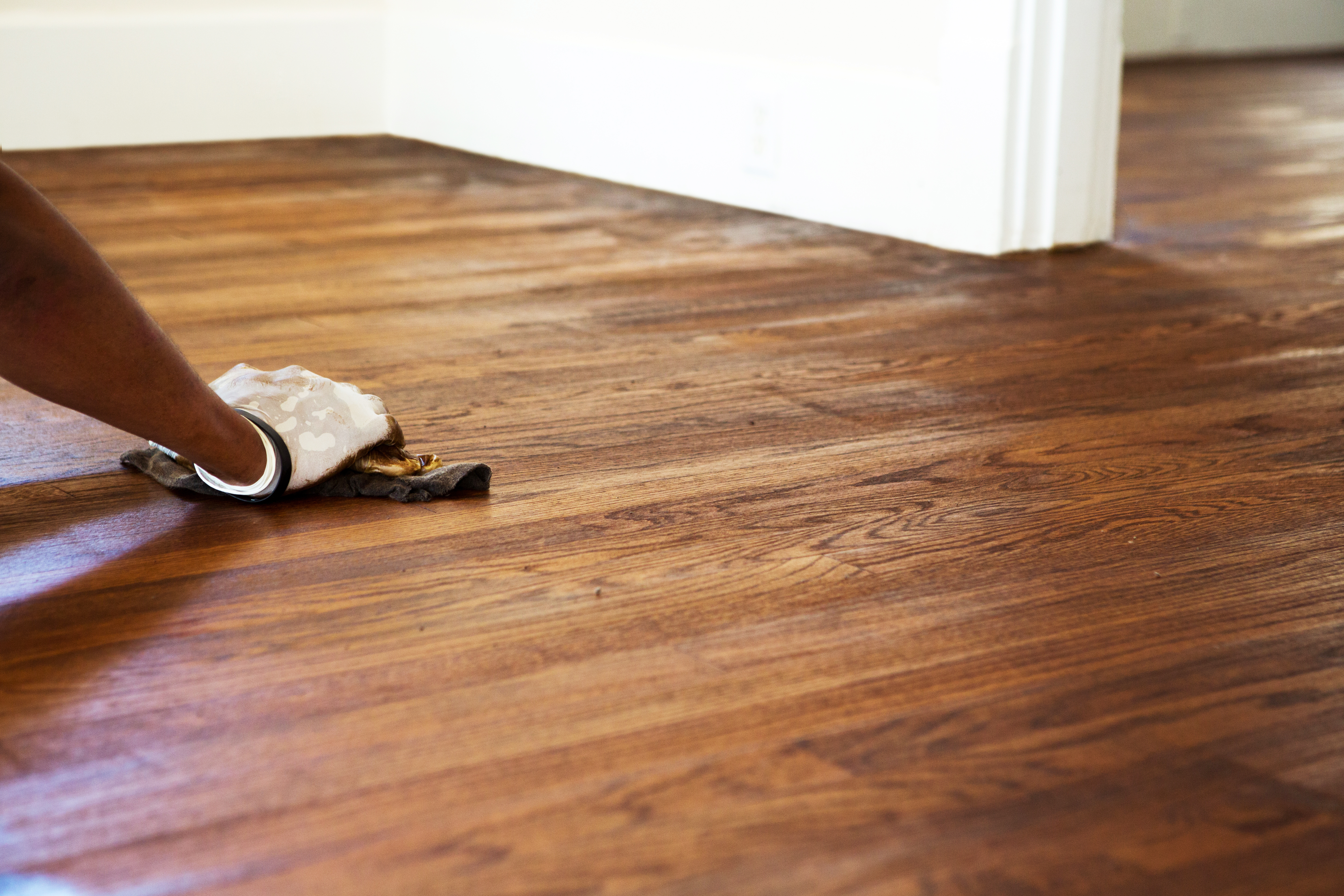
The Lake Arthur, NM homeowners’ guide to floor sanding services
From average costs to expert advice, get all the answers you need to get your job done.
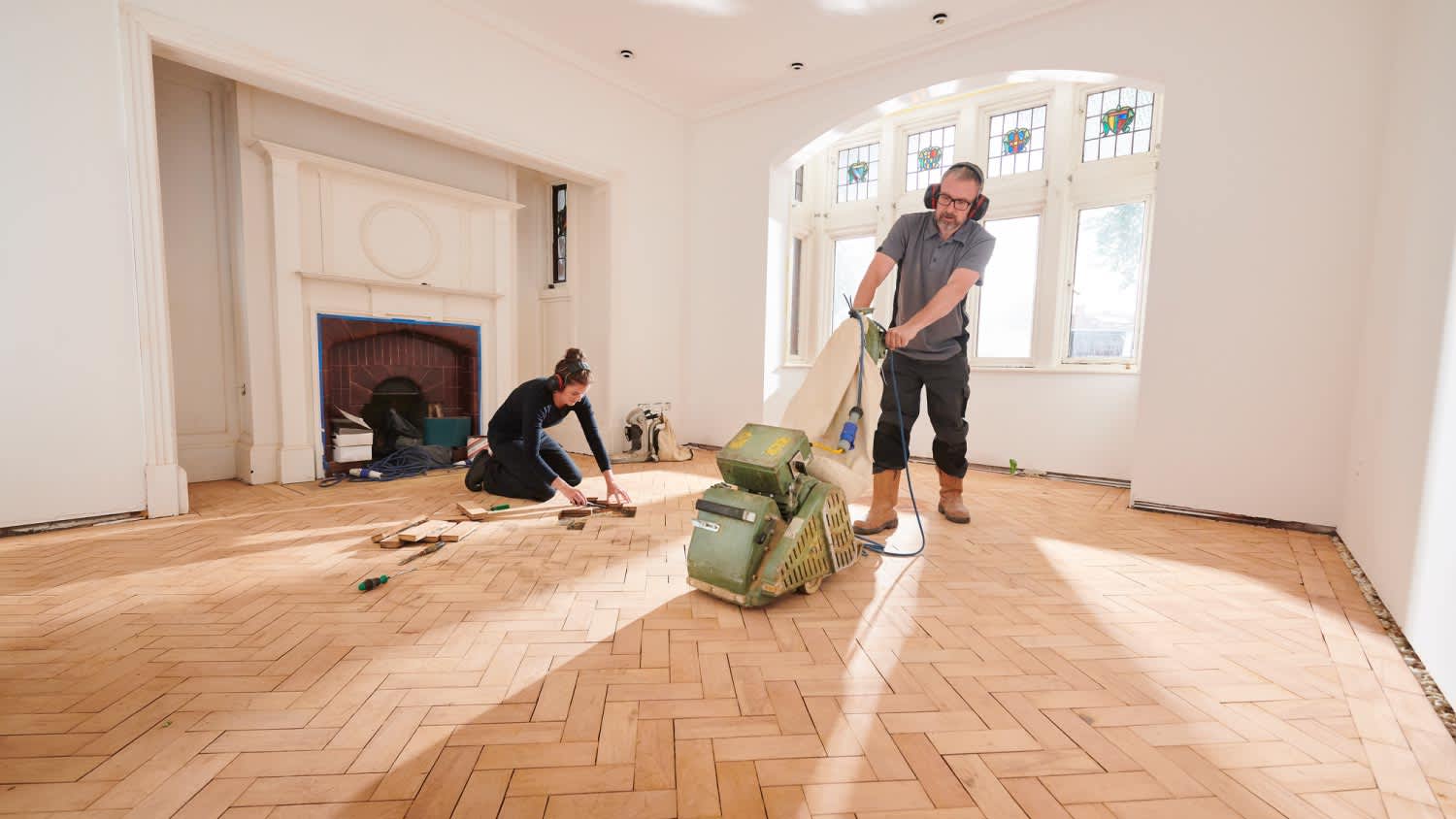
Here’s what you should expect to pay when renting an orbital, drum, vibrating, or edging floor sander—as well as where you can rent them and what else to know.
It’s impossible to keep floors damage-free over the years. Thankfully, the cost to refinish hardwood floors is far less than the price tag to replace them altogether.
Does your rough concrete need some TLC? Learn how to sand concrete to smooth out holes, chips, and other imperfections to get your concrete looking brand new.