We pride our company on fair pricing, reliability, great communication, integrity, and quality work. We are experts in our trade and will do our best to keep you as educated as we can on your particular task or project. We look forward to earning your business! Book with us online or feel free to give us a call today!
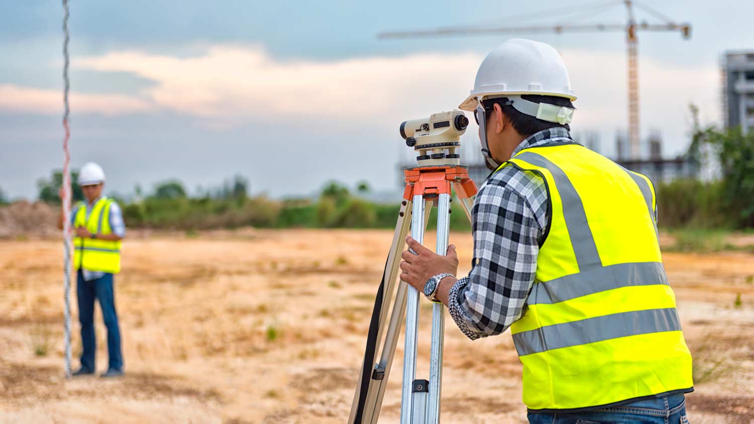
With over 10 years experience in land surveys, JP Survey can handle all your survey needs from residential to Commercial projects. Call today for a free no-obligation estimate or schedule a Survey.
A land survey can take anywhere from a few hours to a month or more, depending on the size of the property, the type of survey, the property’s accessibility and topography, and the availability of historical property records. A simple boundary survey to determine a fence line can be completed in a day while surveying 50 acres of undeveloped woodlands may take weeks or longer.
Soil testers and licensed excavators are often the professionals you hire if you need a perc test. In some cases, structural engineers will also be able to conduct the test for you. In many municipalities, you’ll need your professional on-site to dig and fill the holes with water, as well as a representative from your local building department or health department. That representative is the individual who will determine whether your test passes or fails.
Yes, they assess topography and potential risks related to flooding.
Permit requirements to clear land vary by municipality, so whether or not you need permits depends on where you live and what you’re removing from the land. Some building departments will require permits for any underground work or excavation, meaning grinding down tree stumps on your property would require permits. Others mandate individual permits for each tree you remove. You can contact your local building department or a land-clearing specialist near you to see if permits are necessary for your job.
A boundary survey measures the boundary lines of the property, only the length of each property line and their locations. A land survey includes a more in-depth measurement of the property, including the heights and depths of the terrain measured by a topographic survey. A boundary survey is typically the most cost-effective method for marking and measuring property lines.
The Carrizozo, NM homeowners’ guide to land surveying services
From average costs to expert advice, get all the answers you need to get your job done.
Wondering whether you need a land survey or a plot plan? Learn about the differences between the two, when to do each, and what information they provide.