





Top-rated land clearing pros.

Get matched with top land clearing pros in Spindale, NC

Enter your zip and get matched with up to 5 pros

Need a pro for your land clearing project in Spindale, NC?

Select your specific project to find the pro for you.

TRUSTED BY SPINDALE, NC HOMEOWNERS

  • Average homeowner rating star icon4.5
    Average homeowner rating
  • Verified reviews icon144
    Verified land clearing services reviews

Find Land clearing pros in Spindale

Avatar for All Trax
All Trax
4.9(
15
)
Building Site - Preparation and ClearingBuilding Site - Preparation and Clearing - For Business

Serving Spindale, NC and surrounding areas

Approved

Super Service Award Winner

In business since 2024

Free estimates

Credit card accepted

"Very dependable and honest company! Greg done everything he said he would do and more! Heâ s very knowledgeable in the land clearing and landscaping business! He also does demolition jobs as well! I would hire him again!"
Starts in piles
Preparation for burning
Burning
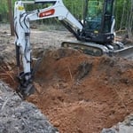
Tank pit
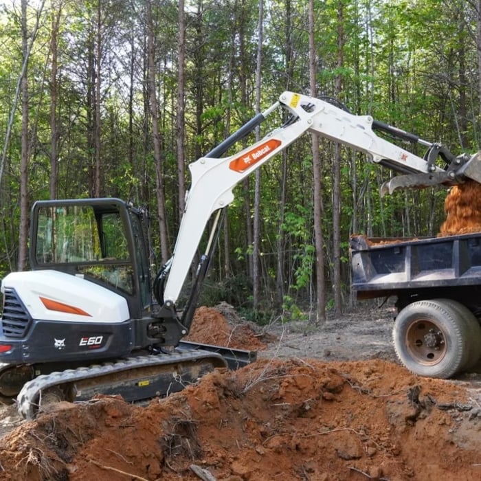
Site truck

+10

Response time10 hrs
Response rate96%
8 neighbors recently requested a quote
Avatar for All Trax, LLC
All Trax, LLC
4.9(
11
)
Building Site - Preparation and ClearingBuilding Site - Preparation and Clearing - For Business

Serving Spindale, NC and surrounding areas

Approved

In business since 2024

Free estimates

Credit card accepted

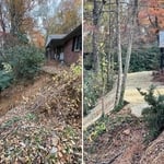
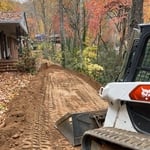
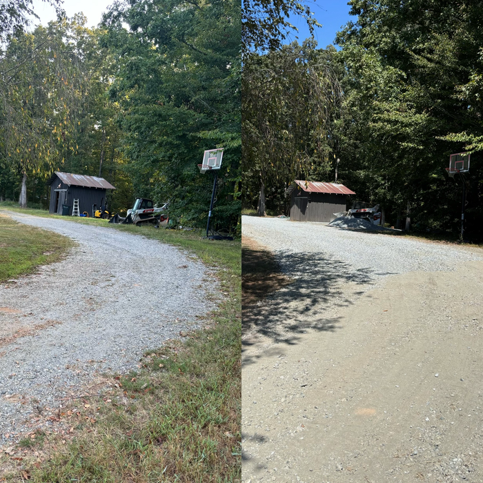
Owner Operator that can preform smaller grading or demolition jobs.\nDriveways, tree removal, land clearing, ditch digging, install culverts, demolition, concrete and footers is all something we are very capable of.\n\nAlso owner of Peek of the mountains campground were life is quiet, relaxing and respectful as life should be. As being the one who built the campground I understand and value the vision of the customer and their need for the finish product to succeed their expectations.\n\nNeed a quote feel free to call quoting is free!\nWe are based out of Peek of the mountains campground in Union Mills.

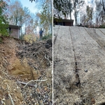
Landslide correction
Additional Photos

+33

3 neighbors recently requested a quote
Recommended by100%of homeowners
Avatar for DB's Landworks
DB's Landworks
5.0(
5
)
Building Site - Preparation and Clearing

Serving Spindale, NC and surrounding areas

Approved

In business since 2011

Free estimates

Emergency services offered

"Very professional, timely at a good price, actually hired him to perform another project after the excavation and clearing of the storm damage and again they exceeded expectations. at a great price definitely my go to person."
23 neighbors recently requested a quote
Jackson Grading and Land Clearing
4.3(
5
)
Building Site - Preparation and Clearing

Serving Spindale, NC and surrounding areas

Approved

In business since 1990

Free estimates

Customers say: Quick response

"Christopher did everything I asked him to do. Very pleasant, professional, and honest. Best price in town and the best work in town. I highly recommend and I have his cards and already have handed. His work is very impressive."
Response time1 day
1 neighbors recently requested a quote
Recommended by80%of homeowners
...
Showing 1-10 of 78
Land Clearing Services questions, answered by experts

Land surveys don’t technically expire. They do serve as a point of reference and a snapshot of your property, though, so as soon as you make changes to your property (and even if your neighbor makes certain changes to theirs), your existing land survey becomes inaccurate, and a new one must be done. Even if you don’t make any changes to your property, many states only guarantee the accuracy of a land survey for five to ten years.

A land survey includes the layout of a single property, including precise measurements and to-scale drawings of boundary lines, land improvements, and sometimes other features, like topography and drainage information. A plat map includes the layouts and boundary lines of several adjacent plots and basic structure measurements. Surveys are normally more valuable for homeowners and buyers, and plat maps are for governmental use.

There are a couple of ways you can determine the depth of your well. One method is to use a device called a well sounder. This tool has a long measuring tape containing a sensor to alert you once the end reaches the water. 

Or you can DIY it by using a long tape measure with a half-filled bottle of water attached to it. Lower the tape measure into your well. Once you feel tension on the tape, you’ll know the bottle has reached your static water level. This will give you an approximate idea of your well’s depth.

The small lines on the tape measure either indicate inches, fractions of an inch, or centimeters and millimeters. On the imperial unit side (aka the inches side), the longest lines indicate inches, followed by the next shortest lines that indicate a half-inch, and then the quarter, eighth, and sixteenth-inch. On the metric side, the lines break down meters, centimeters, and millimeters.

If you’re planning to dig on your property, you’ll need to check for underground utility lines. Call the national call-before-you-dig 811 number. Once connected to an operator, you can schedule a site visit to mark underground lines. This way, you won’t accidentally dig into pipes and can cause major (read: costly) issues.

The Spindale, NC homeowners’ guide to land clearing services

From average costs to expert advice, get all the answers you need to get your job done.