



Top-rated land clearing pros.

Get matched with top land clearing pros in Robbins, NC

Enter your zip and get matched with up to 5 pros

Need a pro for your land clearing project in Robbins, NC?

Select your specific project to find the pro for you.

TRUSTED BY ROBBINS, NC HOMEOWNERS

  • Average homeowner rating star icon4.6
    Average homeowner rating
  • Verified reviews icon107
    Verified land clearing services reviews

Find Land clearing pros in Robbins

Avatar for Carolina Pinewood LLC
Carolina Pinewood LLC
5.0(
16
)
Building Site - Preparation and ClearingBuilding Site - Preparation and Clearing - For Business

Serving Robbins, NC and surrounding areas

Approved

Super Service Award Winner

In business since 2019

Free estimates

Emergency services offered

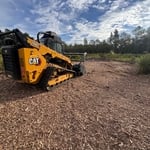
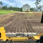
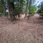
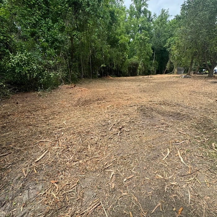
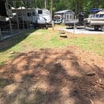
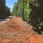
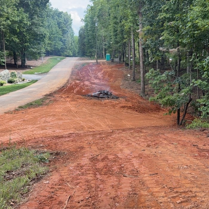
"Carolina Pinewood LLC efficiently cleared approximately one acre of pine and various hardwood trees, as well as a variety of shrubs at my residence in just 5 days. They expertly mulched the shrubs and branches, preserved the trees I wanted to keep, and neatly stacked the debris. Their pricing was affordable yet competitive, and the online communication with the company was consistently professional and prompt. The owner, Filipe completed most of the work by himself. He was highly knowledgeable and readily shared technical information. I highly recommend Carolina Pinewood LLC for any land clearance needs, they receive a perfect 10 out of 10 rating in my book."
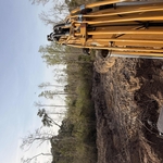
Excavating Project
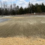
Yard leveling for grass seeds
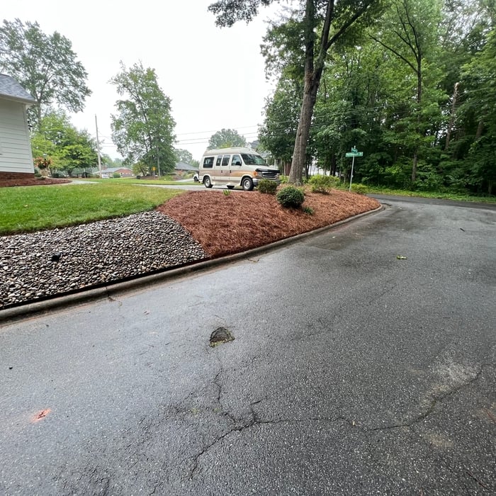
Culvert Drainage
Mulching
Mulching

+106

Response time2 days
Response rate100%
1 neighbors recently requested a quote
...
Showing 1-10 of 60
Land Clearing Services questions, answered by experts

A land survey provides precise property boundaries, reveals legal encroachments, and identifies rights-of-way, minimizing disputes. Understanding the exact dimensions and features of the property aids in informed decision-making and safeguards the buyer's investment.

There are a couple of ways you can determine the depth of your well. One method is to use a device called a well sounder. This tool has a long measuring tape containing a sensor to alert you once the end reaches the water. 

Or you can DIY it by using a long tape measure with a half-filled bottle of water attached to it. Lower the tape measure into your well. Once you feel tension on the tape, you’ll know the bottle has reached your static water level. This will give you an approximate idea of your well’s depth.

Detailed mapping of elevation changes and natural features on the property.

You can’t build on undeveloped land without preparing it for construction, which involves running utilities to the site or accounting for private utilities like wells and septic systems and grading and compacting the soil for safe construction. Once you prepare the land, you can build on it as long as the project abides by local zoning regulations.

A boundary survey measures the boundary lines of the property, only the length of each property line and their locations. A land survey includes a more in-depth measurement of the property, including the heights and depths of the terrain measured by a topographic survey. A boundary survey is typically the most cost-effective method for marking and measuring property lines.

The Robbins, NC homeowners’ guide to land clearing services

From average costs to expert advice, get all the answers you need to get your job done.