







Top-rated land clearing pros.

Get matched with top land clearing pros in Foxfire, NC

Enter your zip and get matched with up to 5 pros

Need a pro for your land clearing project in Foxfire, NC?

Select your specific project to find the pro for you.

TRUSTED BY FOXFIRE, NC HOMEOWNERS

  • Average homeowner rating star icon4.6
    Average homeowner rating
  • Verified reviews icon212
    Verified land clearing services reviews

Find Land clearing pros in Foxfire

Avatar for Buffalo Creek Land Management
Buffalo Creek Land Management
5.0(
5
)
Building Site - Preparation and ClearingBuilding Site - Preparation and Clearing - For Business

Serving Foxfire, NC and surrounding areas

Approved

Emergency services offered

Small jobs welcome

Credit card accepted

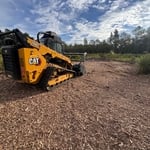
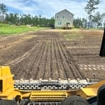
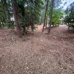
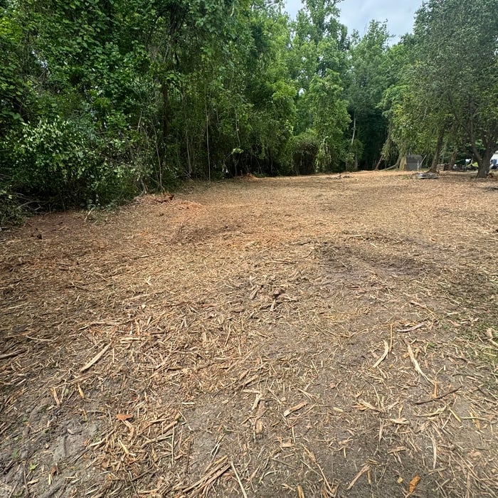
At Buffalo Creek Land Management L.L.C., we specialize in reliable, high-quality land services across Hoke County and surrounding areas. Our team provides expert land clearing, forestry mulching, grading, and brush removal, demo and excavation for homeowners, farmers, and developers.

Pond build
Pond build
Tree removal
3 neighbors recently requested a quote
Showing 1-10 of 44
Land Clearing Services questions, answered by experts

You should always calculate real estate development costs on a case-by-case basis, so there’s no specific formula to estimate your total. You should speak with a local construction manager to see what you’ll need to do in terms of clearing and leveling the land, connecting utilities, and pulling permits for construction. A professional will be able to get you an accurate estimate for land development.

Land surveys don’t technically expire. They do serve as a point of reference and a snapshot of your property, though, so as soon as you make changes to your property (and even if your neighbor makes certain changes to theirs), your existing land survey becomes inaccurate, and a new one must be done. Even if you don’t make any changes to your property, many states only guarantee the accuracy of a land survey for five to ten years.

A boundary survey measures the boundary lines of the property, only the length of each property line and their locations. A land survey includes a more in-depth measurement of the property, including the heights and depths of the terrain measured by a topographic survey. A boundary survey is typically the most cost-effective method for marking and measuring property lines.

When planning for land survey costs, you should consider the following elements as major contributors to the overall cost:

  • Size of your property in terms of acres or square feet

  • Complexity of the terrain in terms of hills, elevation changes, rocks, water, and other features

  • Type of survey you need (boundary survey, topographic survey, or a combination of survey types)

  • Distance traveled for the professional surveyor

If a buyer pays for a survey, the surveyor they hired will only provide results to them. It’s up to the buyer whether they share the survey results with the seller or not, even if they ultimately walk away from the deal. It’s considered good faith to share the results with the seller, though, especially if you back out of the deal, as the seller can then provide that survey to future interested parties.

The Foxfire, NC homeowners’ guide to land clearing services

From average costs to expert advice, get all the answers you need to get your job done.