K&S Excavation, is committed to excellence every aspect of our business. We uphold a standard of integrity bound by fairness, honesty, and personal responsibility. Our distinction is the quality of service we bring to our customers. Accurate knowledge of our trade combined with ability is what makes us true professionals. Above all, we are watchful of our customers' interests, and make their concerns the basis of our business.
If you dream it, we can build it. What's the biggest difference between us and them? We build to last! We offer a full line of Green and Energy Star Certified products, backed by our labor and manufacturer's lifetime transferable warranties. Credit Cards Welcome Financing Available OAC.
"Jasen does great work. We have hired him to do a couple projects for us this past year. It has been a great experience. He has good communication, he gets back to us when we call and his price point is really reasonable. He does good quality work."
We pride our company on reliability, great communication, integrity, and quality work. We are experts in our trade and will do our best to keep you as educated as we can on your particular task or project. We look forward to earning your business! Book with us online or feel free to give us a call today!
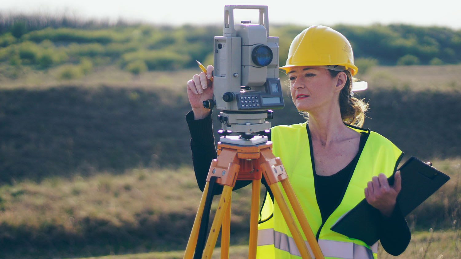
Property lines, building locations, and potential encroachments are mapped.
A boundary survey measures the boundary lines of the property, only the length of each property line and their locations. A land survey includes a more in-depth measurement of the property, including the heights and depths of the terrain measured by a topographic survey. A boundary survey is typically the most cost-effective method for marking and measuring property lines.
This is fairly rare, but sometimes the local government or a group like a historical society will label a tree as a landmark, or historical item. These designations almost always come with a small, on-site plaque for identification, but you should also be able to look up protected trees in your area on a city website or similar list. If the tree in question is a landmark, call your local government and ask how to proceed before making any plans.
Land survey reports have a boatload of information relevant to several scenarios. Here are the types of information contained with a survey, though it depends on your chosen type of land survey. Exact boundaries and dimensions of a given property General topography, including both natural and artificial landmarks Location of utility fixtures, like water mains Confirmation of any easements or encroachments on a piece of property Assessment of land elevation to buy flood insurance Updated information to add to a pre-existing property map
A land survey can take anywhere from a few hours to a month or more, depending on the size of the property, the type of survey, the property’s accessibility and topography, and the availability of historical property records. A simple boundary survey to determine a fence line can be completed in a day while surveying 50 acres of undeveloped woodlands may take weeks or longer.
The Scobey, MT homeowners’ guide to land clearing services
From average costs to expert advice, get all the answers you need to get your job done.