K&S Excavation, is committed to excellence every aspect of our business. We uphold a standard of integrity bound by fairness, honesty, and personal responsibility. Our distinction is the quality of service we bring to our customers. Accurate knowledge of our trade combined with ability is what makes us true professionals. Above all, we are watchful of our customers' interests, and make their concerns the basis of our business.
If you dream it, we can build it. What's the biggest difference between us and them? We build to last! We offer a full line of Green and Energy Star Certified products, backed by our labor and manufacturer's lifetime transferable warranties. Credit Cards Welcome Financing Available OAC.
"Jasen does great work. We have hired him to do a couple projects for us this past year. It has been a great experience. He has good communication, he gets back to us when we call and his price point is really reasonable. He does good quality work."
We pride our company on reliability, great communication, integrity, and quality work. We are experts in our trade and will do our best to keep you as educated as we can on your particular task or project. We look forward to earning your business! Book with us online or feel free to give us a call today!
Land Clearing Services questions, answered by experts
Pros will assess your soil type, property geography, and rain patterns for optimal slope.
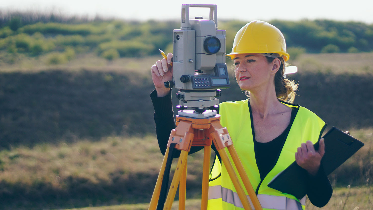
A professional land surveyor ensures accurate property boundaries and prevent legal disputes.
A few different types of land surveys can help determine certain features and boundaries of your property. These include:
Boundary surveys describe the actual borders of a property. These are generally required when trying to get construction permits issued.
Location surveys provide much of the same information as a boundary survey but also include in-depth information about any improvements made to your property.
Mortgage location surveys are usually required by lenders and title companies before financing or offering an insurance policy.
Site-planning surveys are done before applying for building permits and can be issued before any major home improvements.
Topographic surveys provide a formal map of land elevations. It can also describe the location and size of natural features and any land improvements.
It is almost always necessary to hire a land surveyor near you to ensure your fence sits on the right side of the property line. Mistaking the shape of your property can lead to fines and costly changes if you have to move or adjust the privacy fence—not to mention some surly looks from your neighbor. We recommend jumpstarting your fence planning in the spring to ensure there is plenty of time to map out your plan before construction season.
A land survey provides precise property boundaries, reveals legal encroachments, and identifies rights-of-way, minimizing disputes. Understanding the exact dimensions and features of the property aids in informed decision-making and safeguards the buyer's investment.
The Poplar, MT homeowners’ guide to land clearing services
From average costs to expert advice, get all the answers you need to get your job done.