K&S Excavation, is committed to excellence every aspect of our business. We uphold a standard of integrity bound by fairness, honesty, and personal responsibility. Our distinction is the quality of service we bring to our customers. Accurate knowledge of our trade combined with ability is what makes us true professionals. Above all, we are watchful of our customers' interests, and make their concerns the basis of our business.
If you dream it, we can build it. What's the biggest difference between us and them? We build to last! We offer a full line of Green and Energy Star Certified products, backed by our labor and manufacturer's lifetime transferable warranties. Credit Cards Welcome Financing Available OAC.
"Jasen does great work. We have hired him to do a couple projects for us this past year. It has been a great experience. He has good communication, he gets back to us when we call and his price point is really reasonable. He does good quality work."
We pride our company on reliability, great communication, integrity, and quality work. We are experts in our trade and will do our best to keep you as educated as we can on your particular task or project. We look forward to earning your business! Book with us online or feel free to give us a call today!
Land Clearing Services questions, answered by experts
Building a road on a slope requires careful planning and will normally require a drainage system underneath to prevent flooding and damage to the road over time. Your professional may lengthen your road to create switchbacks if the slope directly to your home is too steep, as there are regulations for maximum road slope. The drainage system will help prevent runoff from the higher side of the slope from damaging the asphalt or concrete. Keep in mind that building a road on a slope isn’t a good DIY project, as a lot can go wrong.
Yes, new home construction will always require building permits, no matter where you live. In most cases, you’ll need a general construction permit, along with plumbing and electrical permits for the utility lines in your home. Depending on where you live, you’ll likely find that you also need permits for things like connection to a sewage system or installing exterior components, like decks, driveways, patios, and curb cutouts. Leave navigating the permits required for new home construction to a professional to ensure your home is built legally and safely.
Detailed mapping of elevation changes and natural features on the property.
Pros will assess your soil type, property geography, and rain patterns for optimal slope.
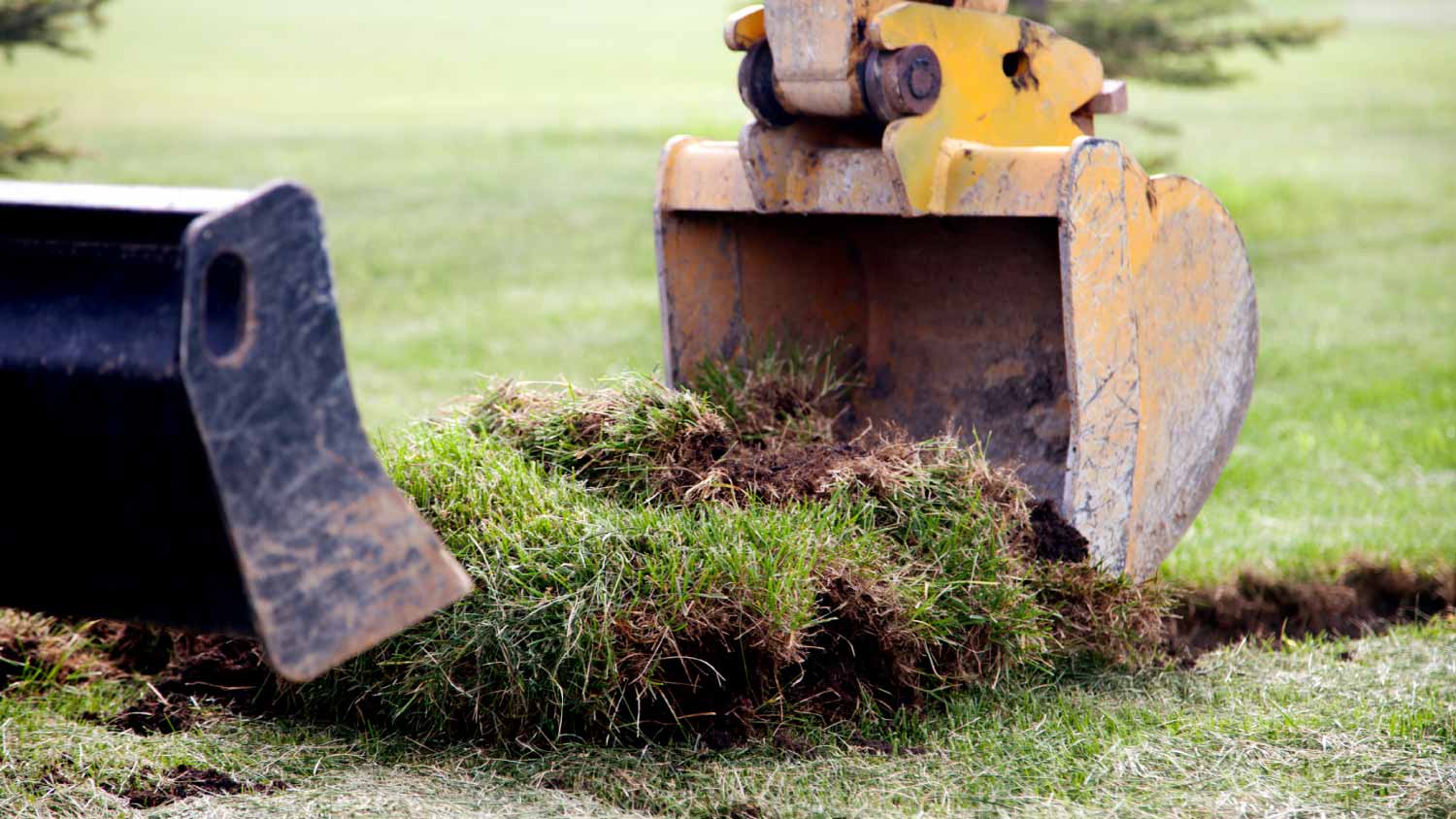
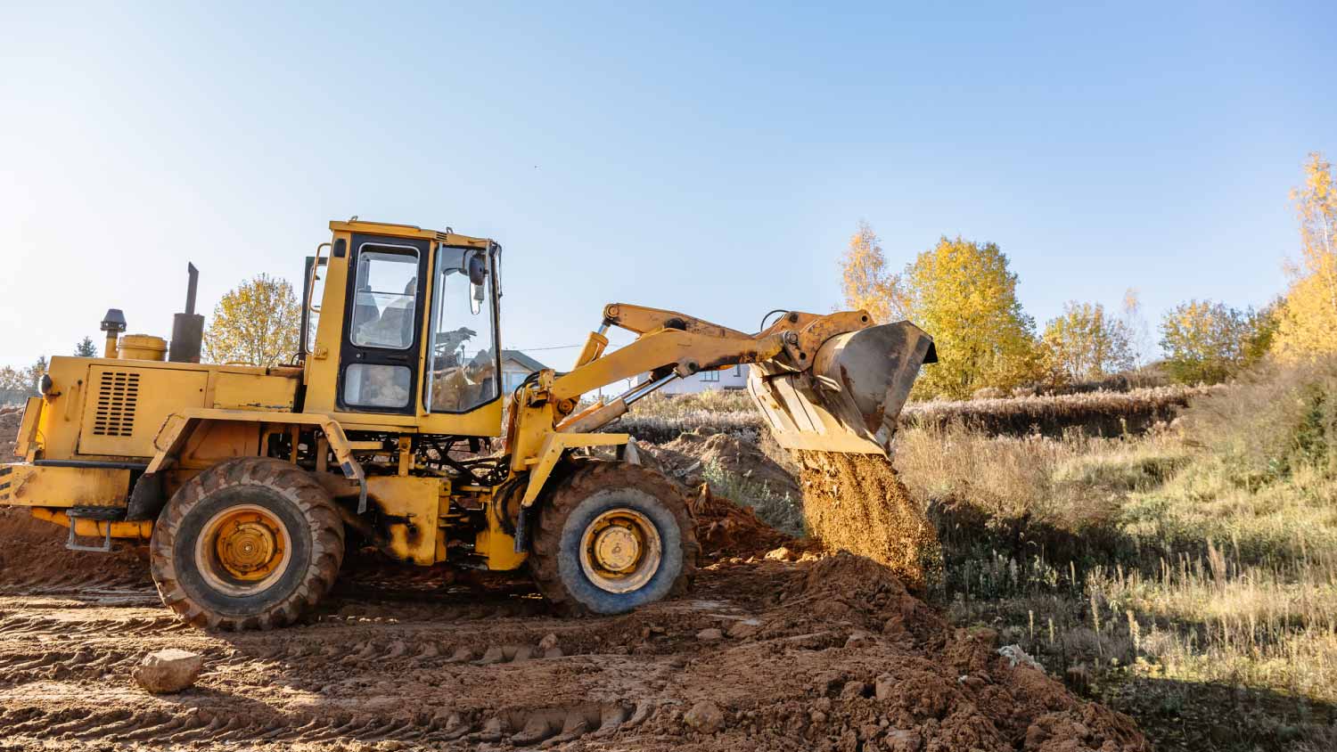
Permit requirements to clear land vary by municipality, so whether or not you need permits depends on where you live and what you’re removing from the land. Some building departments will require permits for any underground work or excavation, meaning grinding down tree stumps on your property would require permits. Others mandate individual permits for each tree you remove. You can contact your local building department or a land-clearing specialist near you to see if permits are necessary for your job.
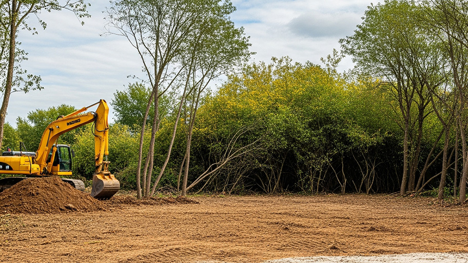
The Wolf Point, MT homeowners’ guide to land clearing services
From average costs to expert advice, get all the answers you need to get your job done.