





Top-rated land clearing pros.

Best land clearing pros near Saint James, MO

Enter your zip and get matched with up to 5 pros

Need a pro for your land clearing project in Saint James, MO?

Select your specific project to find the pro for you.

TRUSTED BY SAINT JAMES, MO HOMEOWNERS

  • Average homeowner rating star icon4.7
    Average homeowner rating
  • Verified reviews icon106
    Verified land clearing services reviews

Top-Rated Land clearing pros in Saint James - Updated Nov 2026

Avatar for Down & Dirty Land Clearing LLC
Down & Dirty Land Clearing LLC
5.0(
11
)
Building Site - Preparation and ClearingBuilding Site - Preparation and Clearing - For Business

Serving Saint James, MO and surrounding areas

In business since 2019

Free estimates

Credit card accepted

"For the past two years, Tim and Down & Dirty Land Clearing have done my site work, excavating, and trail making. Excellent workmanship and a clear commitment to safety every step of the way. Tim genuinely cares about doing the job right. I will continue my relationship with Down & Dirty and can comfortably recommend them."
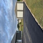
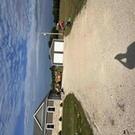
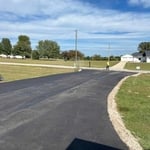
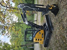
Resort building
Resort building
Resort building
Resort building
Resort building

+5

Avatar for ML Land Management
ML Land Management
5.0(
5
)
Building Site - Preparation and Clearing

Serving Saint James, MO and surrounding areas

Free estimates

Credit card accepted

"ML Land Management was very professional and helped make my house look better. He gave me his best advice while still listening to what I wanted! Would definitely recommend for anything you are needing!"
3 neighbors recently requested a quote
...
Showing 1-10 of 53
Land Clearing Services FAQs, answered by experts

The small lines on the tape measure either indicate inches, fractions of an inch, or centimeters and millimeters. On the imperial unit side (aka the inches side), the longest lines indicate inches, followed by the next shortest lines that indicate a half-inch, and then the quarter, eighth, and sixteenth-inch. On the metric side, the lines break down meters, centimeters, and millimeters.

Land survey reports have a boatload of information relevant to several scenarios. Here are the types of information contained with a survey, though it depends on your chosen type of land survey. Exact boundaries and dimensions of a given property General topography, including both natural and artificial landmarks Location of utility fixtures, like water mains Confirmation of any easements or encroachments on a piece of property Assessment of land elevation to buy flood insurance Updated information to add to a pre-existing property map

A land survey includes the layout of a single property, including precise measurements and to-scale drawings of boundary lines, land improvements, and sometimes other features, like topography and drainage information. A plat map includes the layouts and boundary lines of several adjacent plots and basic structure measurements. Surveys are normally more valuable for homeowners and buyers, and plat maps are for governmental use.

Depending on the type of land survey, the report will mark the boundaries of your property, the topographical changes of the landscape, as well as major natural and added structures to the plot. A more detailed survey, like an as-built survey, will note the measurements of the structures and landscape following major construction. A topographic survey will also help your contractor determine the cost of land development projects.

Before property transactions or major improvements to ensure accuracy.

The Saint James, MO homeowners’ guide to land clearing services

From average costs to expert advice, get all the answers you need to get your job done.