
Top-rated land clearing pros.

Get matched with top land clearing pros in Princeton, MO

Enter your zip and get matched with up to 5 pros

Need a pro for your land clearing project in Princeton, MO?

Select your specific project to find the pro for you.

Find Land clearing pros in Princeton

Avatar for McDowell Excavating, LLC
McDowell Excavating, LLC
5.0(
11
)
Building Site - Preparation and ClearingBuilding Site - Preparation and Clearing - For Business

Serving Princeton, MO and surrounding areas

Approved

In business since 2022

Free estimates

Emergency services offered

"They did a great job creating a gravel pad for our camper! He was able to complete the job just a few days after my first conversation with him. He was very easy to work with, very patient with my many texts, happy to troubleshoot some different ideas with us and offered professional and knowledgeable advice. I would gladly hire him again and would highly recommend him to others."
Excavator
Snow removal
Snow removal
Snow removal
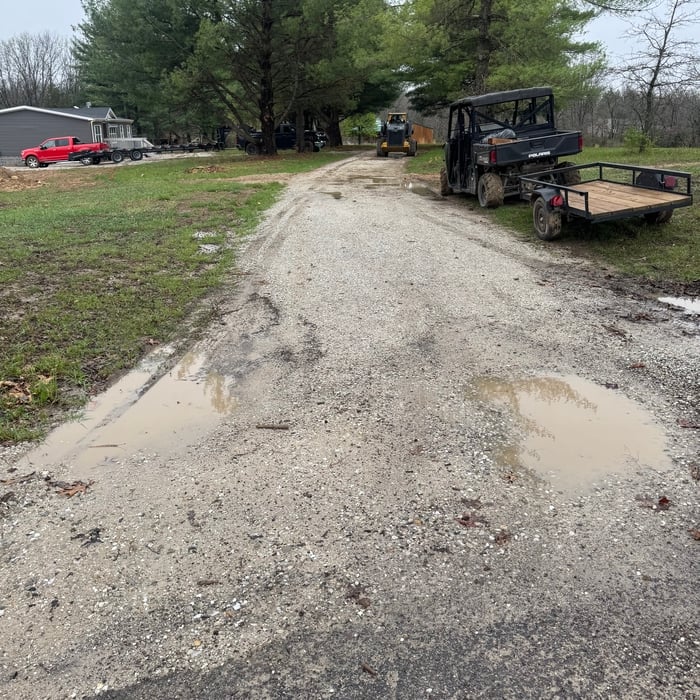
Driveway reclaiming

+2

3 neighbors recently requested a quote
Miller Land Services
New to Angi
Building Site - Preparation and Clearing

Serving Princeton, MO and surrounding areas

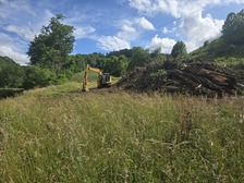
Miller Land Services provides dependable land clearing and property improvement services for farms, hunting properties, acreages, and rural landowners. We specialize in brush and tree removal, lot clearing, fence row clearing, CRP restoration, dirt work, driveway restoration, drainage, culverts, and property cleanup. We take pride in doing quality work, communicating with our customers, and helping turn overgrown or neglected ground back into usable property.

Tree Removal
Showing 1-10 of 15
Land Clearing Services questions, answered by experts

Land survey reports have a boatload of information relevant to several scenarios. Here are the types of information contained with a survey, though it depends on your chosen type of land survey. Exact boundaries and dimensions of a given property General topography, including both natural and artificial landmarks Location of utility fixtures, like water mains Confirmation of any easements or encroachments on a piece of property Assessment of land elevation to buy flood insurance Updated information to add to a pre-existing property map

A boundary survey measures the boundary lines of the property, only the length of each property line and their locations. A land survey includes a more in-depth measurement of the property, including the heights and depths of the terrain measured by a topographic survey. A boundary survey is typically the most cost-effective method for marking and measuring property lines.

ALTA/ACSM surveys are the most comprehensive type of land survey and, as such, tend to be the most expensive. These surveys have standardized guidelines and reports and are used in many kinds of real estate transactions to ensure consistent and accurate information is available for properties.

Yes, they assess topography and potential risks related to flooding.

There are a couple of ways you can determine the depth of your well. One method is to use a device called a well sounder. This tool has a long measuring tape containing a sensor to alert you once the end reaches the water. 

Or you can DIY it by using a long tape measure with a half-filled bottle of water attached to it. Lower the tape measure into your well. Once you feel tension on the tape, you’ll know the bottle has reached your static water level. This will give you an approximate idea of your well’s depth.

The Princeton, MO homeowners’ guide to land clearing services

From average costs to expert advice, get all the answers you need to get your job done.