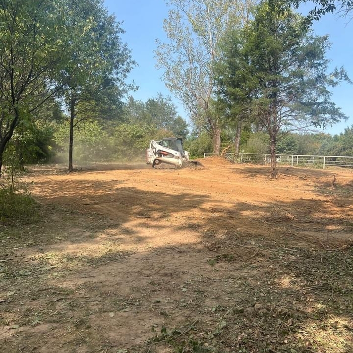


Top-rated land clearing pros.

Get matched with top land clearing pros in Eureka, MO

Enter your zip and get matched with up to 5 pros

Need a pro for your land clearing project in Eureka, MO?

Select your specific project to find the pro for you.

TRUSTED BY EUREKA, MO HOMEOWNERS

  • Average homeowner rating star icon4.6
    Average homeowner rating
  • Verified reviews icon1.3k+
    Verified land clearing services reviews

Find Land clearing pros in Eureka

Avatar for Steer It Right Land Services, LLC
Steer It Right Land Services, LLC
5.0(
5
)
Building Site - Preparation and ClearingBuilding Site - Preparation and Clearing - For Business

Serving Eureka, MO and surrounding areas

Approved

Super Service Award Winner

In business since 2024

Free estimates

Emergency services offered

"Dillon and his crew were Exceptional! Communicated very well on the work to be completed in a timely manner. We plan on using their services in the future and highly recommend to anyone looking for professional quality Excavating Services!"
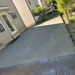
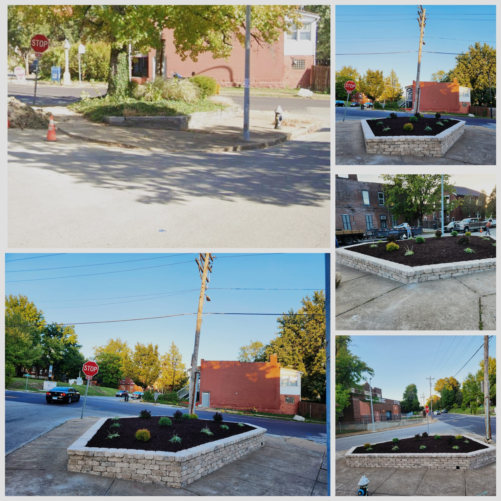
Valley park patio
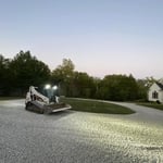
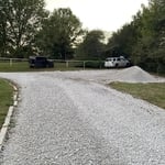
Catawissa drive work
Land clearing

+19

Response time2 days
3 neighbors recently requested a quote
Recommended by100%of homeowners
Avatar for JP Sheehan Construction, LLC
JP Sheehan Construction, LLC
4.7(
35
)
Building Site - Preparation and ClearingBuilding Site - Preparation and Clearing - For Business

Serving Eureka, MO and surrounding areas

Approved

In business since 1992

Free estimates

Credit card accepted

The JP Sheehan Construction L.L.C. family offers Fast, Cost effective solutions. We do what we are supposed to do when we say we are going to do it. Patrick believes in solid Engineering when needed, backed by clear and precise planning to control budgets. Patrick is backed by a Structural Engineer, Architect, Designer as well as Drafting when needed. We plan it out on paper, so everyone knows what is to be expected. This is where we ensure no surprises, for we will build it on paper till we are clear on what is to be accomplished. Patrick meets all clients personally, and oversees all tasks, operations and paperwork personally. We can take what you are wanting to see happen, and make it happen. Where we excel is we listen carefully, and present options and examples. We ensure you are in control. What to expect is open descriptive Bids, backed by References you can talk to. We have one goal, exceed the client expectation.

8,000 sq ft Barn
8,000 sq ft Barn
8,000 sq ft Barn
8,000 sq ft Barn
8,000 sq ft Barn

+12

6 neighbors recently requested a quote
Recommended by87%of homeowners
Avatar for JGW Demo & Excavation
JGW Demo & Excavation
5.0(
3
)
Building Site - Preparation and Clearing

Serving Eureka, MO and surrounding areas

Approved

In business since 2022

Offers commercial services

Customers say: Quick response

"Jack is a great communicator. Kept me updated throughout the process. His attention to detail was amazing, he finished the project and left a clean work site when complete. I will definitely hire him again."
My jobs
My jobs
My jobs
My jobs
Response time30 mins
Recommended by100%of homeowners
...
Showing 1-10 of 135
Land Clearing Services questions, answered by experts

A land survey includes the layout of a single property, including precise measurements and to-scale drawings of boundary lines, land improvements, and sometimes other features, like topography and drainage information. A plat map includes the layouts and boundary lines of several adjacent plots and basic structure measurements. Surveys are normally more valuable for homeowners and buyers, and plat maps are for governmental use.
Measure from zero on a measuring tape by placing the metal hook right up against the edge of what you need to measure. You can also latch the hook onto an open edge—of, say, a table—to accurately measure as well. If you begin at the 1-inch mark, you'll need to subtract an inch from your total.

A boundary survey measures the boundary lines of the property, only the length of each property line and their locations. A land survey includes a more in-depth measurement of the property, including the heights and depths of the terrain measured by a topographic survey. A boundary survey is typically the most cost-effective method for marking and measuring property lines.

Yes, they assess topography and potential risks related to flooding.

There are a couple of ways you can determine the depth of your well. One method is to use a device called a well sounder. This tool has a long measuring tape containing a sensor to alert you once the end reaches the water. 

Or you can DIY it by using a long tape measure with a half-filled bottle of water attached to it. Lower the tape measure into your well. Once you feel tension on the tape, you’ll know the bottle has reached your static water level. This will give you an approximate idea of your well’s depth.

The Eureka, MO homeowners’ guide to land clearing services

From average costs to expert advice, get all the answers you need to get your job done.