



Horizon Forestry
Building Site - Preparation and Clearing - For Business
Serving Kinross, MI and surrounding areas
Approved
Horizon Forestry offers land clearing/forestry mowing, food plots and hunting land development. ROW clearing and maintenance.

*The Angi rating for Land Clearing companies in Kinross, MI is a rating based on verified reviews from our community of homeowners who have used these pros to meet their Land Clearing needs.
*The HomeAdvisor rating for Land Clearing companies in Kinross, MI is a rating based on verified reviews from our community of homeowners who have used these pros to meet their Land Clearing needs.
Last update on July 26, 2023
Serving Kinross, MI and surrounding areas
Approved
Horizon Forestry offers land clearing/forestry mowing, food plots and hunting land development. ROW clearing and maintenance.
Serving Kinross, MI and surrounding areas
In business since 2021
Free estimates
Emergency services offered
"They did a good work and I'm very happy with the service. They did what they said and they showed up on time. They did the job in a timely manner. It was a pleasure to work with them as well."
Serving Kinross, MI and surrounding areas
In business since 1980
Free estimates
Emergency services offered
"They were fantastic he called me right back after I call. Very prompt, always available, the question I had he got all the information we needed for putting the septic and over all electrical wires, he explained everything. Over all great business people and I was very satisfied with the work that he did. I will definitely use them again, he always explained the cost about financial."
From average costs to expert advice, get all the answers you need to get your job done.
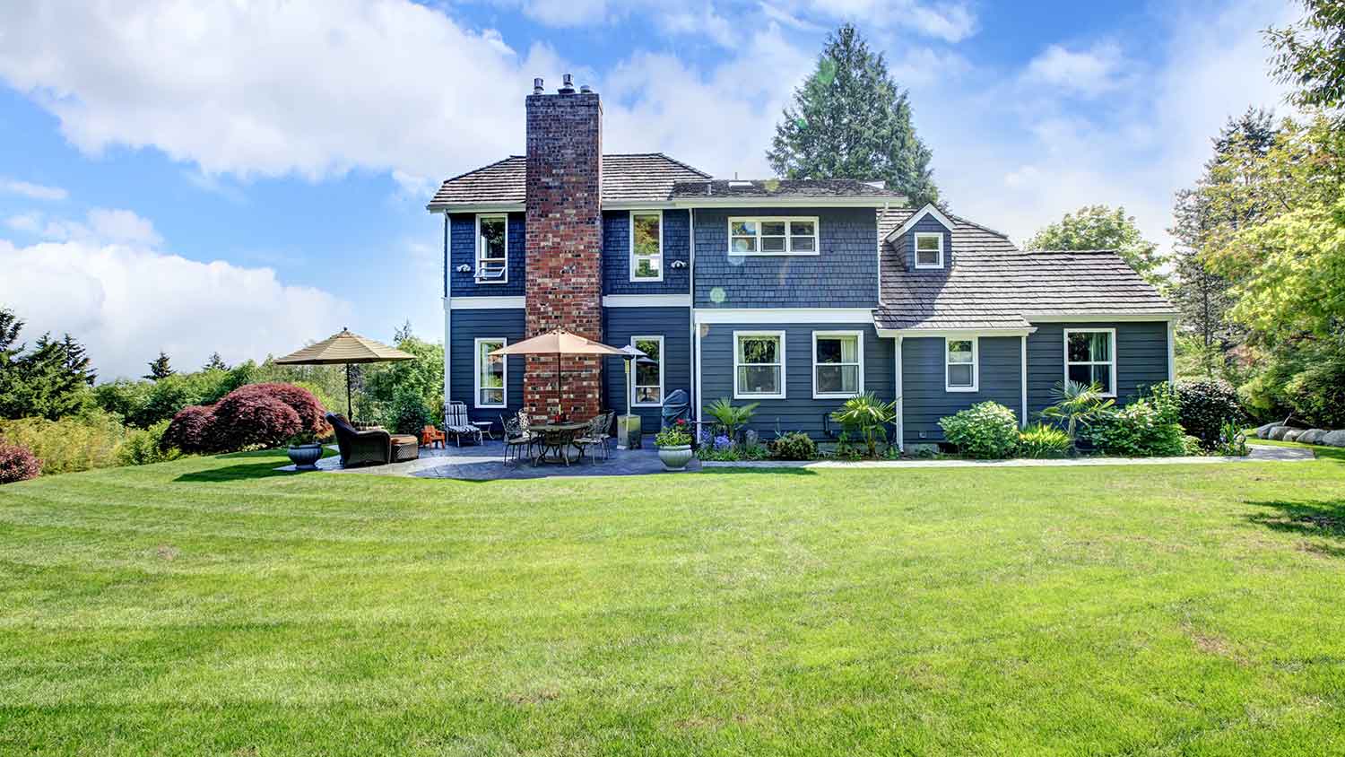
Just bought a plot of land and need to get it build-ready? Learn how much it costs to clear land to gauge your initial budget before you break ground.
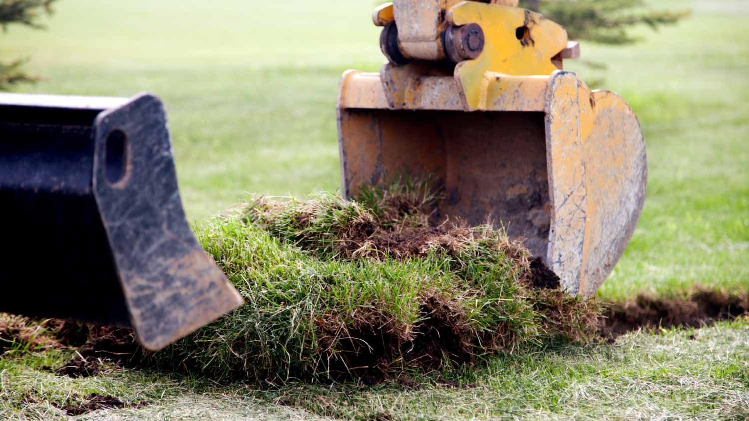
Discover site preparation cost estimates, including average prices, cost factors, and tips to help homeowners budget for their next project.

Gravel is an inexpensive paving material overall, but costs vary by type. Find out what average gravel prices will look like for your project.
Planning a new build or major landscaping? Learn what land clearing and preparation services are, average costs, and how to hire the right local pro.
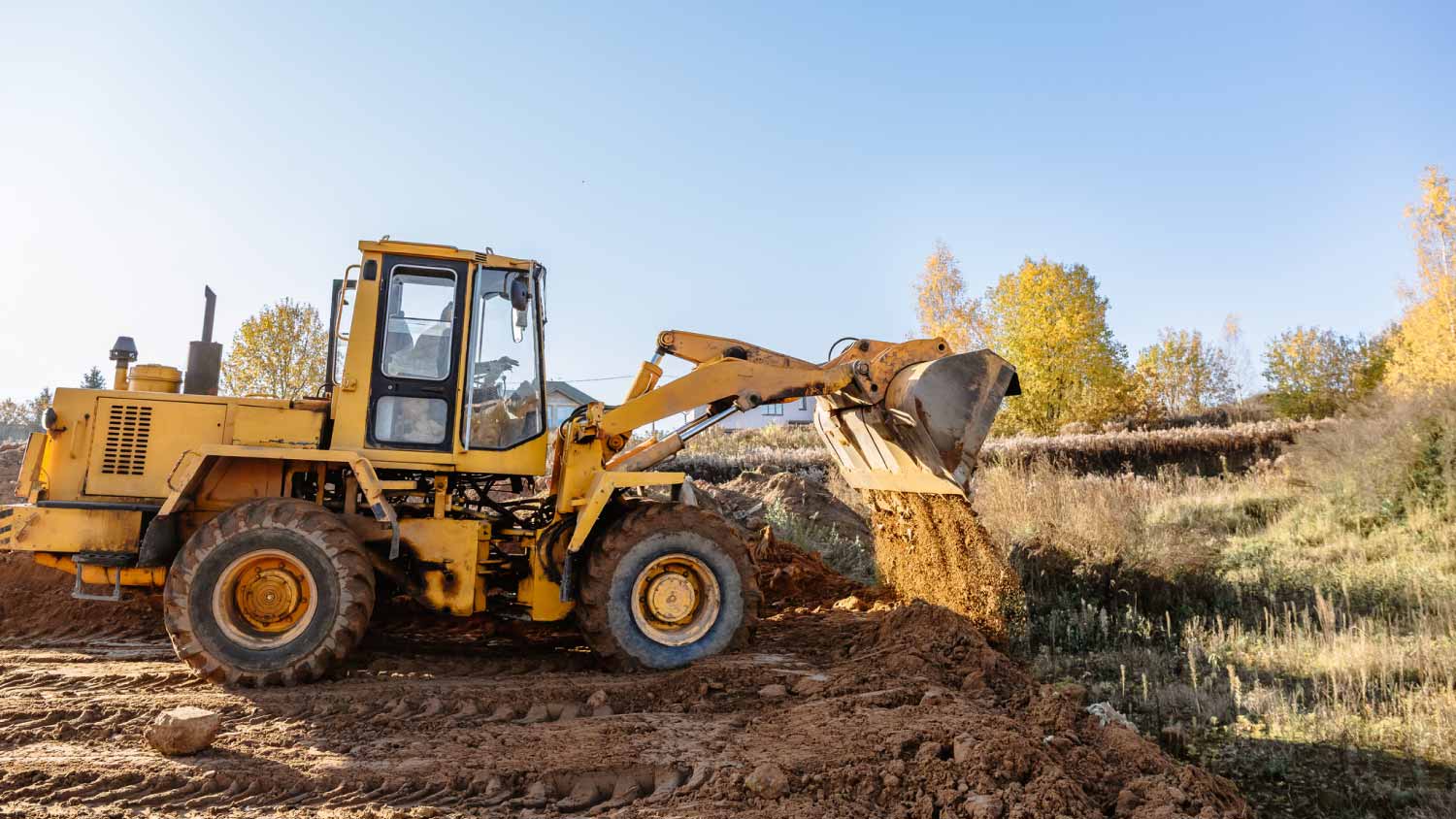
Who do you hire to clear land? Most homeowners choose between a land-clearing specialist and an arborist. This guide will help you pick the right pro.
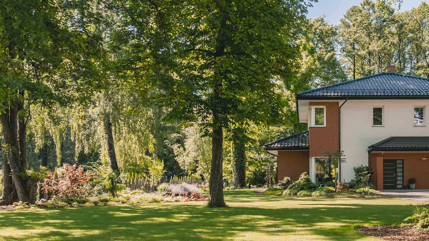
Learn how to hire a forestry mulcher and land-clearing service with these quick and easy tips. Brush clearing has never been easier.