
Get matched with top land surveyors in Westwood, KY
Enter your zip and get matched with up to 5 pros
Need a pro for your land surveying project in Westwood, KY?
Select your specific project to find the pro for you.
Find Land surveyors in Westwood

Plybon Excavating
Plybon Excavating
30 years of experience
Here at Plybon Excavating , we understand our customers. We have been in business for twenty years, and in that time we have served all the septic pump installation needs of the Chesapeake, OH area with dedication and expertise. Because we are committed to providing quality work and excellent customer service, we have become the region’s premier septic service company.
Here at Plybon Excavating , we understand our customers. We have been in business for twenty years, and in that time we have served all the septic pump installation needs of the Chesapeake, OH area with dedication and expertise. Because we are committed to providing quality work and excellent customer service, we have become the region’s premier septic service company.
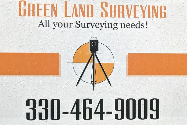
Green Land Surveying Co. LLC
Green Land Surveying Co. LLC
Customers say: Terrific value
31 years of experience
Privately Owned and operated since 1994. One Employee (me) Fully Robotic and GPS enabled Equipment All Work performed by Licensed Professional Surveyor Member of The Professional Land Surveyors of Ohio $750.00 Minimum Fee (Effective 2022/01/01) 2 to 3 Week turnaround time for Survey Report
Privately Owned and operated since 1994. One Employee (me) Fully Robotic and GPS enabled Equipment All Work performed by Licensed Professional Surveyor Member of The Professional Land Surveyors of Ohio $750.00 Minimum Fee (Effective 2022/01/01) 2 to 3 Week turnaround time for Survey Report
Land Surveying questions, answered by experts
The Westwood, KY homeowners’ guide to land surveying services
From average costs to expert advice, get all the answers you need to get your job done.
 •
•Discover site preparation cost estimates, including average prices, cost factors, and tips to help homeowners budget for their next project.

A land survey can determine your property’s borders and settle property disputes. Learn how much a land survey costs and what can affect the price.

Just bought a plot of land and need to get it build-ready? Learn how much it costs to clear land to gauge your initial budget before you break ground.

A land surveyor can perform a land survey and help clarify your property boundaries and features. Use this guide to find the right professional.
 •
•Find out how much an elevation certificate costs, including average prices, cost factors, and tips to save money when hiring a surveyor for your property.

Real estate transactions often require a survey, but who pays for it? Learn who pays for a land survey in most cases and some exceptions to the norm.