"Vaughn & his family are very knowledgeable about grading, brush removal & how to get it done efficiently. He brings in the equipment necessary even if it wasn't his original plan. We had about 1 1/2 acres of brush, weeds & debris that needed to be tamed. We had just moved in to this house & the back area by the basement door had been graded improperly causing water issues. Vaughn had the brush & debris cleared & disked under as well as the back area graded in short time. He has been a huge help to my daughter on her overgrown & unmanaged 6 acres as well. Will highly recommend Wild West in the future."
We guarantee your satisfaction. We pride ourselves on the quality work we provide, while delivering great customer service. Check out our services offered and call or click to schedule an estimate today!\n\n
We pride our company on reliability, great communication, integrity, and quality work. We are experts in our trade and will do our best to keep you as educated as we can on your particular task or project. We look forward to earning your business! Book with us online or feel free to give us a call today!
Land Clearing Services questions, answered by experts
This is fairly rare, but sometimes the local government or a group like a historical society will label a tree as a landmark, or historical item. These designations almost always come with a small, on-site plaque for identification, but you should also be able to look up protected trees in your area on a city website or similar list. If the tree in question is a landmark, call your local government and ask how to proceed before making any plans.
Property lines, building locations, and potential encroachments are mapped.
Yes, new home construction will always require building permits, no matter where you live. In most cases, you’ll need a general construction permit, along with plumbing and electrical permits for the utility lines in your home. Depending on where you live, you’ll likely find that you also need permits for things like connection to a sewage system or installing exterior components, like decks, driveways, patios, and curb cutouts. Leave navigating the permits required for new home construction to a professional to ensure your home is built legally and safely.
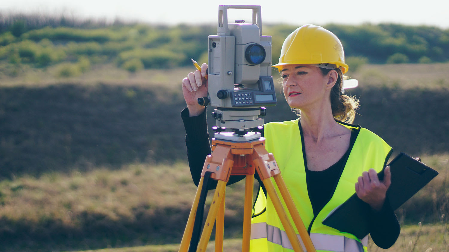
A land survey defines and records the physical aspects of a property, including its boundaries, dimensions, easements, features, and sometimes topographical information. In contrast, a land appraisal determines the property's monetary value. While an appraiser will often consult a land survey to understand the property's physical specifications, the survey itself does not determine the land's value.
Building a road on a slope requires careful planning and will normally require a drainage system underneath to prevent flooding and damage to the road over time. Your professional may lengthen your road to create switchbacks if the slope directly to your home is too steep, as there are regulations for maximum road slope. The drainage system will help prevent runoff from the higher side of the slope from damaging the asphalt or concrete. Keep in mind that building a road on a slope isn’t a good DIY project, as a lot can go wrong.
The Challis, ID homeowners’ guide to land clearing services
From average costs to expert advice, get all the answers you need to get your job done.