

Top-rated land clearing pros.

Get matched with top land clearing pros in Ochlocknee, GA

Enter your zip and get matched with up to 5 pros

Need a pro for your land clearing project in Ochlocknee, GA?

Select your specific project to find the pro for you.

TRUSTED BY OCHLOCKNEE, GA HOMEOWNERS

  • Average homeowner rating star icon4.7
    Average homeowner rating
  • Verified reviews icon70
    Verified land clearing services reviews

Find Land clearing pros in Ochlocknee

Lancore LandSolutions
New to Angi
Building Site - Preparation and Clearing

Serving Ochlocknee, GA and surrounding areas

Approved

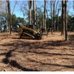
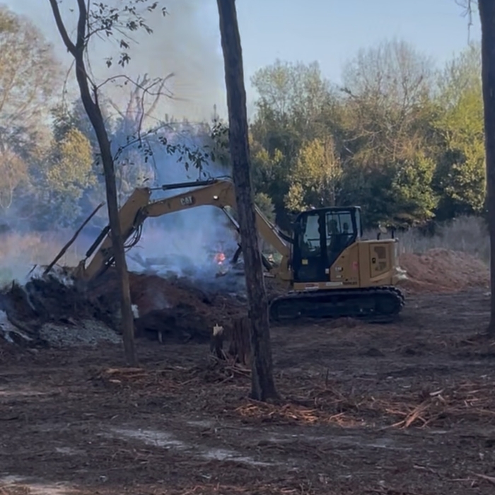
Hey everyone, my name is Hudson Lott. I recently started my own land clearing business and I’m working hard to build a name for myself and my company.\n\nI spent the last 6 years working for other land clearing businesses before deciding to take the leap and go out on my own. I’ve learned a lot over the years, and now I’m putting that experience into my own business.\n\nI take a lot of pride in my work and always strive to leave every property looking right and make sure the landowner is happy with the job. I believe in doing honest work, taking care of my customers, and treating every job like it matters.\n\nI’m just getting started, but I’m excited to see where this business goes. If you or someone you know needs land clearing or property cleanup, I’d appreciate the opportunity to earn your business.

5 neighbors recently requested a quote

...
Showing 1-10 of 56
Land Clearing Services questions, answered by experts

A boundary survey measures the boundary lines of the property, only the length of each property line and their locations. A land survey includes a more in-depth measurement of the property, including the heights and depths of the terrain measured by a topographic survey. A boundary survey is typically the most cost-effective method for marking and measuring property lines.

You will find a collection of licensed land surveyors in your area. Your real estate agent or construction manager may also be able to recommend a trusted professional. When speaking with prospective pros in your area, ask the land surveyor if they are licensed in the state, have liability insurance, and can quote you a fee before starting.

Land survey reports have a boatload of information relevant to several scenarios. Here are the types of information contained with a survey, though it depends on your chosen type of land survey. Exact boundaries and dimensions of a given property General topography, including both natural and artificial landmarks Location of utility fixtures, like water mains Confirmation of any easements or encroachments on a piece of property Assessment of land elevation to buy flood insurance Updated information to add to a pre-existing property map

A land survey includes the layout of a single property, including precise measurements and to-scale drawings of boundary lines, land improvements, and sometimes other features, like topography and drainage information. A plat map includes the layouts and boundary lines of several adjacent plots and basic structure measurements. Surveys are normally more valuable for homeowners and buyers, and plat maps are for governmental use.

This is fairly rare, but sometimes the local government or a group like a historical society will label a tree as a landmark, or historical item. These designations almost always come with a small, on-site plaque for identification, but you should also be able to look up protected trees in your area on a city website or similar list. If the tree in question is a landmark, call your local government and ask how to proceed before making any plans.

The Ochlocknee, GA homeowners’ guide to land clearing services

From average costs to expert advice, get all the answers you need to get your job done.