





Top-rated land clearing pros.

Get matched with top land clearing pros in Salida, CO

Enter your zip and get matched with up to 5 pros

Need a pro for your land clearing project in Salida, CO?

Select your specific project to find the pro for you.

TRUSTED BY SALIDA, CO HOMEOWNERS

  • Average homeowner rating star icon4.8
    Average homeowner rating
  • Verified reviews icon14
    Verified land clearing services reviews

Find Land clearing pros in Salida

Avatar for Mountain Side Custom Contracting
Mountain Side Custom Contracting
3.0(
2
)
Building Site - Preparation and Clearing

Serving Salida, CO and surrounding areas

Approved

In business since 2021

Free estimates

Credit card accepted

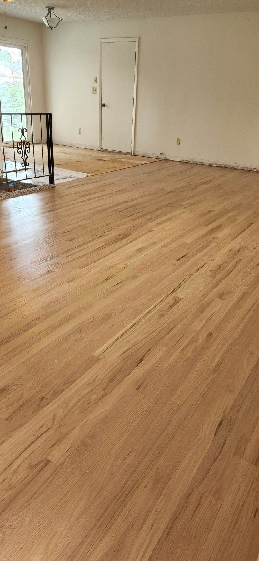
"We hired Mountain Side to paint our condo interior completely and install wood flooring in place of the carpeting that was there. The painting was done with perfect continuity and it turned out fantastic. They made sure to our final walkthrough was done and they did touch up a few areas. The flooring project was amazing. Their attention to the smallest detail was incredible. They were on time everyday and very professional in their demeanor. Exceptionally polite and courteous with us. We’re actually going to miss seeing them everyday and would highly-highly recommend them for any home project you would be interested in."
Response time7 hrs
Response rate86%
2 neighbors recently requested a quote
Showing 1-10 of 33
Land Clearing Services questions, answered by experts

A land survey provides precise property boundaries, reveals legal encroachments, and identifies rights-of-way, minimizing disputes. Understanding the exact dimensions and features of the property aids in informed decision-making and safeguards the buyer's investment.

Measure from zero on a measuring tape by placing the metal hook right up against the edge of what you need to measure. You can also latch the hook onto an open edge—of, say, a table—to accurately measure as well. If you begin at the 1-inch mark, you'll need to subtract an inch from your total.

A land survey includes the layout of a single property, including precise measurements and to-scale drawings of boundary lines, land improvements, and sometimes other features, like topography and drainage information. A plat map includes the layouts and boundary lines of several adjacent plots and basic structure measurements. Surveys are normally more valuable for homeowners and buyers, and plat maps are for governmental use.
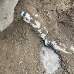
Land survey reports have a boatload of information relevant to several scenarios. Here are the types of information contained with a survey, though it depends on your chosen type of land survey. Exact boundaries and dimensions of a given property General topography, including both natural and artificial landmarks Location of utility fixtures, like water mains Confirmation of any easements or encroachments on a piece of property Assessment of land elevation to buy flood insurance Updated information to add to a pre-existing property map

There are a couple of ways you can determine the depth of your well. One method is to use a device called a well sounder. This tool has a long measuring tape containing a sensor to alert you once the end reaches the water. 

Or you can DIY it by using a long tape measure with a half-filled bottle of water attached to it. Lower the tape measure into your well. Once you feel tension on the tape, you’ll know the bottle has reached your static water level. This will give you an approximate idea of your well’s depth.

The Salida, CO homeowners’ guide to land clearing services

From average costs to expert advice, get all the answers you need to get your job done.