



Top-rated land clearing pros.

Get matched with top land clearing pros in Manteca, CA

Enter your zip and get matched with up to 5 pros

Need a pro for your land clearing project in Manteca, CA?

Select your specific project to find the pro for you.

TRUSTED BY MANTECA, CA HOMEOWNERS

  • Average homeowner rating star icon4.5
    Average homeowner rating
  • Verified reviews icon273
    Verified land clearing services reviews

Find Land clearing pros in Manteca

Avatar for Ultimate Concrete
Ultimate Concrete
4.6(
55
)

Serving Manteca, CA and surrounding areas

In business since 2007

Free estimates

Emergency services offered

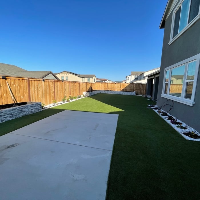
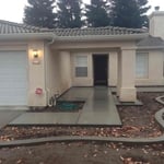
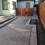
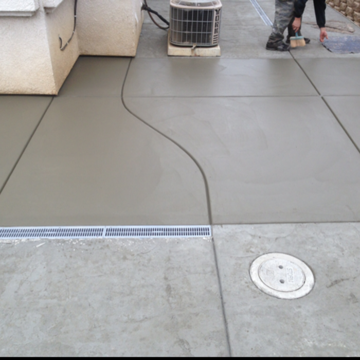
"Dan came out right away and gave an estimate on replacing our 2 car driveway. We decided to expand the side yard to make a 4 car driveway, and he accommodated the day of the start of work. Gave us an awesome price! He and his son were here 3 days, and finished everything. They are clean, professional and friendly. I would recommend Ultimate Concrete to anyone! They do other types of work as well. Thank you Dan!"
Additional Photos
Additional Photos
Additional Photos
Additional Photos
Additional Photos

+5

Recommended by100%of homeowners

Elite Rooter
4.0(
2
)

Serving Manteca, CA and surrounding areas

Credit card accepted

"I hired Elite to look at my sewer line. I was having multiple back ups and was concerned my line was plugged up. The technician came out and asked me a series of questions that helped narrow down the issue. He ran a camera down the line and whatever he been plugging the line up had finally gone threw. He was very professional, knowledgeable and polite. I would definitely hire them again. Kudos to Elite!!!’"
Recommended by100%of homeowners
Showing 1-10 of 18
Land Clearing Services questions, answered by experts

The small lines on the tape measure either indicate inches, fractions of an inch, or centimeters and millimeters. On the imperial unit side (aka the inches side), the longest lines indicate inches, followed by the next shortest lines that indicate a half-inch, and then the quarter, eighth, and sixteenth-inch. On the metric side, the lines break down meters, centimeters, and millimeters.

A land survey includes the layout of a single property, including precise measurements and to-scale drawings of boundary lines, land improvements, and sometimes other features, like topography and drainage information. A plat map includes the layouts and boundary lines of several adjacent plots and basic structure measurements. Surveys are normally more valuable for homeowners and buyers, and plat maps are for governmental use.

With proper training and experience, reading blueprints is fairly straightforward and not very difficult. If you don’t have the necessary knowledge to interpret the symbols, abbreviations, and other notations used, blueprints may not make sense. Learning to read blueprints can help you understand the construction process and keep you more involved and informed when you’re building a house.

A land survey defines and records the physical aspects of a property, including its boundaries, dimensions, easements, features, and sometimes topographical information. In contrast, a land appraisal determines the property's monetary value. While an appraiser will often consult a land survey to understand the property's physical specifications, the survey itself does not determine the land's value.

Professional well contractors may use electromagnetic mapping to look for places with a high likelihood of water. Water access can vary significantly, even on the same property, so it can be difficult to know where to drill if you don’t have specialized tools to look for water.

The Manteca, CA homeowners’ guide to land clearing services

From average costs to expert advice, get all the answers you need to get your job done.