Top-Rated Land surveyors in Lyons - Updated Nov 2026
No results for Land surveyor in
Try adjusting your search criteria.
Land Surveying FAQs, answered by experts
To hire a land surveyor, you need to start by searching online for reputable professionals in your area. Here are a few steps to take when making a shortlist:
Browse land surveyor service website
Check credentials
Read customer reviews
Find their contact information
Call or email to inquire about more information
Ask how far they travel, if you’re some distance away
Find out how they charge for their services
Ask about schedule and turnaround times
Repeat these steps for one to two other services and compare pricing
The small lines on the tape measure either indicate inches, fractions of an inch, or centimeters and millimeters. On the imperial unit side (aka the inches side), the longest lines indicate inches, followed by the next shortest lines that indicate a half-inch, and then the quarter, eighth, and sixteenth-inch. On the metric side, the lines break down meters, centimeters, and millimeters.
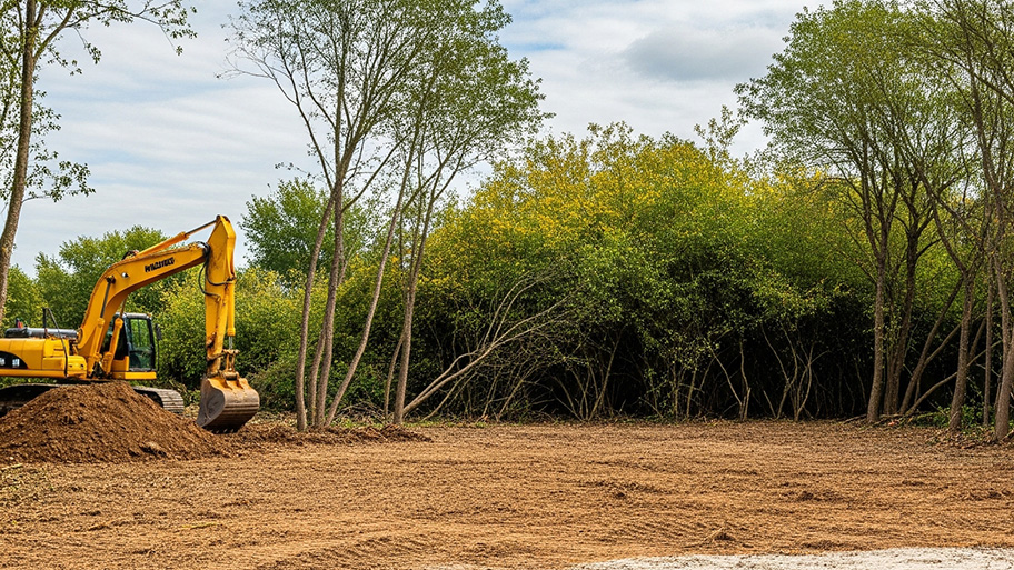
Prior to excavation, you should prepare the dig site and call 311 before you sign anything.
To get your site ready for excavation, you should move anything in the area that isn’t affixed to the land. You can save money on the excavation by removing hardscaping, including walkways, decks, concrete patios, and paver patios.
Before you carry out any digging, you should call 311 to confirm that there are no utility lines running through your excavation site. Skipping this step could lead to severe injury and property damage if your excavator hits a water, sewage, or gas line.
Depending on property size and complexity, usually 1-3 weeks.
A land survey includes the layout of a single property, including precise measurements and to-scale drawings of boundary lines, land improvements, and sometimes other features, like topography and drainage information. A plat map includes the layouts and boundary lines of several adjacent plots and basic structure measurements. Surveys are normally more valuable for homeowners and buyers, and plat maps are for governmental use.
The Lyons, SD homeowners’ guide to land surveying services
From average costs to expert advice, get all the answers you need to get your job done.
Wondering whether you need a land survey or a plot plan? Learn about the differences between the two, when to do each, and what information they provide.