
Get matched with top land surveyors in Ickesburg, PA
Enter your zip and get matched with up to 5 pros
Need a pro for your land surveying project in Ickesburg, PA?
Select your specific project to find the pro for you.
Find Land surveyors in Ickesburg
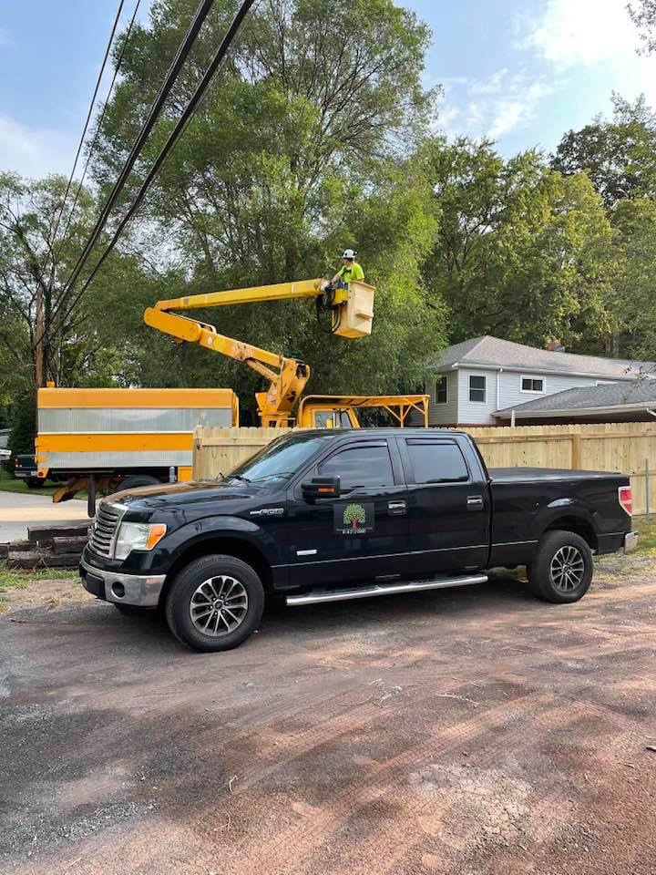
Simmons Tree Service
Simmons Tree Service
5 years of experience
tree trimming, land clearing, storm work, lawn care free estimates. we can do all your needs, at affordable cost. been in the industry many years.
tree trimming, land clearing, storm work, lawn care free estimates. we can do all your needs, at affordable cost. been in the industry many years.
Kreamer Survery Assoc
Kreamer Survery Assoc
32 years of experience
land surveyor company with over 24 years of real experience in the industry.
land surveyor company with over 24 years of real experience in the industry.
Environmental Land Surveying & Solutions
Environmental Land Surveying & Solutions
20 years of experience
Environmental Land Surveying and Solutions (ELSS) is a company of professionals dedicated to delivering superior professional engineering, land surveying, and other related services within the Commonwealth of Pennsylvania and neighboring states.
Environmental Land Surveying and Solutions (ELSS) is a company of professionals dedicated to delivering superior professional engineering, land surveying, and other related services within the Commonwealth of Pennsylvania and neighboring states.
Peters Consultants, Inc.
Peters Consultants, Inc.
49 years of experience
Peters Consultants, Inc. is a full service consulting engineering/design firm located in Berwick and Bloomsburg Pennsylvania, and has provided professional consulting services in the engineering, environmental and land surveying disciplines to municipal, authorities, commercial, industrial and private clients since 1975. We are a leading provider of engineering services in northeastern Pennsylvania by using sound and practical engineering judgment and skills when evaluating potential projects.
Peters Consultants, Inc. is a full service consulting engineering/design firm located in Berwick and Bloomsburg Pennsylvania, and has provided professional consulting services in the engineering, environmental and land surveying disciplines to municipal, authorities, commercial, industrial and private clients since 1975. We are a leading provider of engineering services in northeastern Pennsylvania by using sound and practical engineering judgment and skills when evaluating potential projects.
G Force Engineering Services, LLC
G Force Engineering Services, LLC
15 years of experience
Engineering Services Include: Mine Engineering, Mine permitting, Mine surveying, Civil engineering, Site design, Structural steel & concrete design Municipal plans, Wetland delineation, Storm water management plans, Erosion & sedimentation control plans, Roadway management plans, Water Treatment, Treatment System Management Surveying Services Include: ALTA/ACSM Land Title Surveys, Residential and Commercial Subdivisions, Oil & gas well surveys, Construction surveys, Topographic surveys, Survey grade GPS surveys As built surveys Geologic/Hydrogeological Services Include: Geologic & hydrogeologic studies, Source water analysis, Fracture trace analysis, Core boring analysis, Geophysics evaluation
Engineering Services Include: Mine Engineering, Mine permitting, Mine surveying, Civil engineering, Site design, Structural steel & concrete design Municipal plans, Wetland delineation, Storm water management plans, Erosion & sedimentation control plans, Roadway management plans, Water Treatment, Treatment System Management Surveying Services Include: ALTA/ACSM Land Title Surveys, Residential and Commercial Subdivisions, Oil & gas well surveys, Construction surveys, Topographic surveys, Survey grade GPS surveys As built surveys Geologic/Hydrogeological Services Include: Geologic & hydrogeologic studies, Source water analysis, Fracture trace analysis, Core boring analysis, Geophysics evaluation
Land Surveying questions, answered by experts
The Ickesburg, PA homeowners’ guide to land surveying services
From average costs to expert advice, get all the answers you need to get your job done.
 •
•Discover site preparation cost estimates, including average prices, cost factors, and tips to help homeowners budget for their next project.

A land survey can determine your property’s borders and settle property disputes. Learn how much a land survey costs and what can affect the price.

Just bought a plot of land and need to get it build-ready? Learn how much it costs to clear land to gauge your initial budget before you break ground.
 •
•Find out how much an elevation certificate costs, including average prices, cost factors, and tips to save money when hiring a surveyor for your property.

Boundary surveys and topographic surveys provide important information about a property. Learn the differences between boundary and topographic surveys.

Not sure what kind of property survey you need? Learn about the differences between a land survey vs. a boundary survey to get started.
- Loysville, PA Land surveyors
- Elliottsburg, PA Land surveyors
- New Bloomfield, PA Land surveyors
- Newport, PA Land surveyors
- Shermans Dale, PA Land surveyors
- Plainfield, PA Land surveyors
- Duncannon, PA Land surveyors
- Carlisle, PA Land surveyors
- Newville, PA Land surveyors
- Dickinson, PA Land surveyors
- Marysville, PA Land surveyors
- Liverpool, PA Land surveyors
- Concord, PA Land surveyors
- New Kingstown, PA Land surveyors
- Dauphin, PA Land surveyors