"Ok, well the select from drop down menus don't really apply. I had two men out here for three days removing trees and bushes grown into and around my high-tensile electric fence. They did an excellent job with the removal. They also had to replace the top strand of wire as my husband didn't realize the wire was down and he wrapped a goodly portion around the blades of the shredder. They then checked the entire fence line, made what repairs were needed. Hooked up a new fencer, move the old fencer to a differnt location. They did an excellect job and were easy to work with. I highly recommend this company for your next job. Susan B. St. Paul, NE (actually out in the middle of nowhere)"
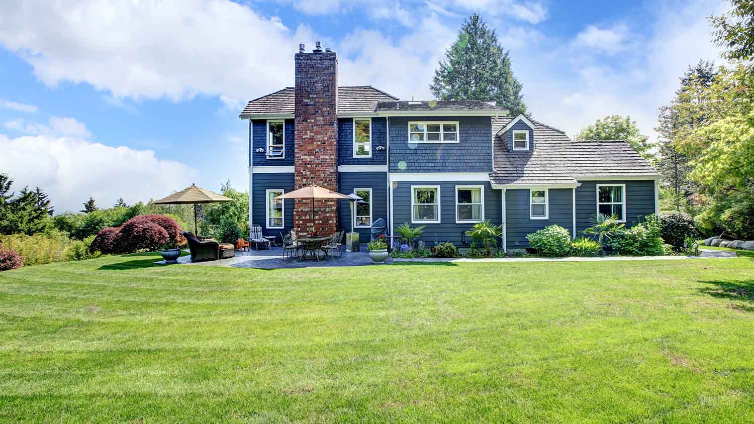
Reliant Construction offers full service home improvement crews, including roofing, siding, windows, and gutters. We service Northern Kansas, Eastern Colorado and the entire state of Nebraska. We will travel to your job request site.
Land Clearing Services questions, answered by experts
A few different types of land surveys can help determine certain features and boundaries of your property. These include:
Boundary surveys describe the actual borders of a property. These are generally required when trying to get construction permits issued.
Location surveys provide much of the same information as a boundary survey but also include in-depth information about any improvements made to your property.
Mortgage location surveys are usually required by lenders and title companies before financing or offering an insurance policy.
Site-planning surveys are done before applying for building permits and can be issued before any major home improvements.
Topographic surveys provide a formal map of land elevations. It can also describe the location and size of natural features and any land improvements.
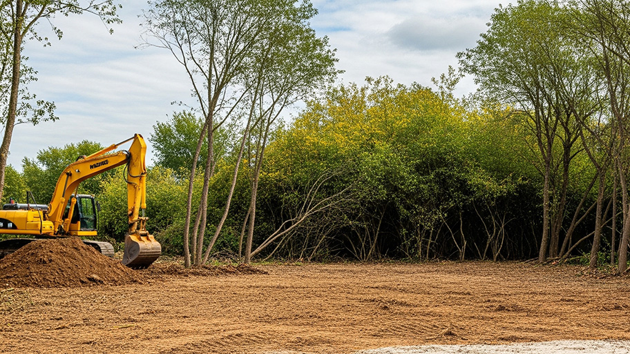
You can’t build on undeveloped land without preparing it for construction, which involves running utilities to the site or accounting for private utilities like wells and septic systems and grading and compacting the soil for safe construction. Once you prepare the land, you can build on it as long as the project abides by local zoning regulations.
A professional land surveyor ensures accurate property boundaries and prevent legal disputes.
Before property transactions or major improvements to ensure accuracy.
Several government-backed lending programs can help first-time home buyers purchase a home with little money down. FHA, USDA, and VA loans are options for qualifying borrowers, though many conventional mortgage lenders will lower down payment rates to as low as 3 percent.
The Stuart, NE homeowners’ guide to land clearing services
From average costs to expert advice, get all the answers you need to get your job done.