


Top-rated land clearing pros.

Get matched with top land clearing pros in Bloomfield, NE

Enter your zip and get matched with up to 5 pros

Need a pro for your land clearing project in Bloomfield, NE?

Select your specific project to find the pro for you.

Find Land clearing pros in Bloomfield

Bolling Excavating
New to Angi
Building Site - Preparation and ClearingBuilding Site - Preparation and Clearing - For Business

Serving Bloomfield, NE and surrounding areas

In business since 2013

Free estimates

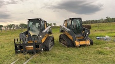
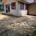
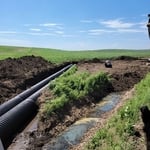
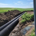
Bolling Excavating is Antelope County's premiere commercial & residential excavation company. With over a decade's worth of experience in the industry, we're considered masters within the trade. Regardless of the size & scope of your project, we ensure total customer satisfaction each and every time. Our approach to each project is calculated with an exceptional attention to detail, in addition to expert craftsmanship. The next time you're in the market for professional excavating, give us a call!

Land Clearing Services questions, answered by experts

Depending on the type of land survey, the report will mark the boundaries of your property, the topographical changes of the landscape, as well as major natural and added structures to the plot. A more detailed survey, like an as-built survey, will note the measurements of the structures and landscape following major construction. A topographic survey will also help your contractor determine the cost of land development projects.

You can’t build on undeveloped land without preparing it for construction, which involves running utilities to the site or accounting for private utilities like wells and septic systems and grading and compacting the soil for safe construction. Once you prepare the land, you can build on it as long as the project abides by local zoning regulations.

Detailed mapping of elevation changes and natural features on the property.

Professional well contractors may use electromagnetic mapping to look for places with a high likelihood of water. Water access can vary significantly, even on the same property, so it can be difficult to know where to drill if you don’t have specialized tools to look for water.

A land survey includes the layout of a single property, including precise measurements and to-scale drawings of boundary lines, land improvements, and sometimes other features, like topography and drainage information. A plat map includes the layouts and boundary lines of several adjacent plots and basic structure measurements. Surveys are normally more valuable for homeowners and buyers, and plat maps are for governmental use.

The Bloomfield, NE homeowners’ guide to land clearing services

From average costs to expert advice, get all the answers you need to get your job done.