"Great value job was done professionally and on time. Guys working were respectful and professional. Sis exactly what was asked and even added some on. Would recommend would use again."
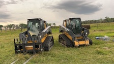
My name is Oakley I started this company 3 years ago at the age of 20 because I knew a lot of people who wanted land cleared and there was a demand and nobody really did it so my objective is always too build a great relationship with the customer and get the job done right.
Clifton Land Leveling and Excavation is committed to excellence in every aspect of our business. We uphold a standard of integrity bound by fairness, honesty and personal responsibility. Our distinction is the quality of service we bring to our customers. Accurate knowledge of our trade combined with ability is what makes us true professionals. Above all, we are watchful of our customers interests, and make their concerns the basis of our business.
Reliant Construction offers full service home improvement crews, including roofing, siding, windows, and gutters. We service Northern Kansas, Eastern Colorado and the entire state of Nebraska. We will travel to your job request site.
Land Clearing Services questions, answered by experts
The small lines on the tape measure either indicate inches, fractions of an inch, or centimeters and millimeters. On the imperial unit side (aka the inches side), the longest lines indicate inches, followed by the next shortest lines that indicate a half-inch, and then the quarter, eighth, and sixteenth-inch. On the metric side, the lines break down meters, centimeters, and millimeters.
Detailed mapping of elevation changes and natural features on the property.
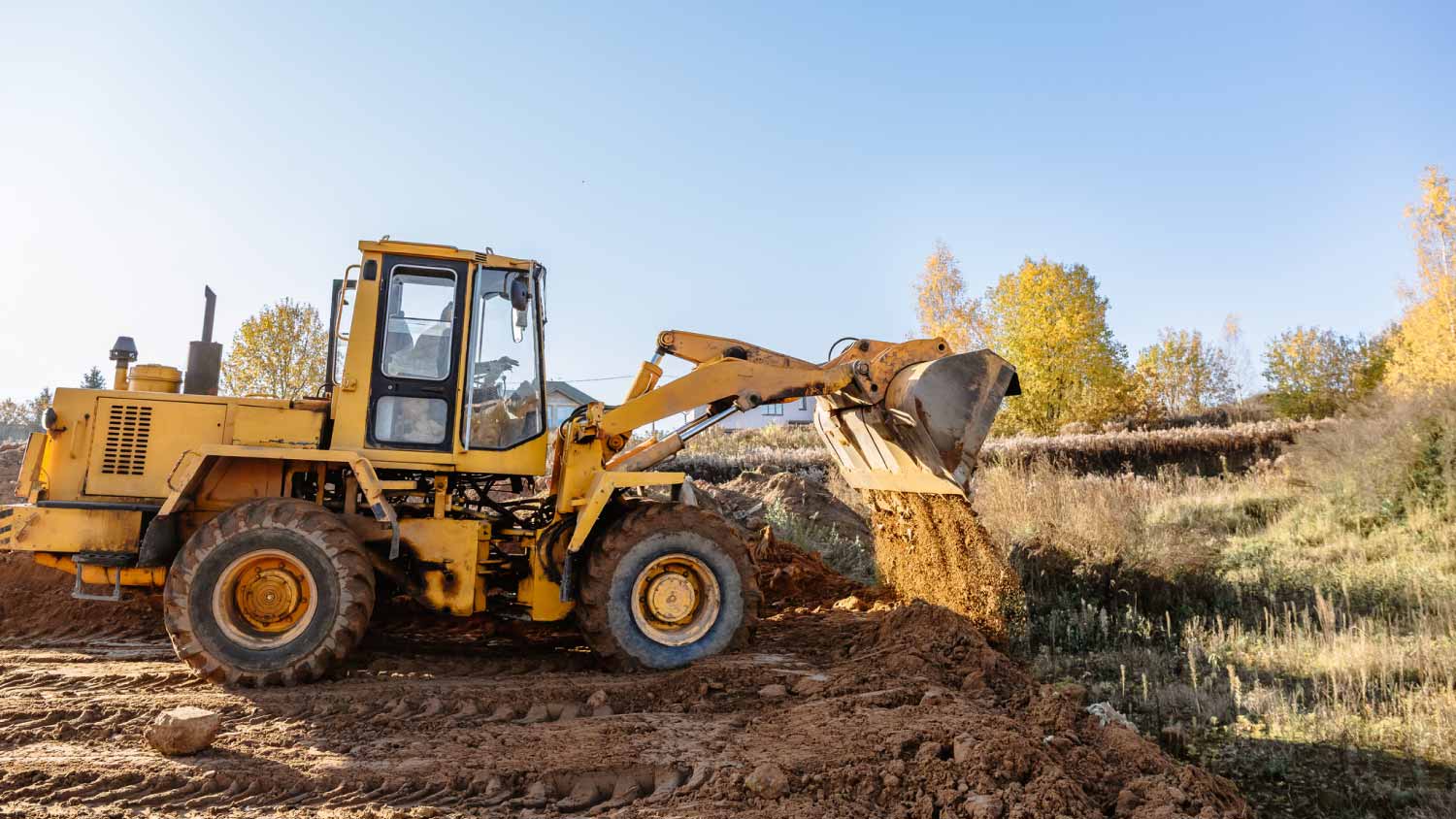
You can’t build on undeveloped land without preparing it for construction, which involves running utilities to the site or accounting for private utilities like wells and septic systems and grading and compacting the soil for safe construction. Once you prepare the land, you can build on it as long as the project abides by local zoning regulations.
Property lines, building locations, and potential encroachments are mapped.
A boundary survey measures the boundary lines of the property, only the length of each property line and their locations. A land survey includes a more in-depth measurement of the property, including the heights and depths of the terrain measured by a topographic survey. A boundary survey is typically the most cost-effective method for marking and measuring property lines.
The Sargent, NE homeowners’ guide to land clearing services
From average costs to expert advice, get all the answers you need to get your job done.