



Top-rated land clearing pros.

Best land clearing pros near State Road, NC

Enter your zip and get matched with up to 5 pros

Need a pro for your land clearing project in State Road, NC?

Select your specific project to find the pro for you.

TRUSTED BY STATE ROAD, NC HOMEOWNERS

  • Average homeowner rating star icon4.7
    Average homeowner rating
  • Verified reviews icon155
    Verified land clearing services reviews

Top-Rated Land clearing pros in State Road - Updated Nov 2026

Avatar for Stonecrest construction
Stonecrest construction
5.0(
2
)
Building Site - Preparation and Clearing

Serving State Road, NC and surrounding areas

Approved

Free estimates

Emergency services offered

Warranties offered

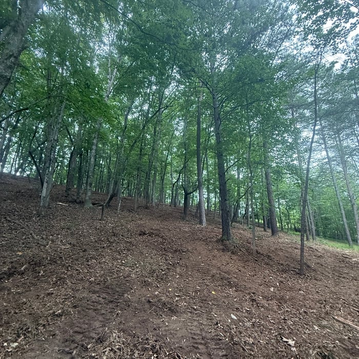
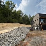
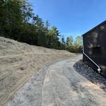
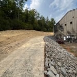
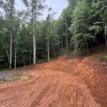
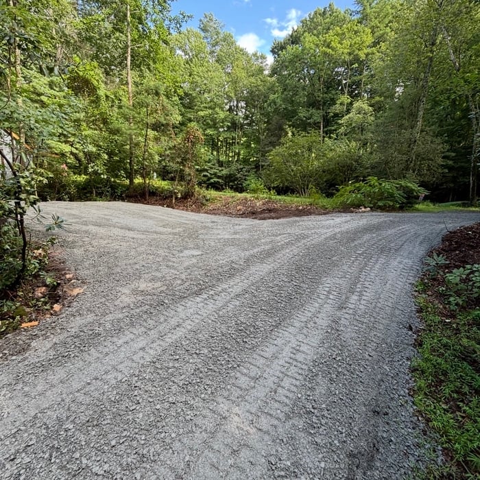
"Excellent work from start to finish! I hired Stonecrest Construction to clear trees, level and prepare a pad for a future garage, and install a new driveway off of my existing driveway. They removed the grass, properly graded everything, and created a solid, clean driveway and garage pad. I’m extremely impressed with how everything turned out. The work was done professionally, efficiently, and with great attention to detail. They completely transformed the area and left everything looking clean and well-finished. I would absolutely recommend Stonecrest Construction to anyone needing excavation, grading, land clearing, or driveway work. Great company and great work!"
Drainage Rock
Seed & Straw Mat
Erosion Control
Driveway Grading
Grade & Gravel

+13

1 neighbors recently requested a quote
Helton Grading, Inc.
New to Angi
Building Site - Preparation and Clearing

Serving State Road, NC and surrounding areas

Approved

In business since 1981

Free estimates

Credit card accepted

HELTON GRADING INC is committed to excellence in every aspect of our business. We uphold a standard of integrity bound by fairness, honesty, and personal responsibility. Our distinction is the quality of service we bring to our customers. Accurate knowledge of our trade combined with ability is what makes us true professionals. Above all, we are watchful of our customers' interests and make their concerns the basis of our business.

...
Showing 1-10 of 64
Land Clearing Services FAQs, answered by experts

When considering the price of drilling a well, factor in how much you’ll save in water costs per year. The average family of four uses 100 gallons of water per person per day in the U.S. With a private water well, you can save hundreds each year.

Wells are also environmentally friendly. You don’t need to worry about drinking water treated with chemicals. Talk to at least three well pump contractors in your area. They’ll be able to tell you more about your options, give you different quotes, and discuss the biggest concerns.

A land survey can take anywhere from a few hours to a month or more, depending on the size of the property, the type of survey, the property’s accessibility and topography, and the availability of historical property records. A simple boundary survey to determine a fence line can be completed in a day while surveying 50 acres of undeveloped woodlands may take weeks or longer.

ALTA/ACSM surveys are the most comprehensive type of land survey and, as such, tend to be the most expensive. These surveys have standardized guidelines and reports and are used in many kinds of real estate transactions to ensure consistent and accurate information is available for properties.

A few different types of land surveys can help determine certain features and boundaries of your property. These include:

  • Boundary surveys describe the actual borders of a property. These are generally required when trying to get construction permits issued. 

  • Location surveys provide much of the same information as a boundary survey but also include in-depth information about any improvements made to your property. 

  • Mortgage location surveys are usually required by lenders and title companies before financing or offering an insurance policy. 

  • Site-planning surveys are done before applying for building permits and can be issued before any major home improvements. 

  • Topographic surveys provide a formal map of land elevations. It can also describe the location and size of natural features and any land improvements.

The small lines on the tape measure either indicate inches, fractions of an inch, or centimeters and millimeters. On the imperial unit side (aka the inches side), the longest lines indicate inches, followed by the next shortest lines that indicate a half-inch, and then the quarter, eighth, and sixteenth-inch. On the metric side, the lines break down meters, centimeters, and millimeters.

The State Road, NC homeowners’ guide to land clearing services

From average costs to expert advice, get all the answers you need to get your job done.