
Top-rated land clearing pros.

Get matched with top land clearing pros in Mcgregor, MN

Enter your zip and get matched with up to 5 pros

Need a pro for your land clearing project in Mcgregor, MN?

Select your specific project to find the pro for you.

TRUSTED BY MCGREGOR, MN HOMEOWNERS

  • Average homeowner rating star icon4.7
    Average homeowner rating
  • Verified reviews icon19
    Verified land clearing services reviews

Find Land clearing pros in Mcgregor

T & T Clearing and Excavation
New to Angi
Building Site - Preparation and Clearing

Serving Mcgregor, MN and surrounding areas

In business since 2020

Free estimates

Offers commercial services

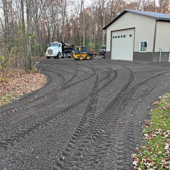
TNT Clearing and Excavation We uphold a standard of integrity bound by fairness, honesty and personal responsibility. Our distinction is the quality of service we bring to our customers. Accurate knowledge of our trade combined with ability is what makes us true professionals. Above all, we are watchful of our customers interests, and make their concerns the basis of our business.

Land Clearing Services questions, answered by experts

When planning for land survey costs, you should consider the following elements as major contributors to the overall cost:

  • Size of your property in terms of acres or square feet

  • Complexity of the terrain in terms of hills, elevation changes, rocks, water, and other features

  • Type of survey you need (boundary survey, topographic survey, or a combination of survey types)

  • Distance traveled for the professional surveyor

A land survey can take anywhere from a few hours to a month or more, depending on the size of the property, the type of survey, the property’s accessibility and topography, and the availability of historical property records. A simple boundary survey to determine a fence line can be completed in a day while surveying 50 acres of undeveloped woodlands may take weeks or longer.

Professional well contractors may use electromagnetic mapping to look for places with a high likelihood of water. Water access can vary significantly, even on the same property, so it can be difficult to know where to drill if you don’t have specialized tools to look for water.

Property lines, building locations, and potential encroachments are mapped.

A land survey includes the layout of a single property, including precise measurements and to-scale drawings of boundary lines, land improvements, and sometimes other features, like topography and drainage information. A plat map includes the layouts and boundary lines of several adjacent plots and basic structure measurements. Surveys are normally more valuable for homeowners and buyers, and plat maps are for governmental use.

The Mcgregor, MN homeowners’ guide to land clearing services

From average costs to expert advice, get all the answers you need to get your job done.