Get matched with top land surveyors in Paw Paw, MI
Enter your ZIP and get matched with up to 5 pros
Need a pro for your land surveying project in Paw Paw, MI?
Verified Reviews for Land Surveying pros in Paw Paw, MI
*The Angi rating for Land Surveying companies in Paw Paw, MI is a rating based on verified reviews from our community of homeowners who have used these pros to meet their Land Surveying needs.
*The HomeAdvisor rating for Land Surveying companies in Paw Paw, MI is a rating based on verified reviews from our community of homeowners who have used these pros to meet their Land Surveying needs.
Last update on November 15, 2025
Find Land surveyors in Paw Paw

CH&E SERVICES
CH&E SERVICES
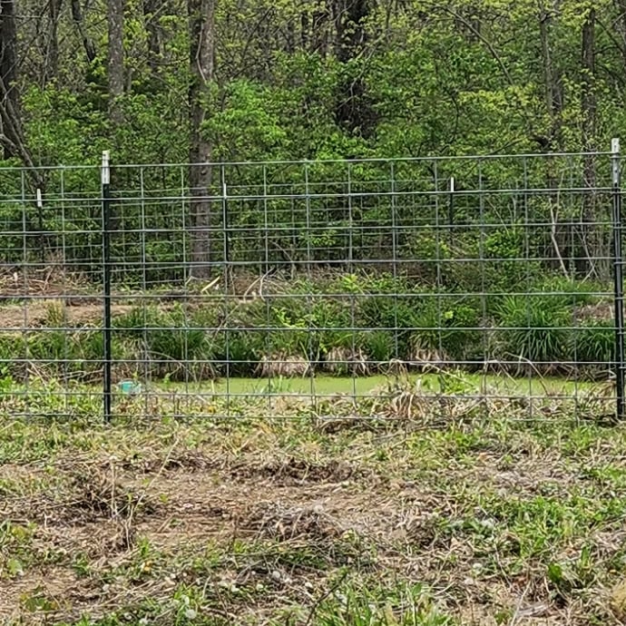
HI! Welcome to my page. If your looking for construction, general handyman services or land clearing of vegetation specifically in or around your lagoon, contact me today for a free quote.
"Chris did a great job"
Tourya T on March 2025
HI! Welcome to my page. If your looking for construction, general handyman services or land clearing of vegetation specifically in or around your lagoon, contact me today for a free quote.
"Chris did a great job"
Tourya T on March 2025
Stephenson Land Surveying
Stephenson Land Surveying
Stephenson Land Surveying provides high quality surveying and engineering services that meet your needs and deadline. Our professional staff will help you with your land surveying projects including boundary surveys, topographical surveys, site plans, construction staking, mortgage reports, & land division act consultations. Engineering services include subdivision layout & design, site condominium design & layout, mobile home park layout, water & sewer design, and road design & layout. Our use of GIS and GPS produces optimal results.
Stephenson Land Surveying provides high quality surveying and engineering services that meet your needs and deadline. Our professional staff will help you with your land surveying projects including boundary surveys, topographical surveys, site plans, construction staking, mortgage reports, & land division act consultations. Engineering services include subdivision layout & design, site condominium design & layout, mobile home park layout, water & sewer design, and road design & layout. Our use of GIS and GPS produces optimal results.
Lemke Land Surveying Inc
Lemke Land Surveying Inc
We are owner operated and typically have 2 to 3 employees. All cost estimates are provided free of charge and include all costs.
We are owner operated and typically have 2 to 3 employees. All cost estimates are provided free of charge and include all costs.
The Paw Paw, MI homeowners’ guide to land surveying services
From average costs to expert advice, get all the answers you need to get your job done.
 •
•Discover site preparation cost estimates, including average prices, cost factors, and tips to help homeowners budget for their next project.

A land survey can determine your property’s borders and settle property disputes. Learn how much a land survey costs and what can affect the price.

Just bought a plot of land and need to get it build-ready? Learn how much it costs to clear land to gauge your initial budget before you break ground.

What is a property line? Find out everything you need to know about property lines, from easements to where to build a fence and how land surveys work.

If you've just been told that you need a land survey to continue your project, what time of land survey do you really need? Here are eight main options.

Land surveys provide an accurate record of your property. Learn how long a land survey is good for and when you should have your property resurveyed.
- Window Cleaning in Paw Paw
- Window Cleaning in Paw Paw
- Snow Removal in Paw Paw
- House Cleaning in Paw Paw
- Lawn Mower Repair in Paw Paw
- Trampoline Assembly in Paw Paw
- Sink Installation in Paw Paw
- Plumbing in Paw Paw
- Electrical in Paw Paw
- Handyman Service in Paw Paw
- Landscaping in Paw Paw
- Roofing in Paw Paw
- Locksmiths in Paw Paw
- Hvac in Paw Paw
- Lawn Care in Paw Paw
- Air Duct Cleaning in Paw Paw
- Painting in Paw Paw
- Appliance Repair in Paw Paw
- Lawn And Yard Work in Paw Paw
- Interior Painting in Paw Paw
- Ev Charger Installer in Paw Paw
- Drain Cleaning in Paw Paw
- Contractor in Paw Paw
- Gutter Cleaning in Paw Paw
- Pressure Washing in Paw Paw
- Boiler Repair in Paw Paw
- Flooring in Paw Paw
- Exterior Painting in Paw Paw
- Foundation Repair in Paw Paw


