
Get matched with top land surveyors in Assonet, MA
Enter your ZIP and get matched with up to 5 pros
Need a pro for your land surveying project in Assonet, MA?
Select your specific project to find the pro for you.
TRUSTED BY ASSONET, MA HOMEOWNERS
 3.8 Average homeowner rating
 11 Verified land surveying services reviews
Verified Reviews for Land Surveying pros in Assonet, MA
*The Angi rating for Land Surveying companies in Assonet, MA is a rating based on verified reviews from our community of homeowners who have used these pros to meet their Land Surveying needs.
*The HomeAdvisor rating for Land Surveying companies in Assonet, MA is a rating based on verified reviews from our community of homeowners who have used these pros to meet their Land Surveying needs.
Last update on November 25, 2025


Find Land surveyors in Assonet
Northeast Geospatial Consultants
Northeast Geospatial Consultants
Northeast Geospatial Consultants is a land surveying and remote sensing firm that provides a wide range of services to businesses and individuals. We have a team of experienced and qualified surveyors who are committed to providing accurate, reliable, and timely services. Our specialties include: Boundary surveys Topographic surveys As-built surveys Subdivision surveys Lot and fence staking Site layout Zoning and permitting assistance Legal descriptions ...and more We are committed to providing our clients with the highest quality of service. We use the latest technology and techniques to ensure that our surveys are accurate and up-to-date. If you are looking for a land surveying or remote sensing firm that can provide you with accurate, reliable, and timely services, then Northeast Geospatial Consultants is the right choice for you. Contact us today to learn more about our services and to schedule a consultation.
Northeast Geospatial Consultants is a land surveying and remote sensing firm that provides a wide range of services to businesses and individuals. We have a team of experienced and qualified surveyors who are committed to providing accurate, reliable, and timely services. Our specialties include: Boundary surveys Topographic surveys As-built surveys Subdivision surveys Lot and fence staking Site layout Zoning and permitting assistance Legal descriptions ...and more We are committed to providing our clients with the highest quality of service. We use the latest technology and techniques to ensure that our surveys are accurate and up-to-date. If you are looking for a land surveying or remote sensing firm that can provide you with accurate, reliable, and timely services, then Northeast Geospatial Consultants is the right choice for you. Contact us today to learn more about our services and to schedule a consultation.
Bay state land surveying associates inc.
Bay state land surveying associates inc.
We are a owner- operated land surveying company that has been in service for 50 plus years located in Beverly MA. We specialize in business and property land surveying. We back our work !!! honest and reliable!!!
We are a owner- operated land surveying company that has been in service for 50 plus years located in Beverly MA. We specialize in business and property land surveying. We back our work !!! honest and reliable!!!
North End Lawn Care
North End Lawn Care
Free onsite estimate
Family owned and operated; guaranteed satisfaction of work performed. Every job we accept, we will always complete even if it goes over our hours of operation. We pride ourselves on the quality and performance of the work we do, while also delivering outstanding customer service. Please call us to schedule your free estimate TODAY!!!!
Family owned and operated; guaranteed satisfaction of work performed. Every job we accept, we will always complete even if it goes over our hours of operation. We pride ourselves on the quality and performance of the work we do, while also delivering outstanding customer service. Please call us to schedule your free estimate TODAY!!!!

Possible Drones LLC
Possible Drones LLC
Free onsite estimate
Possible Drones offering; Photography, Aerial Photography, Aerial Videography, Drone Services, Drones in Agriculture, Aerial Mapping and Surveying, Real Estate Photography, Drone Pilot, Event Live Streaming, Aerial Inspections. Located in South Coast Massachusetts, Possible Drones is dedicated to providing you the best drone service for your budget. We’ve been striving to create lasting relationships with our customers, and guarantee that they can count on us for quality services with zero hassles. Let us know what we can do for you or your company by giving us a call.
Possible Drones offering; Photography, Aerial Photography, Aerial Videography, Drone Services, Drones in Agriculture, Aerial Mapping and Surveying, Real Estate Photography, Drone Pilot, Event Live Streaming, Aerial Inspections. Located in South Coast Massachusetts, Possible Drones is dedicated to providing you the best drone service for your budget. We’ve been striving to create lasting relationships with our customers, and guarantee that they can count on us for quality services with zero hassles. Let us know what we can do for you or your company by giving us a call.
K Vieira Excavation
K Vieira Excavation
We are a family owned business and specialize in septic and drainpipe systems, water service, retaining walls, foundations, gravel and stone driveways, land clearing, and grading
We are a family owned business and specialize in septic and drainpipe systems, water service, retaining walls, foundations, gravel and stone driveways, land clearing, and grading

Commonwealth Land Surveyors, Inc.
Commonwealth Land Surveyors, Inc.
27 years of experience
We provide comprehensive land surveying services from single residential homes to large commercial properties. Owned by a registered professional land surveyor licensed in both MA & RI, we can guarantee professional services with competitive rates and complete client satisfaction. We offer a variety of services including *FEMA Flood Elevation Certificate *Topographic Mapping *ALTA Surveys *Roadway Construction Layout *Bridge Design Layout *Residential Development/Subdivisions Layout *Foundation Layout *Septic Systems *Property Surveys *Perimeter Surveys *GPS (Global Positioning Survey) *Utility Design *Robotic Stationing *Expert Witness Testimony *Surface Monitoring *Land Court Survey. We take pride in being a local small business independently owned and operated since 1998.
We provide comprehensive land surveying services from single residential homes to large commercial properties. Owned by a registered professional land surveyor licensed in both MA & RI, we can guarantee professional services with competitive rates and complete client satisfaction. We offer a variety of services including *FEMA Flood Elevation Certificate *Topographic Mapping *ALTA Surveys *Roadway Construction Layout *Bridge Design Layout *Residential Development/Subdivisions Layout *Foundation Layout *Septic Systems *Property Surveys *Perimeter Surveys *GPS (Global Positioning Survey) *Utility Design *Robotic Stationing *Expert Witness Testimony *Surface Monitoring *Land Court Survey. We take pride in being a local small business independently owned and operated since 1998.
Marc N. Nyberg Associates
Marc N. Nyberg Associates
34 years of experience
Marc N. Nyberg Associates, Inc. is a land surveying and planning firm operating throughout Rhode Island and portions of Massachusetts. Established in 1991, our qualified and skillful staff are eager to assist you on your next residential or commercial project.
Marc N. Nyberg Associates, Inc. is a land surveying and planning firm operating throughout Rhode Island and portions of Massachusetts. Established in 1991, our qualified and skillful staff are eager to assist you on your next residential or commercial project.
Roosevelt Construction
Roosevelt Construction
37 years of experience
General Contractors ..All Trades In house Employees..Subcontracting Trades..
General Contractors ..All Trades In house Employees..Subcontracting Trades..
Canavan & Associates, Inc.
Canavan & Associates, Inc.
Free onsite estimate
Full Service Land Surveying Firm Currently employ 6 field crews envolved in survey projects rangeing in size from the simple lot survey to the largest building construction projects in Boston. This company's main business philosophy is we treat EACH customer/project as if it was our ONLY customer/project. Attention to service is one of our main competitive advantages, with the number of crews we employ are able to adjust our schedule at a moments notice in order to meet our clients needs.
Full Service Land Surveying Firm Currently employ 6 field crews envolved in survey projects rangeing in size from the simple lot survey to the largest building construction projects in Boston. This company's main business philosophy is we treat EACH customer/project as if it was our ONLY customer/project. Attention to service is one of our main competitive advantages, with the number of crews we employ are able to adjust our schedule at a moments notice in order to meet our clients needs.
Land Surveying questions, answered by experts
The Assonet, MA homeowners’ guide to land surveying services
From average costs to expert advice, get all the answers you need to get your job done.
 •
•Discover site preparation cost estimates, including average prices, cost factors, and tips to help homeowners budget for their next project.

A land survey can determine your property’s borders and settle property disputes. Learn how much a land survey costs and what can affect the price.

Just bought a plot of land and need to get it build-ready? Learn how much it costs to clear land to gauge your initial budget before you break ground.

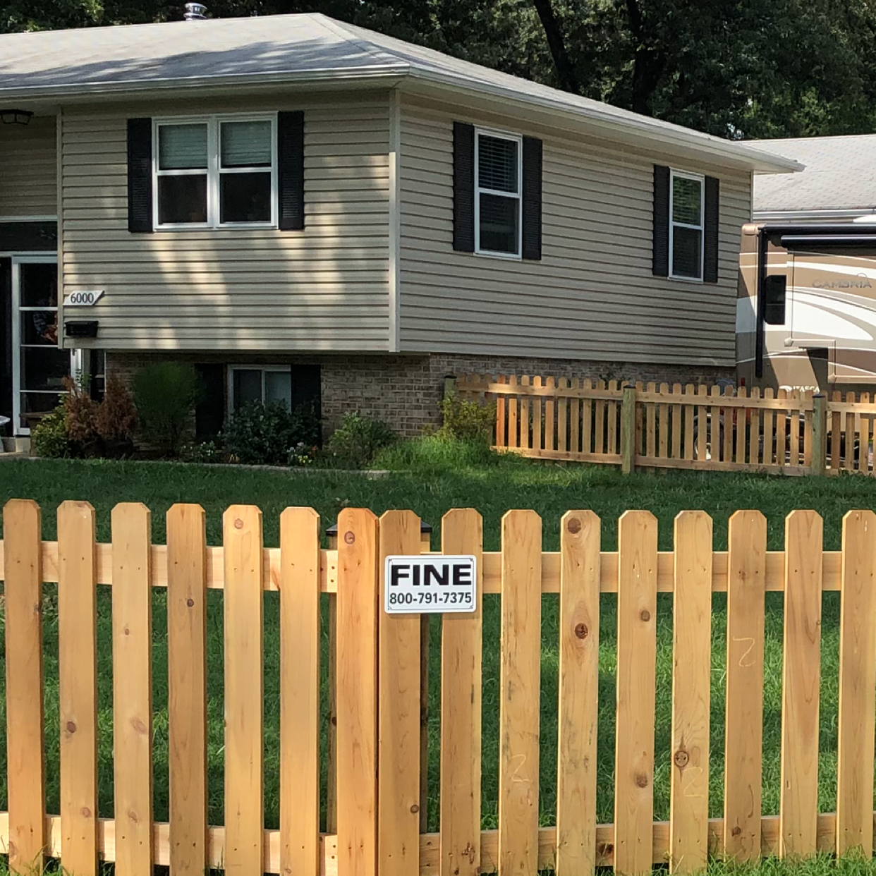
If you've just been told that you need a land survey to continue your project, what time of land survey do you really need? Here are eight main options.

Land surveys provide an accurate record of your property. Learn how long a land survey is good for and when you should have your property resurveyed.

Real estate transactions often require a survey, but who pays for it? Learn who pays for a land survey in most cases and some exceptions to the norm.
- Berkley, MA Land surveyors
- Dighton, MA Land surveyors
- East Freetown, MA Land surveyors
- East Taunton, MA Land surveyors
- North Dighton, MA Land surveyors
- Lakeville, MA Land surveyors
- Somerset, MA Land surveyors
- Taunton, MA Land surveyors
- Fall River, MA Land surveyors
- Swansea, MA Land surveyors
- Raynham, MA Land surveyors
- Raynham Center, MA Land surveyors
- Middleboro, MA Land surveyors
- Acushnet, MA Land surveyors
- Rehoboth, MA Land surveyors
- North Dartmouth, MA Land surveyors
- Rochester, MA Land surveyors
- Warren, RI Land surveyors
- New Bedford, MA Land surveyors
- Westport, MA Land surveyors
- Bristol, RI Land surveyors
- Barrington, RI Land surveyors
- Tiverton, RI Land surveyors
- Norton, MA Land surveyors
- Seekonk, MA Land surveyors
- Bridgewater, MA Land surveyors
- Fairhaven, MA Land surveyors
- South Dartmouth, MA Land surveyors
- West Bridgewater, MA Land surveyors
- West Wareham, MA Land surveyors
What do you need done? We’ll find top pros.
- 🌱 "Mow a small front yard"
- 🛠 "Fix a leaking pipe under the sink"
- 🏠 "Repair shingles on an asphalt roof"