
Get matched with top land surveyors in Deville, LA
Enter your zip and get matched with up to 5 pros
Need a pro for your land surveying project in Deville, LA?
Select your specific project to find the pro for you.
Verified Reviews for Land Surveying pros in Deville, LA
*The Angi rating for Land Surveying companies in Deville, LA is a rating based on verified reviews from our community of homeowners who have used these pros to meet their Land Surveying needs.
*The HomeAdvisor rating for Land Surveying companies in Deville, LA is a rating based on verified reviews from our community of homeowners who have used these pros to meet their Land Surveying needs.
Last update on January 10, 2026

Find Land surveyors in Deville
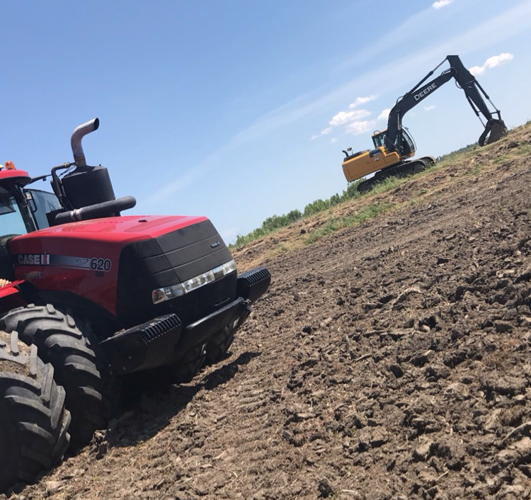
North Louisiana Land Leveling & Clearing
North Louisiana Land Leveling & Clearing
At North Louisiana Land Leveling we specialize in Dirt work of all kinds. Some of witch include Precision leveling for irrigation, land clearing, roads, ditches, and pads. We have been in business for over 35 years. Family owned and insured.
At North Louisiana Land Leveling we specialize in Dirt work of all kinds. Some of witch include Precision leveling for irrigation, land clearing, roads, ditches, and pads. We have been in business for over 35 years. Family owned and insured.
EARTHWORK OUTLAWS
EARTHWORK OUTLAWS
Emergency services offered
Let us help you improve your property value with our top of the line equipment and staff! We pride ourselves on our customer satisfaction and hospitality. We offer all earthwork, landscaping, driveway, dirt, fencing, and many more services with FREE ESTIMATES!!!
Let us help you improve your property value with our top of the line equipment and staff! We pride ourselves on our customer satisfaction and hospitality. We offer all earthwork, landscaping, driveway, dirt, fencing, and many more services with FREE ESTIMATES!!!
Land Surveying questions, answered by experts
The Deville, LA homeowners’ guide to land surveying services
From average costs to expert advice, get all the answers you need to get your job done.
 •
•Just bought a plot of land and need to get it build-ready? Learn how much it costs to clear land to gauge your initial budget before you break ground.

Discover site preparation cost estimates, including average prices, cost factors, and tips to help homeowners budget for their next project.

A land survey can determine your property’s borders and settle property disputes. Learn how much a land survey costs and what can affect the price.

A land surveyor can perform a land survey and help clarify your property boundaries and features. Use this guide to find the right professional.

Real estate transactions often require a survey, but who pays for it? Learn who pays for a land survey in most cases and some exceptions to the norm.

Wondering whether you need a land survey or a plot plan? Learn about the differences between the two, when to do each, and what information they provide.
What do you need done? We’ll find top pros.
- 🌱 "Mow a small front yard"
- 🛠 "Fix a leaking pipe under the sink"
- 🏠 "Repair shingles on an asphalt roof"