




Porter Land Surveying
Land Surveyor
Serving Castleton, VT and surrounding areas
In business since 2008
Free estimates
Porter Land Surveying
*The Angi rating for Land Surveying companies in Castleton, VT is a rating based on verified reviews from our community of homeowners who have used these pros to meet their Land Surveying needs.
*The HomeAdvisor rating for Land Surveying companies in Castleton, VT is a rating based on verified reviews from our community of homeowners who have used these pros to meet their Land Surveying needs.
Last update on May 02, 2026
From average costs to expert advice, get all the answers you need to get your job done.
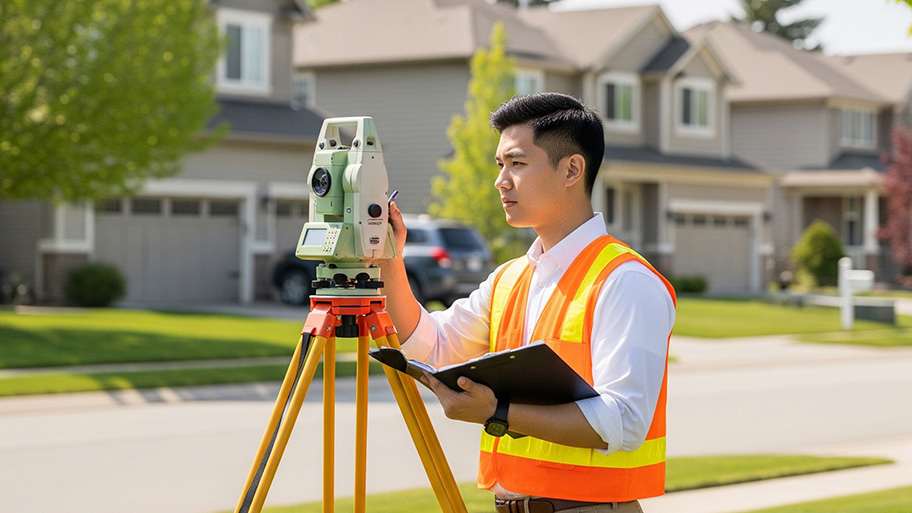
A land survey can determine your property’s borders and settle property disputes. Learn how much a land survey costs and what can affect the price.
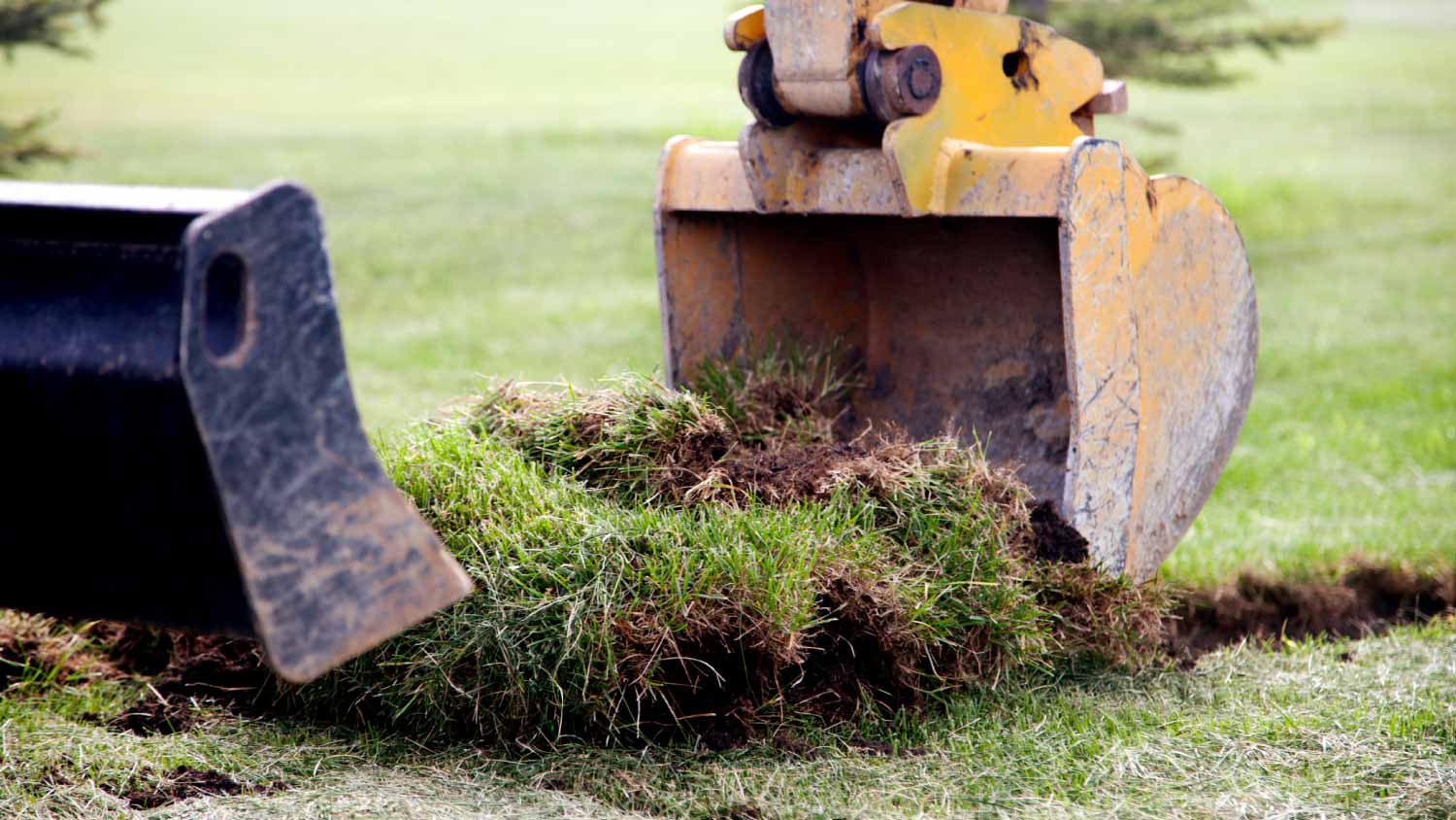
Discover site preparation cost estimates, including average prices, cost factors, and tips to help homeowners budget for their next project.
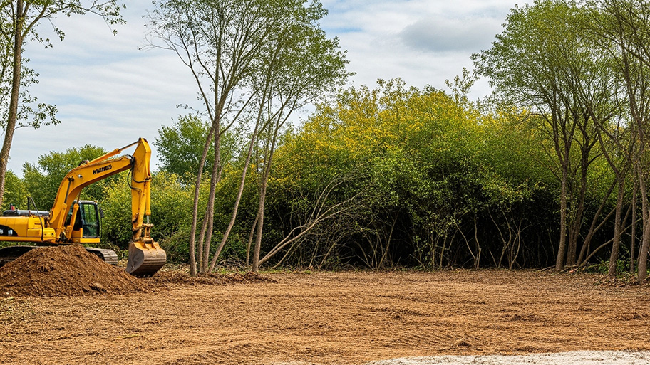
Going from an undeveloped plot to your dream home can be expensive. Learn about the cost to develop land and what factors can affect your total.

A land surveyor can perform a land survey and help clarify your property boundaries and features. Use this guide to find the right professional.
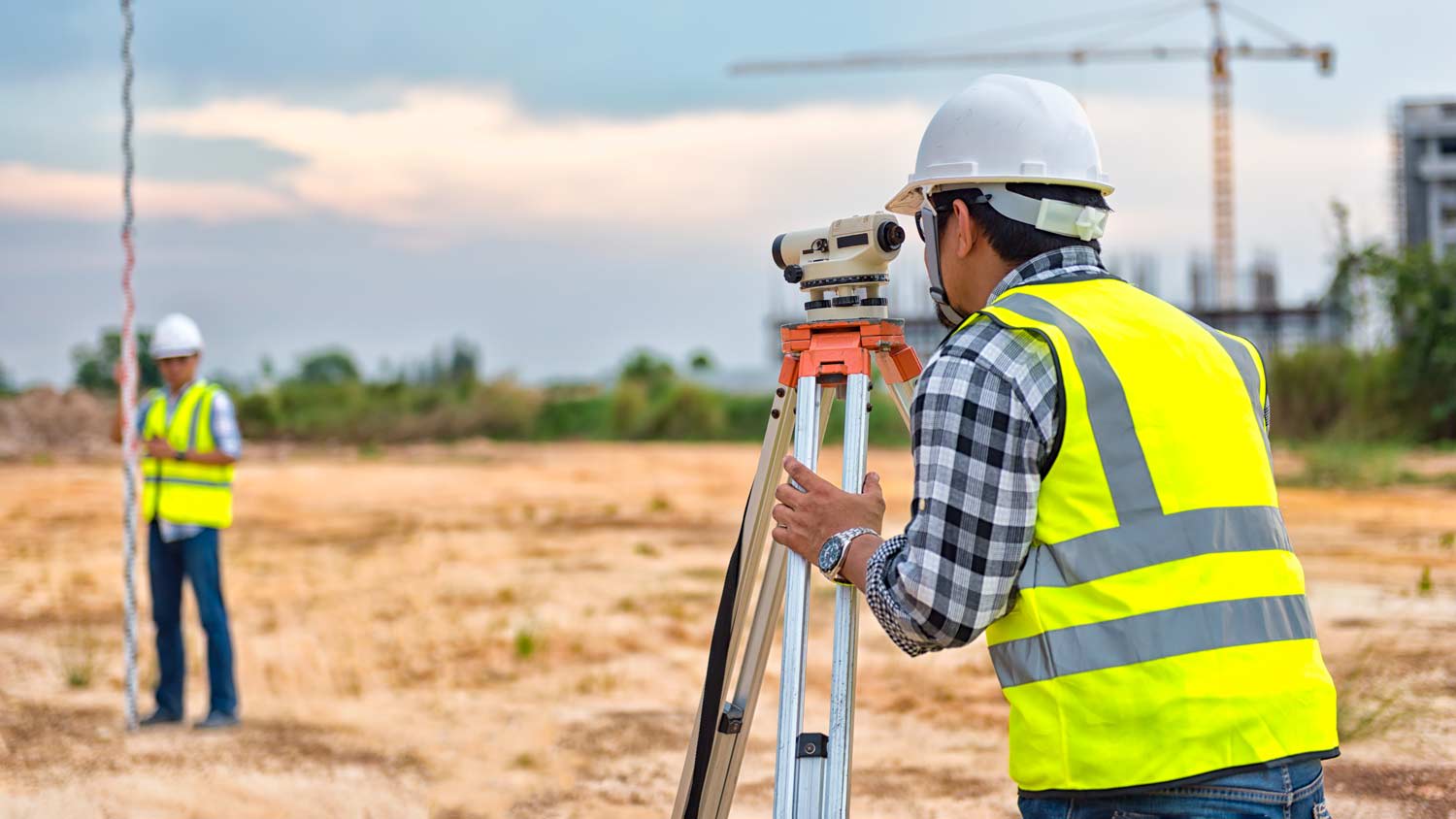
Not sure what kind of property survey you need? Learn about the differences between a land survey vs. a boundary survey to get started.

Wondering whether you need a land survey or a plot plan? Learn about the differences between the two, when to do each, and what information they provide.