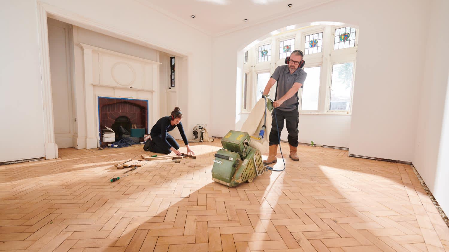






Top-rated floor sanding pros.

Get matched with top floor sanding pros in Richfield, UT

Enter your zip and get matched with up to 5 pros

Need a pro for your floor sanding project in Richfield, UT?

Select your specific project to find the pro for you.

Find Floor sanding pros in Richfield

Avatar for Statement Hardwood Flooring
Statement Hardwood Flooring
3.7(
6
)
Wood Flooring - Refinish

Serving Richfield, UT and surrounding areas

Approved

In business since 2019

Free estimates

Customers say: Quick response

"We foster dogs and they did some damage to our existing flooring. We were very happy with Statement Hardwood Flooring. They were able to repair some sections of our floors, and what could not be repaired, new Luxury Vinyl Plank (LVP) was installed. Beautiful work at a reasonable cost. We are more than happy to put out the good words of our experience and support this local company."
Logo
Hardwood Refinishing

+1

Response time3 hrs
Response rate100%
5 neighbors recently requested a quote
Floor Sanding questions, answered by experts

A few different types of land surveys can help determine certain features and boundaries of your property. These include:

  • Boundary surveys describe the actual borders of a property. These are generally required when trying to get construction permits issued. 

  • Location surveys provide much of the same information as a boundary survey but also include in-depth information about any improvements made to your property. 

  • Mortgage location surveys are usually required by lenders and title companies before financing or offering an insurance policy. 

  • Site-planning surveys are done before applying for building permits and can be issued before any major home improvements. 

  • Topographic surveys provide a formal map of land elevations. It can also describe the location and size of natural features and any land improvements.

A boundary survey measures the boundary lines of the property, only the length of each property line and their locations. A land survey includes a more in-depth measurement of the property, including the heights and depths of the terrain measured by a topographic survey. A boundary survey is typically the most cost-effective method for marking and measuring property lines.

A land survey defines and records the physical aspects of a property, including its boundaries, dimensions, easements, features, and sometimes topographical information. In contrast, a land appraisal determines the property's monetary value. While an appraiser will often consult a land survey to understand the property's physical specifications, the survey itself does not determine the land's value.

If you’re planning to dig on your property, you’ll need to check for underground utility lines. Call the national call-before-you-dig 811 number. Once connected to an operator, you can schedule a site visit to mark underground lines. This way, you won’t accidentally dig into pipes and can cause major (read: costly) issues.

Land surveys don’t technically expire. They do serve as a point of reference and a snapshot of your property, though, so as soon as you make changes to your property (and even if your neighbor makes certain changes to theirs), your existing land survey becomes inaccurate, and a new one must be done. Even if you don’t make any changes to your property, many states only guarantee the accuracy of a land survey for five to ten years.

The Richfield, UT homeowners’ guide to floor sanding services

From average costs to expert advice, get all the answers you need to get your job done.