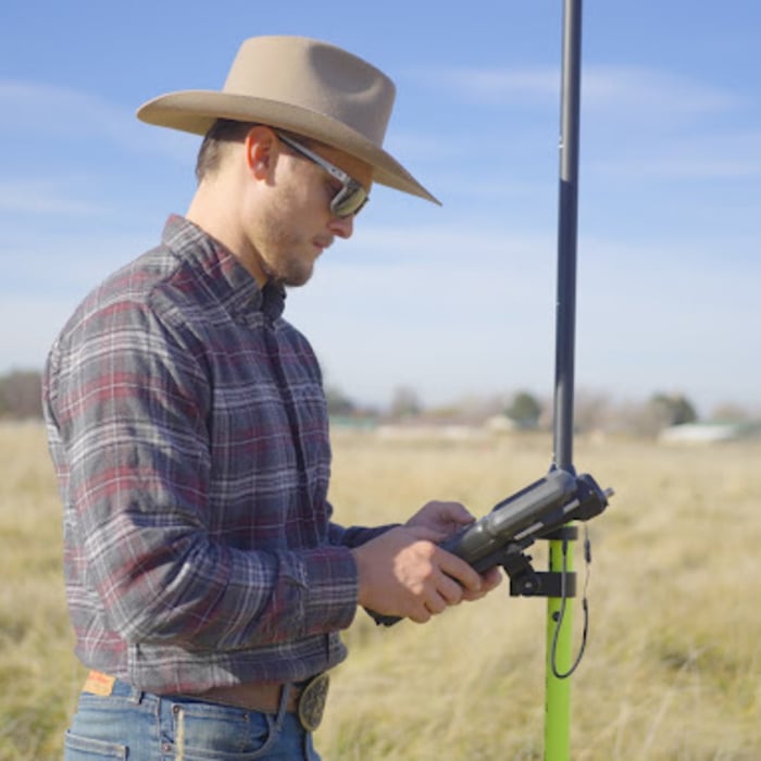
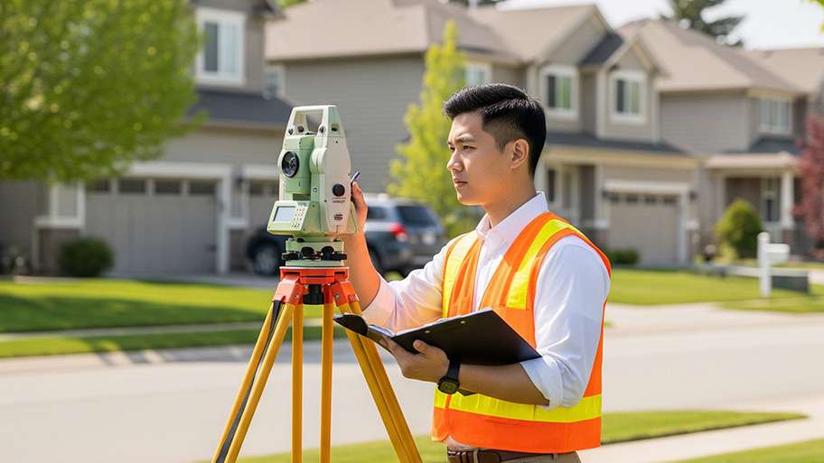
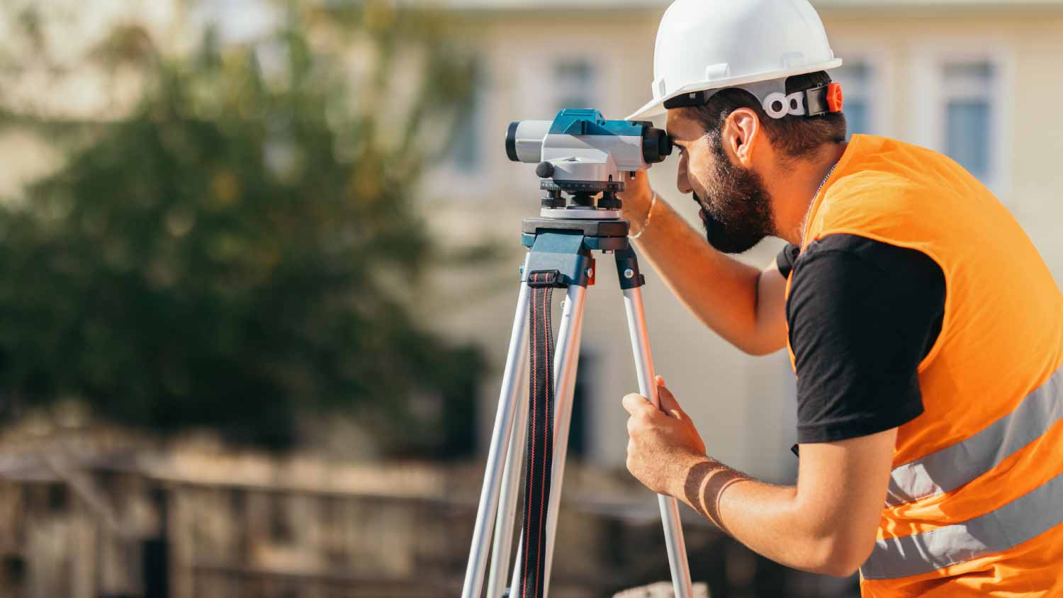
Top-rated land surveyors.

Get matched with top land surveyors in Cache Junction, UT

Enter your ZIP and get matched with up to 5 pros

Need a pro for your land surveying project in Cache Junction, UT?

Select your specific project to find the pro for you.

Find Land surveyors in Cache Junction

Element Land Surveying

PO Box 991
No reviews yet

Element Land Surveying

PO Box 991
No reviews yet

Element Land Surveying provides land surveying for all of Utah, including Heber City. Our certified and licensed team of land surveyors offer a wide range of surveying services for both residential and commercial properties. We offer land surveying, geographic scanning, and mapping for all of Utah. Our knowledgeable professionals will ensure your survey work is completed on time and within budget.

Element Land Surveying provides land surveying for all of Utah, including Heber City. Our certified and licensed team of land surveyors offer a wide range of surveying services for both residential and commercial properties. We offer land surveying, geographic scanning, and mapping for all of Utah. Our knowledgeable professionals will ensure your survey work is completed on time and within budget.


Avatar for Keogh Rosenberg Land Survey

Keogh Rosenberg Land Survey

PO Box 218
No reviews yet

Keogh Rosenberg Land Survey

PO Box 218
No reviews yet

Keogh and Rosenberg Land Survey would like to help you with your surveying needs. Our friendly office staff can help you with the bidding and billing procedures. Open 8:00 am to 5:00 pm Monday through Friday, we welcome walk ins. Give us a call at 4359-259-8171 and we would be glad to help you with your surveying needs.

Keogh and Rosenberg Land Survey would like to help you with your surveying needs. Our friendly office staff can help you with the bidding and billing procedures. Open 8:00 am to 5:00 pm Monday through Friday, we welcome walk ins. Give us a call at 4359-259-8171 and we would be glad to help you with your surveying needs.


Ludlow Engineering and Land Surveying

645 N Main
No reviews yet

Ludlow Engineering and Land Surveying

645 N Main
No reviews yet
50 years of experience

We cover the Western United States in ALTA Survey Coordination. Our services include ALTA Surveys, Preliminary and Final Land Title Coordination, Phase 1 Environmental Coordination. You make one simple request and let us do the rest. Call Today to receive your estimate on these services – (435) 623-0897. We cover the following states : California, Oregon, Washington, Idaho, Montana, Wyoming, Utah, Colorado, Arizona and New Mexico. If there are needs outside these states, we desire to accommodate those requests as well. Ludlow Engineering and Land Surveying have several Civil Engineers, Professional Land Surveyors and Staff on hand to handle any size of project. Give us a call today - 435-623-0897

We cover the Western United States in ALTA Survey Coordination. Our services include ALTA Surveys, Preliminary and Final Land Title Coordination, Phase 1 Environmental Coordination. You make one simple request and let us do the rest. Call Today to receive your estimate on these services – (435) 623-0897. We cover the following states : California, Oregon, Washington, Idaho, Montana, Wyoming, Utah, Colorado, Arizona and New Mexico. If there are needs outside these states, we desire to accommodate those requests as well. Ludlow Engineering and Land Surveying have several Civil Engineers, Professional Land Surveyors and Staff on hand to handle any size of project. Give us a call today - 435-623-0897


Advanced Land Surveying

1770 Research Park Way #111
5.00(
2
)

Advanced Land Surveying

1770 Research Park Way #111
5.00(
2
)
Customers say: Quick response
Recommended by 100% of Angi customers
Recommended by 100% of HomeAdvisor customers

Advanced Land Surveying will give you reliable service at a reasonable cost. If you're wanting to build a fence, subdivide, or are buying a new property, call us today for a free quote. Additional contact name - Clint Hansen. Additional email - [email protected], [email protected].

Advanced Land Surveying will give you reliable service at a reasonable cost. If you're wanting to build a fence, subdivide, or are buying a new property, call us today for a free quote. Additional contact name - Clint Hansen. Additional email - [email protected], [email protected].


Land Surveying questions, answered by experts

There are a couple of ways you can determine the depth of your well. One method is to use a device called a well sounder. This tool has a long measuring tape containing a sensor to alert you once the end reaches the water. 

Or you can DIY it by using a long tape measure with a half-filled bottle of water attached to it. Lower the tape measure into your well. Once you feel tension on the tape, you’ll know the bottle has reached your static water level. This will give you an approximate idea of your well’s depth.

The small lines on the tape measure either indicate inches, fractions of an inch, or centimeters and millimeters. On the imperial unit side (aka the inches side), the longest lines indicate inches, followed by the next shortest lines that indicate a half-inch, and then the quarter, eighth, and sixteenth-inch. On the metric side, the lines break down meters, centimeters, and millimeters.

Permit requirements to clear land vary by municipality, so whether or not you need permits depends on where you live and what you’re removing from the land. Some building departments will require permits for any underground work or excavation, meaning grinding down tree stumps on your property would require permits. Others mandate individual permits for each tree you remove. You can contact your local building department or a land-clearing specialist near you to see if permits are necessary for your job.

Property lines, building locations, and potential encroachments are mapped.

A boundary survey measures the boundary lines of the property, only the length of each property line and their locations. A land survey includes a more in-depth measurement of the property, including the heights and depths of the terrain measured by a topographic survey. A boundary survey is typically the most cost-effective method for marking and measuring property lines.

The Cache Junction, UT homeowners’ guide to land surveying services

From average costs to expert advice, get all the answers you need to get your job done.