



Top-rated land clearing pros.

Get matched with top land clearing pros in Dell Rapids, SD

Enter your zip and get matched with up to 5 pros

Need a pro for your land clearing project in Dell Rapids, SD?

Select your specific project to find the pro for you.

Find Land clearing pros in Dell Rapids

Dirt Works LLC
4.4(
4
)
Building Site - Preparation and ClearingBuilding Site - Preparation and Clearing - For Business

Serving Dell Rapids, SD and surrounding areas

In business since 2023

Free estimates

Credit card accepted

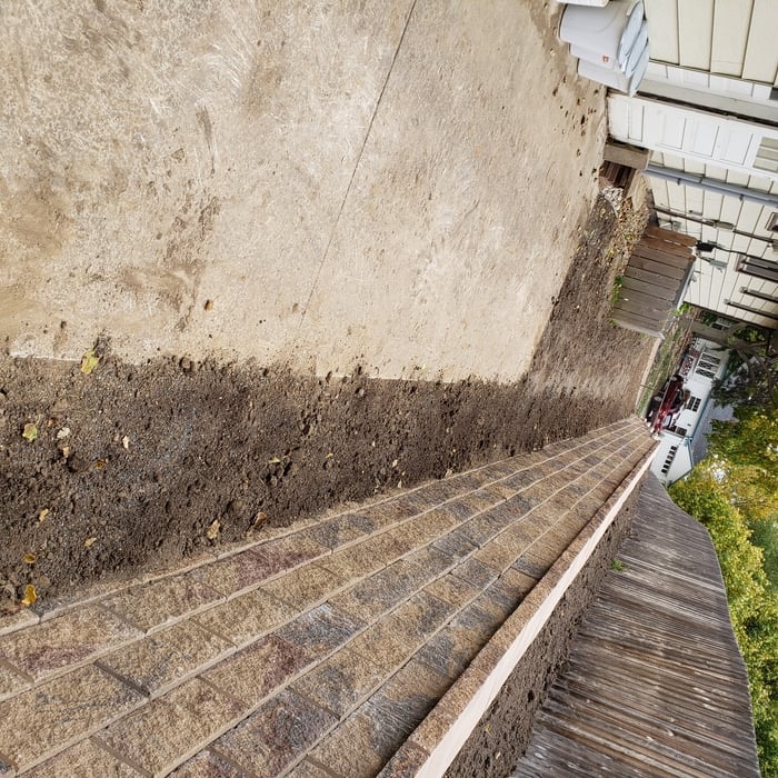
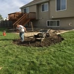
"Brandon did an amazing job of digging out and leveling what used to be a trash pit, into a beautiful dog yard! He was easy to work with and timely. If anyone need excavation or landscaping done I would use him! Heâ s a hard worker and does a nice job!"
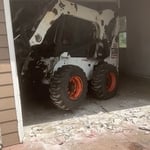
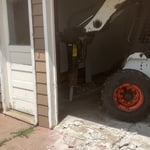
Demo garage floor
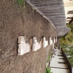
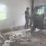
Breaking up floor
Steady eyes
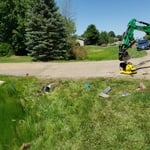
Rubble aftermath
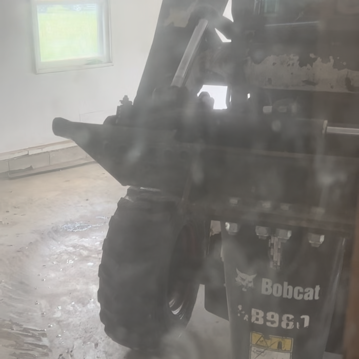
Getting up close

+9

Response time7 hrs
Recommended by100%of homeowners
Dillon's Dakota Excavating Service
2.8(
2
)
Building Site - Preparation and ClearingBuilding Site - Preparation and Clearing - For Business

Serving Dell Rapids, SD and surrounding areas

In business since 2013

Offers commercial services

"Harlan was professional, polite, and honest. He completed everything in a timely matter, payed attention detail, worked well with all the requirements we needed to abide by, and he did everything himself! Most of the other contractors I had reached out were not willing to follow the guidelines needed. Harlan was great and does not keep you waiting! I would highly recommend him! I was very pleased and have no complaints! He goes above and beyond what you ask of him!"
Response time1 day
Recommended by50%of homeowners
Showing 1-10 of 23
Land Clearing Services questions, answered by experts

Before property transactions or major improvements to ensure accuracy.

The small lines on the tape measure either indicate inches, fractions of an inch, or centimeters and millimeters. On the imperial unit side (aka the inches side), the longest lines indicate inches, followed by the next shortest lines that indicate a half-inch, and then the quarter, eighth, and sixteenth-inch. On the metric side, the lines break down meters, centimeters, and millimeters.

A land survey includes the layout of a single property, including precise measurements and to-scale drawings of boundary lines, land improvements, and sometimes other features, like topography and drainage information. A plat map includes the layouts and boundary lines of several adjacent plots and basic structure measurements. Surveys are normally more valuable for homeowners and buyers, and plat maps are for governmental use.

You should always calculate real estate development costs on a case-by-case basis, so there’s no specific formula to estimate your total. You should speak with a local construction manager to see what you’ll need to do in terms of clearing and leveling the land, connecting utilities, and pulling permits for construction. A professional will be able to get you an accurate estimate for land development.

A few different types of land surveys can help determine certain features and boundaries of your property. These include:

  • Boundary surveys describe the actual borders of a property. These are generally required when trying to get construction permits issued. 

  • Location surveys provide much of the same information as a boundary survey but also include in-depth information about any improvements made to your property. 

  • Mortgage location surveys are usually required by lenders and title companies before financing or offering an insurance policy. 

  • Site-planning surveys are done before applying for building permits and can be issued before any major home improvements. 

  • Topographic surveys provide a formal map of land elevations. It can also describe the location and size of natural features and any land improvements.

The Dell Rapids, SD homeowners’ guide to land clearing services

From average costs to expert advice, get all the answers you need to get your job done.