

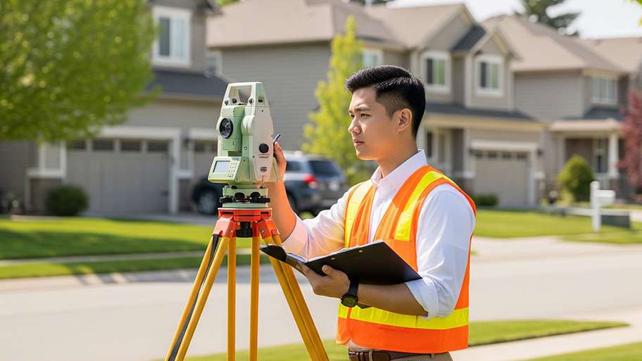
A land survey can determine your property’s borders and settle property disputes. Learn how much a land survey costs and what can affect the price.

*The Angi rating for Land Surveying companies in Questa, NM is a rating based on verified reviews from our community of homeowners who have used these pros to meet their Land Surveying needs.
*The HomeAdvisor rating for Land Surveying companies in Questa, NM is a rating based on verified reviews from our community of homeowners who have used these pros to meet their Land Surveying needs.
Last update on February 08, 2026
From average costs to expert advice, get all the answers you need to get your job done.
A land survey can determine your property’s borders and settle property disputes. Learn how much a land survey costs and what can affect the price.
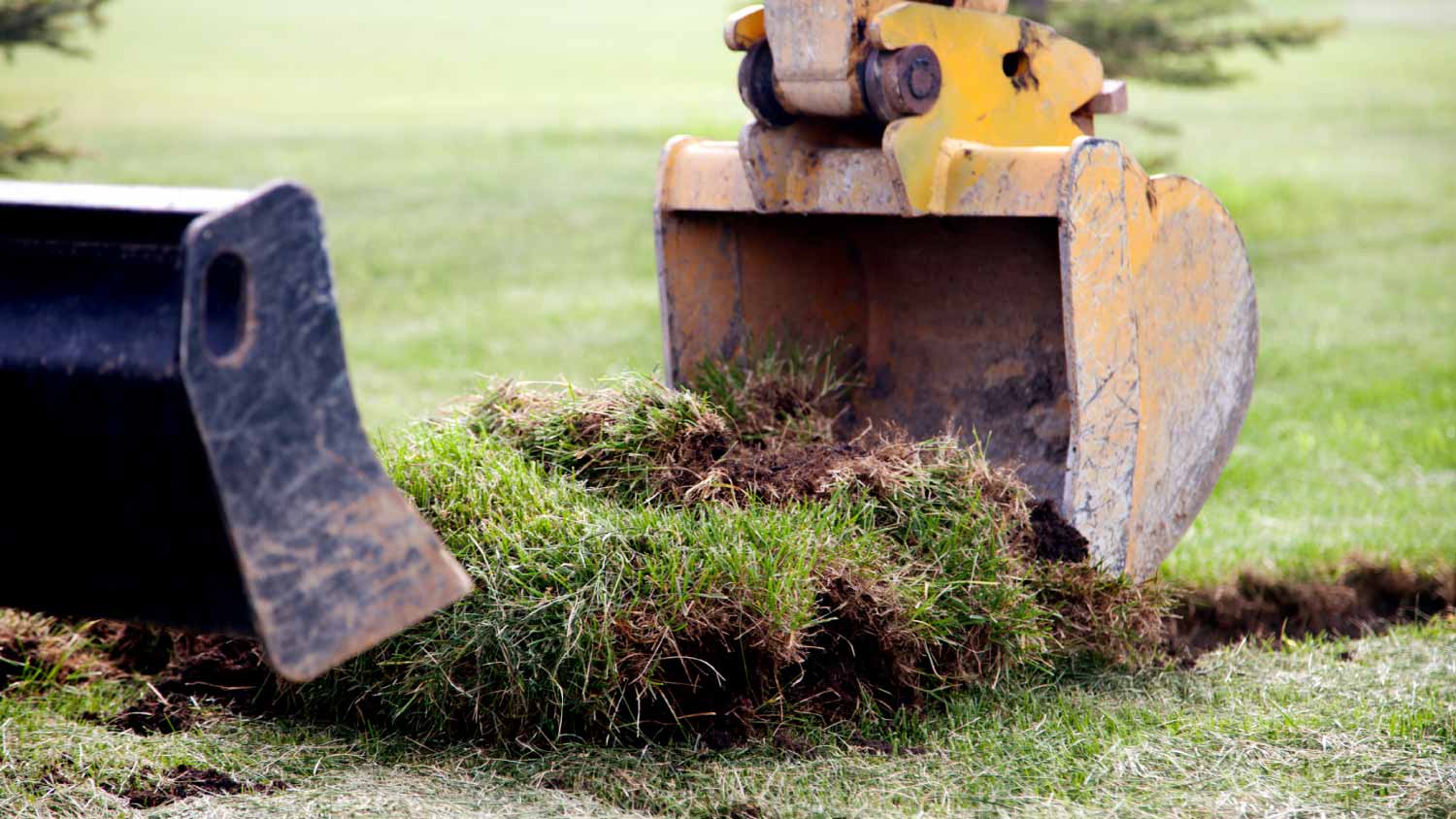
Discover site preparation cost estimates, including average prices, cost factors, and tips to help homeowners budget for their next project.

Find out how much an elevation certificate costs, including average prices, cost factors, and tips to save money when hiring a surveyor for your property.

A land surveyor can perform a land survey and help clarify your property boundaries and features. Use this guide to find the right professional.

If you've just been told that you need a land survey to continue your project, what time of land survey do you really need? Here are eight main options.
If you're selling or remodeling a home, land surveys are more common than you think. But, what is a land survey? Here's what to know about the process.