

Top-rated land surveyors.

Get matched with top land surveyors in Cedar Crest, NM

Enter your zip and get matched with up to 5 pros

Need a pro for your land surveying project in Cedar Crest, NM?

Select your specific project to find the pro for you.

Find Land surveyors in Cedar Crest

Land Surveying questions, answered by experts

Permit requirements to clear land vary by municipality, so whether or not you need permits depends on where you live and what you’re removing from the land. Some building departments will require permits for any underground work or excavation, meaning grinding down tree stumps on your property would require permits. Others mandate individual permits for each tree you remove. You can contact your local building department or a land-clearing specialist near you to see if permits are necessary for your job.

This is fairly rare, but sometimes the local government or a group like a historical society will label a tree as a landmark, or historical item. These designations almost always come with a small, on-site plaque for identification, but you should also be able to look up protected trees in your area on a city website or similar list. If the tree in question is a landmark, call your local government and ask how to proceed before making any plans.

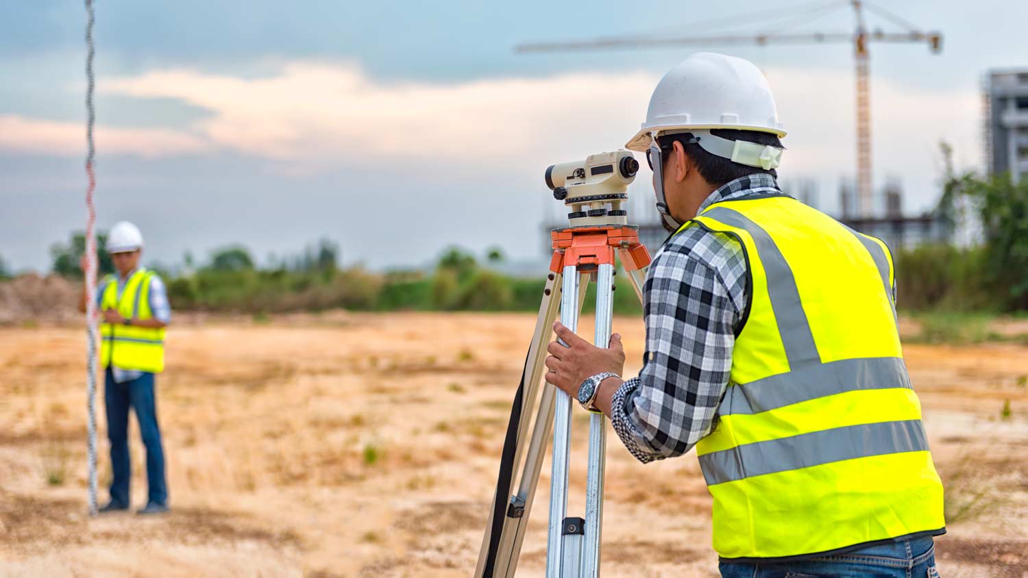
Land surveying can help give clear guidance on your property boundaries for numerous situations. And in some cases, having your land surveyed is a requirement. Some common reasons to have your land surveyed include:

  • Planning for construction projects, like building a fence

  • Locating utilities, such as plumbing fixtures

  • Settling property line disputes 

  • Creating subdivisions 

  • Meeting mortgage requirements

  • Selling your property

ALTA/ACSM surveys are the most comprehensive type of land survey and, as such, tend to be the most expensive. These surveys have standardized guidelines and reports and are used in many kinds of real estate transactions to ensure consistent and accurate information is available for properties.

A boundary survey measures the boundary lines of the property, only the length of each property line and their locations. A land survey includes a more in-depth measurement of the property, including the heights and depths of the terrain measured by a topographic survey. A boundary survey is typically the most cost-effective method for marking and measuring property lines.

The Cedar Crest, NM homeowners’ guide to land surveying services

From average costs to expert advice, get all the answers you need to get your job done.